
Zion and Bryce Canyon

As the Grand Canyon shut down and all visitors were forced to leave the park, it became clear our trip was likely going to change. However, given the remote nature of our next stop, we decided to continue on. This brought us back to Utah and the Iron Hills with the hope of seeing Zion NP and Bryce Canyon NP.
Zion
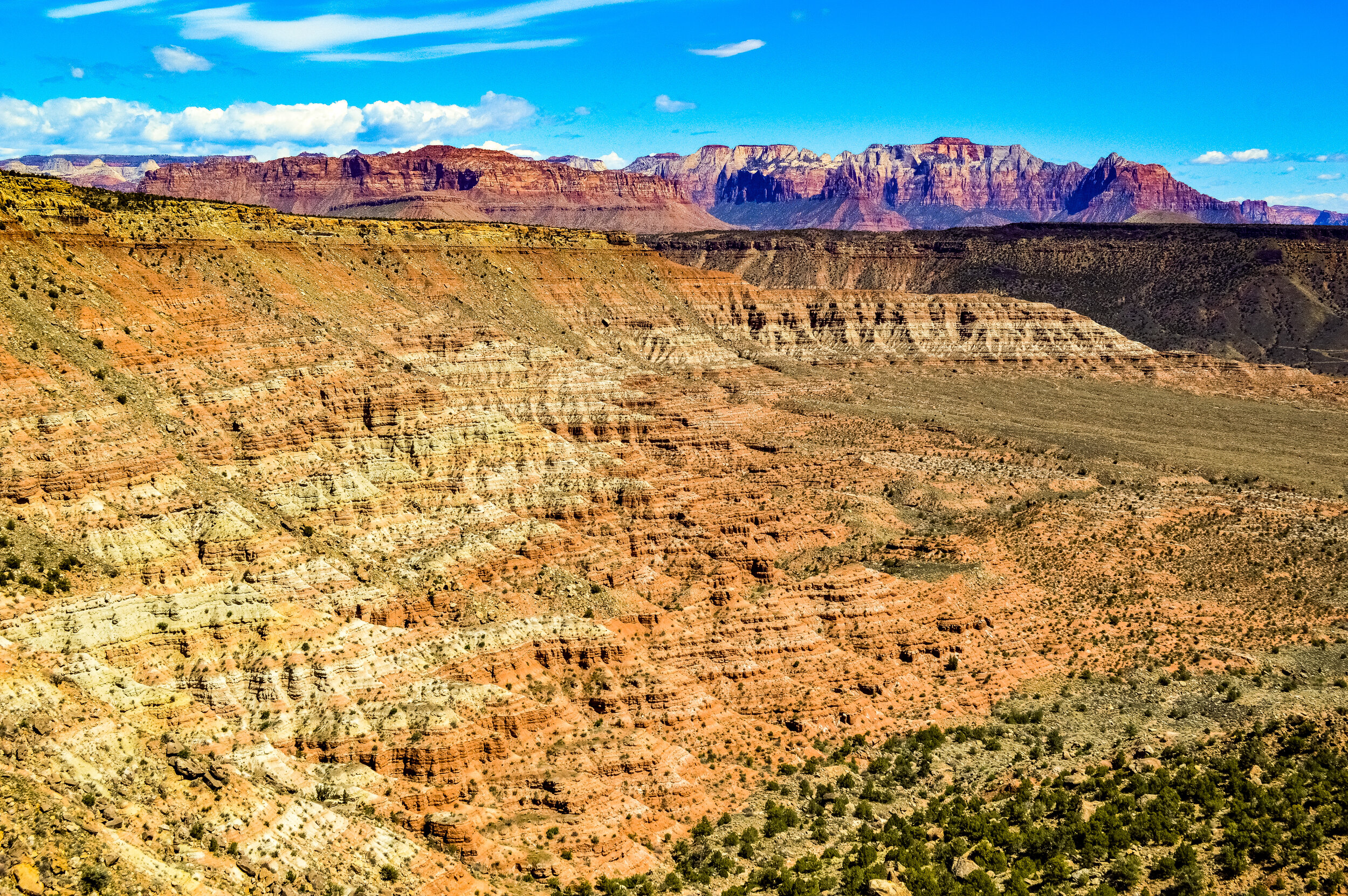
Coming from the Grand Canyon to Zion was a fascinating look into the geologic formation of the area. As part of the Grand Staircase geologic formation, Zion has been uplifted and eroded into colorful cliffs that stretch across the Southwest and connect some of Utah’s most beautiful areas. The bottom Kaibab formation layer at Zion, for example, is the top layer of the Grand Canyon. Zion’s top Cedar Mountain formation is the base layer of Bryce Canyon. Connecting each of these parks is 110-270 million years of history – a figure that is hard to appreciate, but awe-inspiring when you traverse across these parks in succession and see each connecting layer. While it took thousands of years to form what we see today, Zion, like the rest of the lands that make up the Colorado Plateau, continues to change and deepen as the plateau relentlessly continues to rise. All of this uplifting and erosion creates a magnificent display of Navajo sandstone, the most prominent layer of the park, and reminds visitors of the giant sand desert that engulfed Utah and parts of Arizona for millions of years. Landmarks like the Great White Throne and Angels Landing show ancient sand dunes stretching upwards as petrified monoliths. As the artist Frederick Dellenbaugh ponders in a 1904 addition of Scribner’s Magazine:
“One hardly knows just how to think of [the Grand Temple monolith]. Never before has such a naked mountain of rock entered our minds. Without a shred of disguise its transcendent form rises pre-eminent. There is almost nothing to compare it to. Niagara has the beauty of energy; the Grand Canyon of immensity; the Yellowstone of singularity; the Yosemite of altitude; the ocean of power; this Great Temple of eternity.”

This sentiment holds true for today’s generation, as was clearly demonstrated by the number of visitors we saw throughout the park. As we entered Zion to complete our first family hike, it was quite clear that the main trails in this park were likely not going to be safe for our family, nor remain open for long. Each trail we drove by felt overrun with people who were banking on the same hopes we were: ideally fewer people visiting the parks due to COVID and the possibility of the park closing. Instead, it felt like there were likely more people in Zion than we would normally see in an effort to explore the park before it closed! While Zion is Utah’s oldest NP, it has quickly become one of the nation’s favorite destinations. In fact, Zion’s annual visitation now outnumbers Yellowstone, a park that is 15 times the size of Zion (I.e. that is a lot of people in a relatively small space). Keeping our family safe was clearly priority #1, so after completing the Canyon Overlook Trail, we limited ourselves to some of the least traveled parts of the park in Zion’s Kolob Canyon.
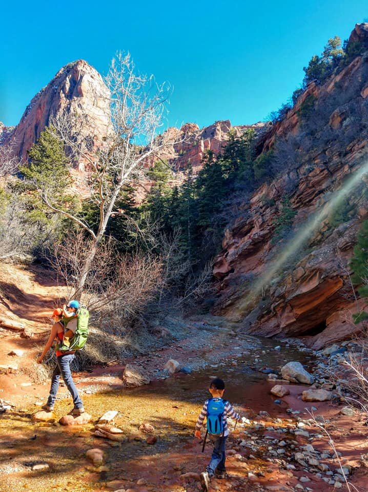
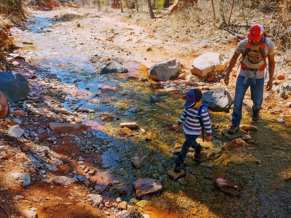
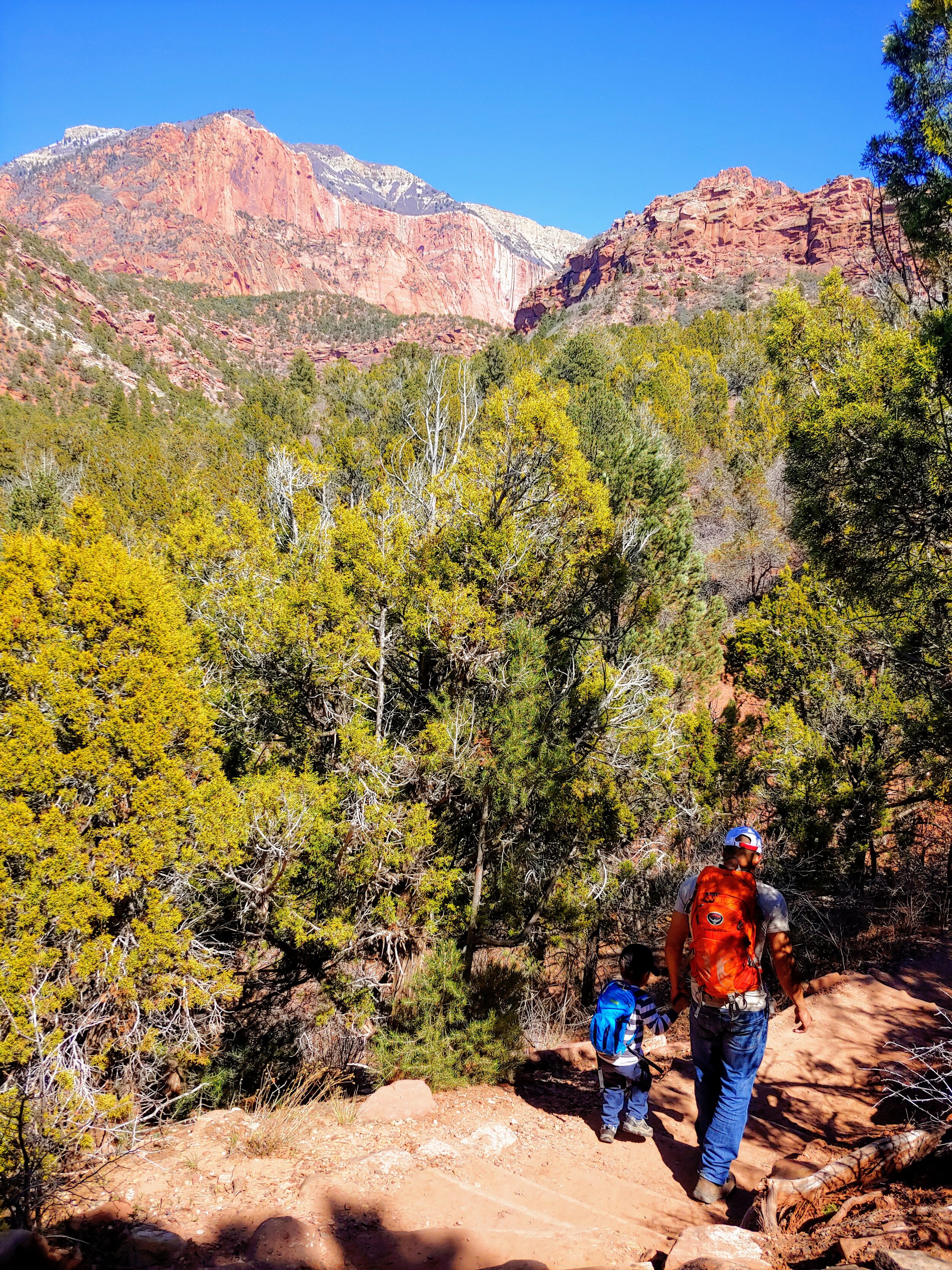
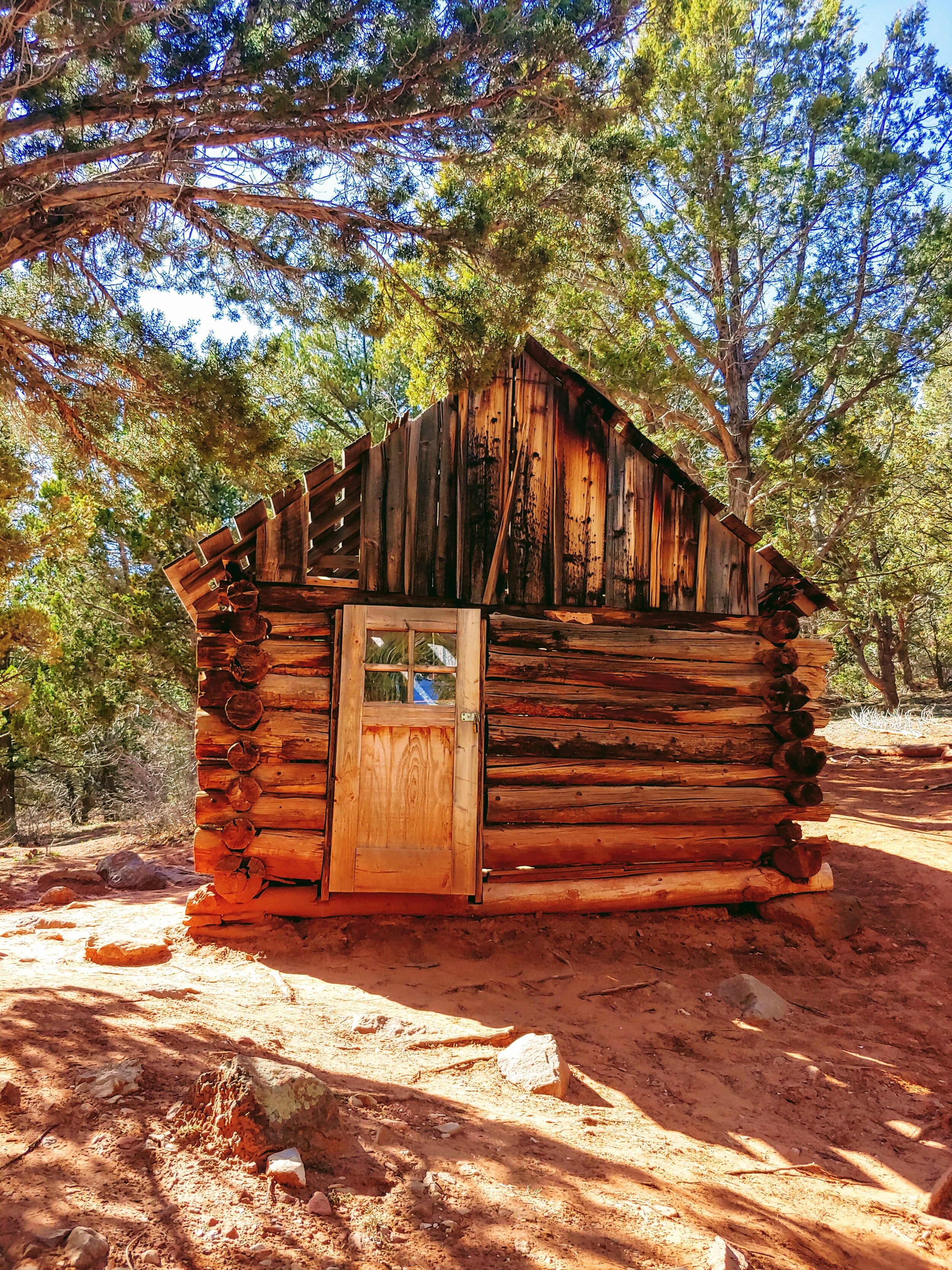
Due to Kolob Canyon’s remote location in the park’s backcountry, we were free to explore as a family and felt safer hiking trails that had little to no traffic. The short 1-mile Timber Creek Overlook Trail had spectacular views of the Kolob Canyons, the Kolob Terrace, and the Pine Valley Mountains and was a perfect morning venture for the kids as we could picnic near the trailhead after completing the hike. Taylor Creek Trail was another family favorite – we spent a warm spring afternoon venturing into the narrow box canyon leading to Double Arch Alcove. With two historic homestead cabins and 52 water crossings along the trail, the kids thoroughly enjoyed this 5-mile hike into the Zion Wilderness.
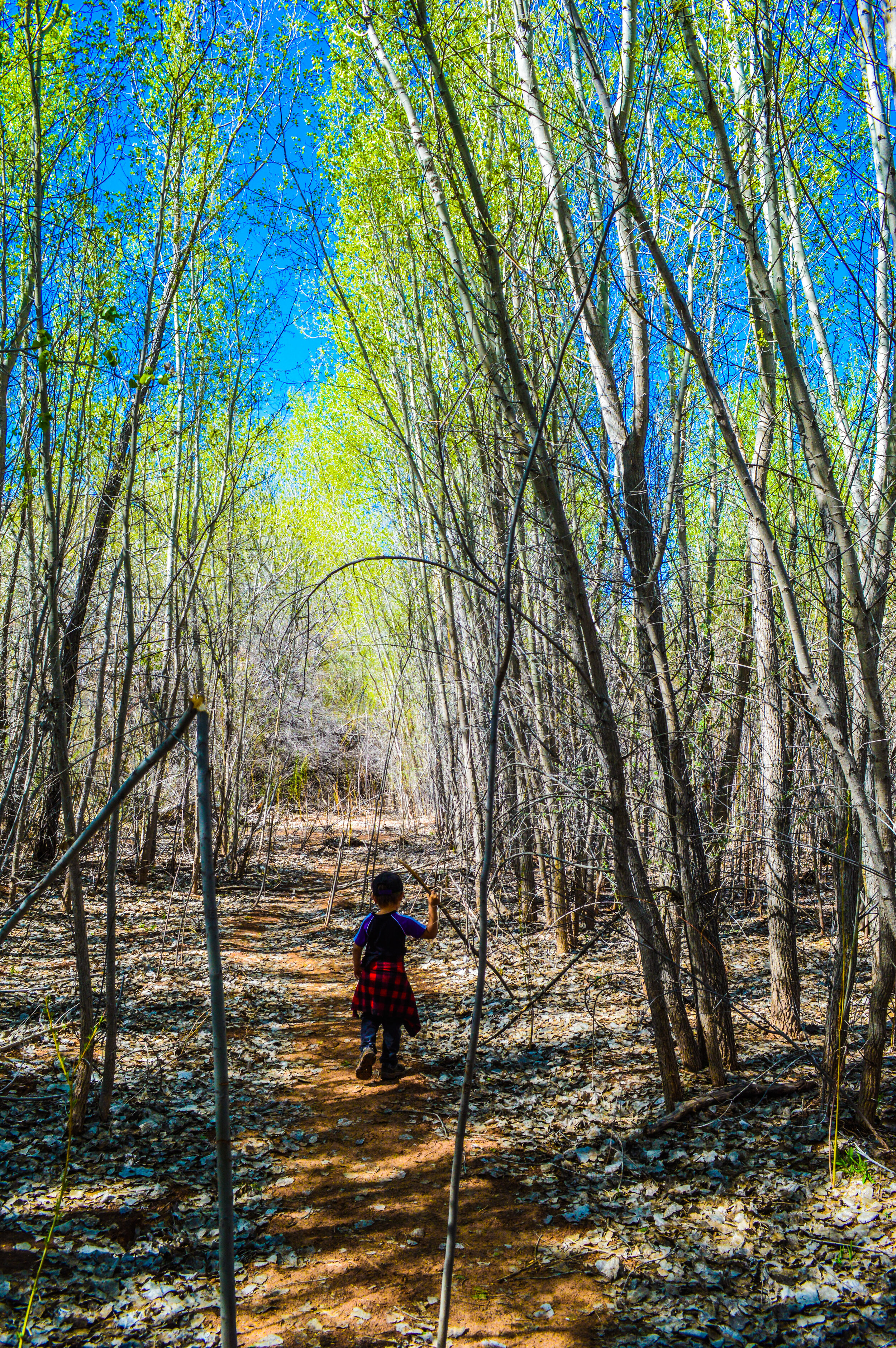
Unfortunately, our time with this park felt very incomplete as the park closed just one week after we had arrived. We were able to find a number of areas in the Virgin Valley that allowed us to essentially hike around the boundaries of Zion, and while we will be returning to this gorgeous park to get a more complete experience, it felt like we still found opportunities to enjoy views of Zion.
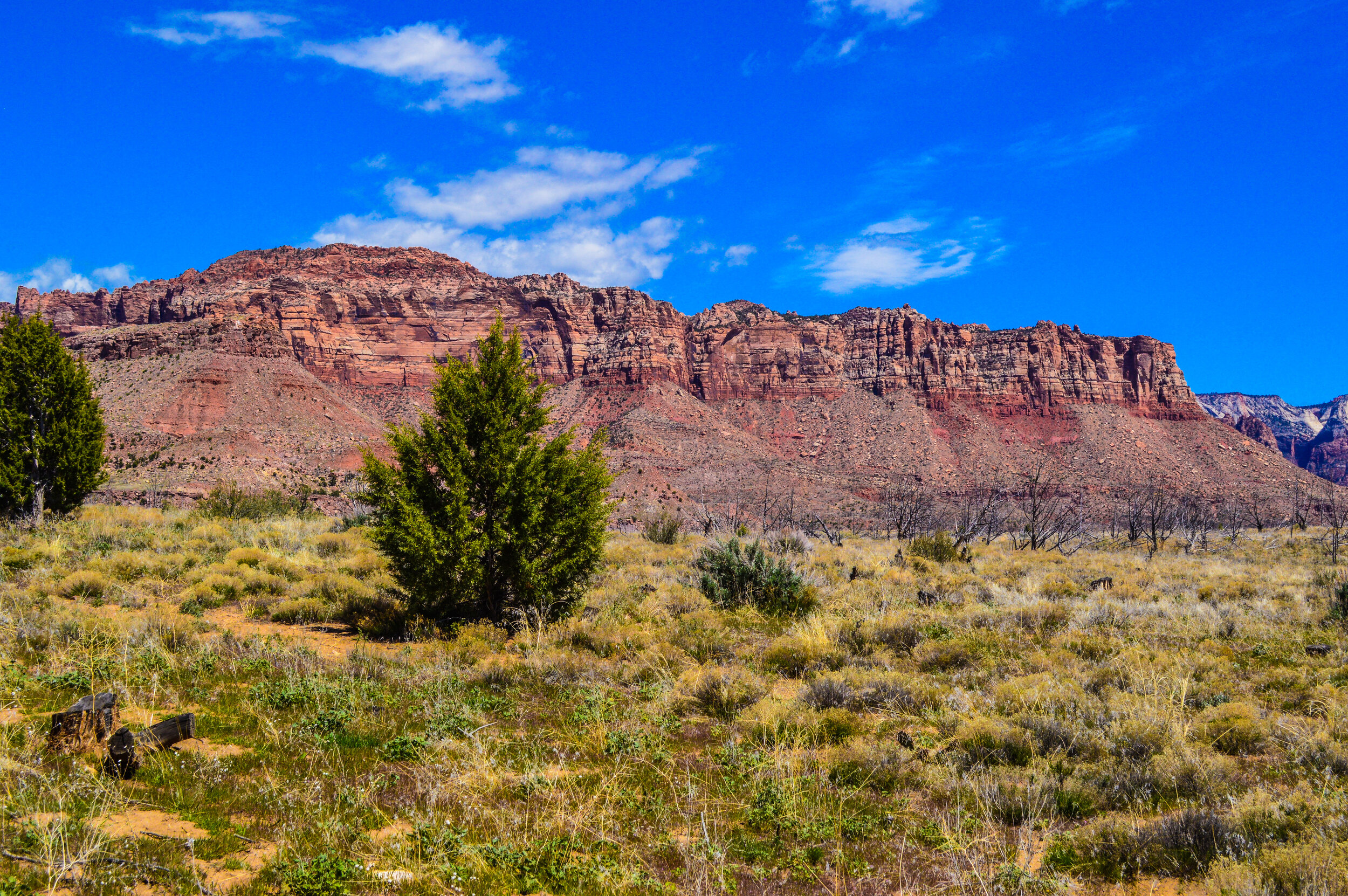
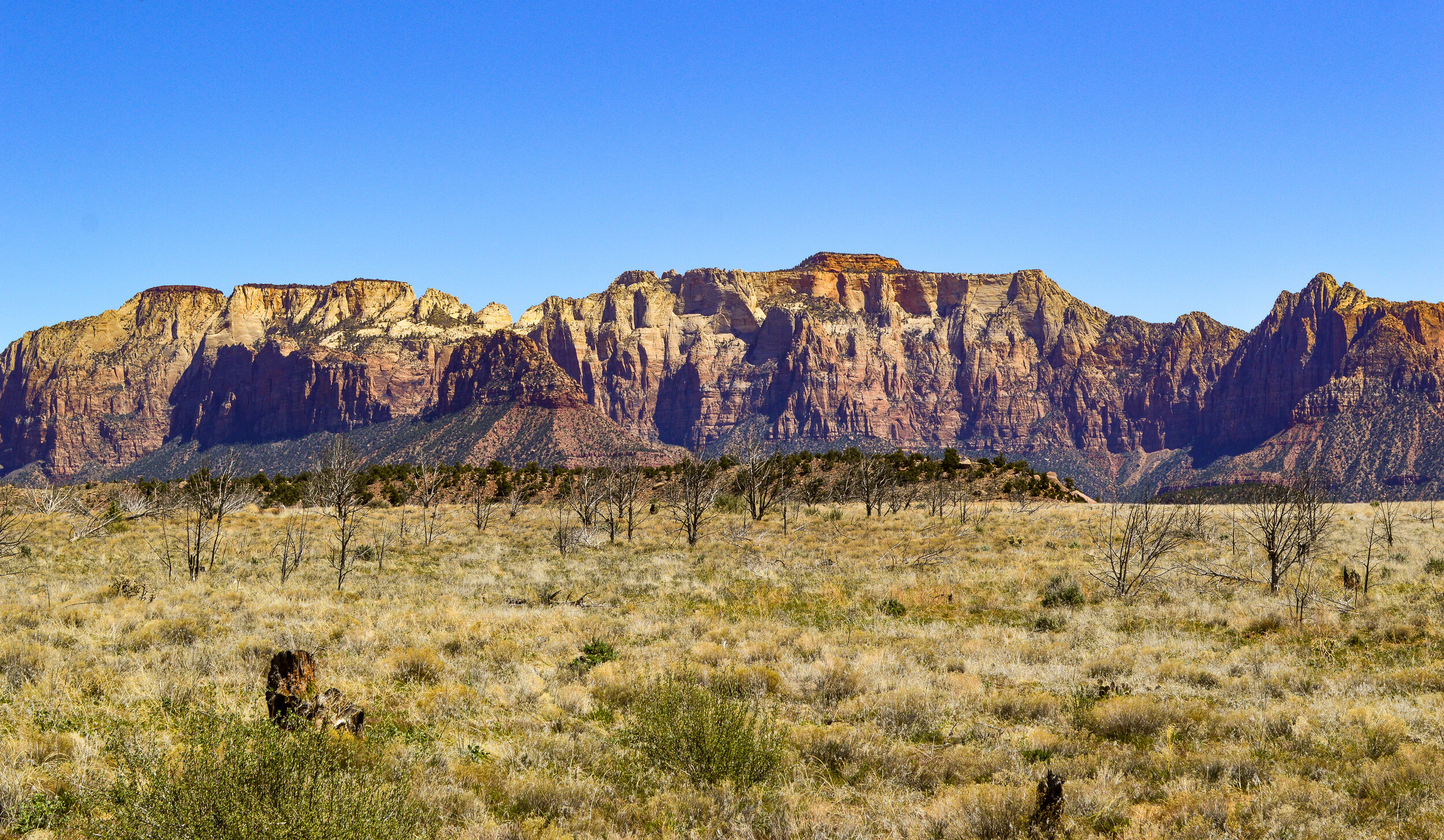
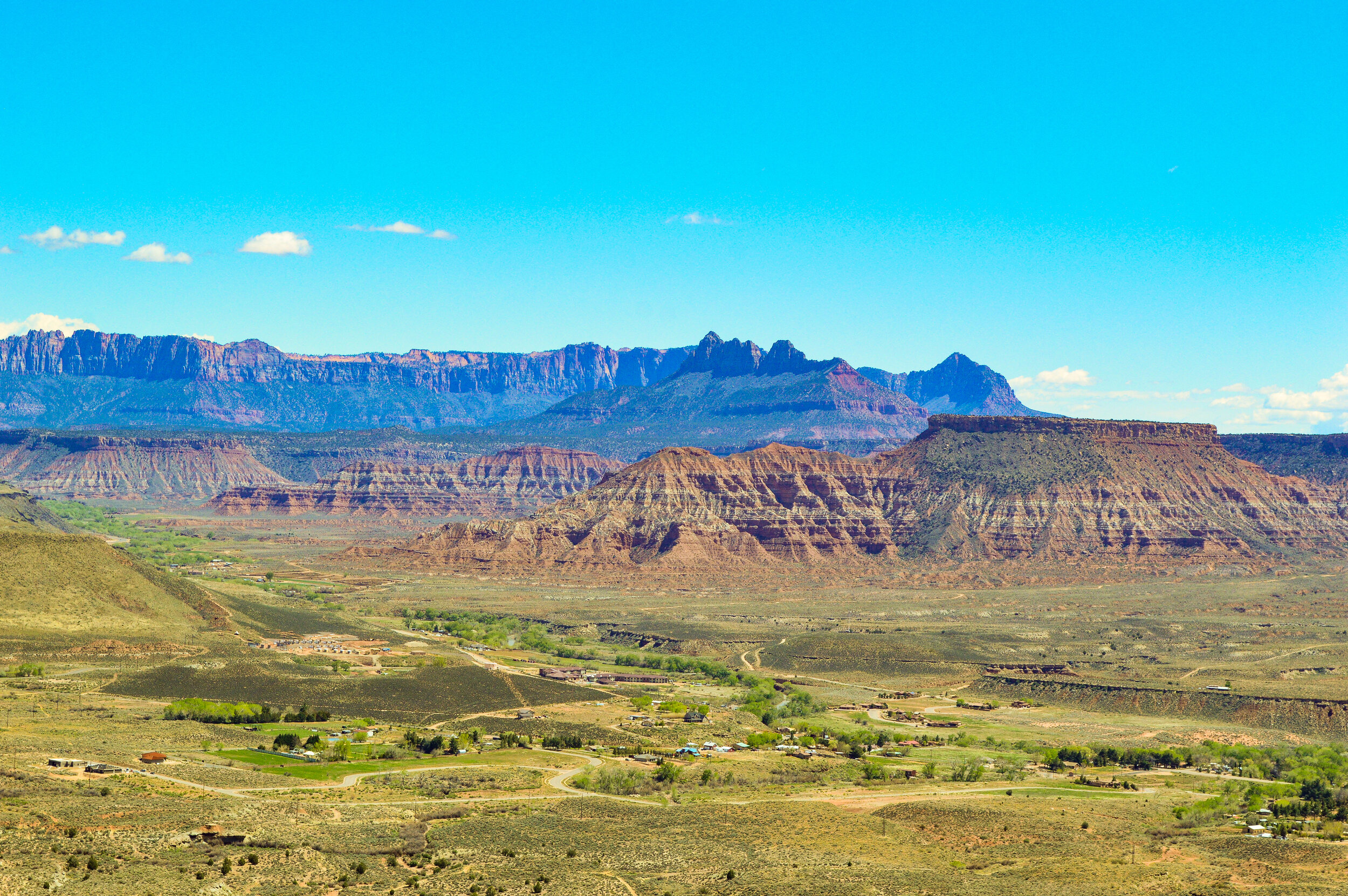
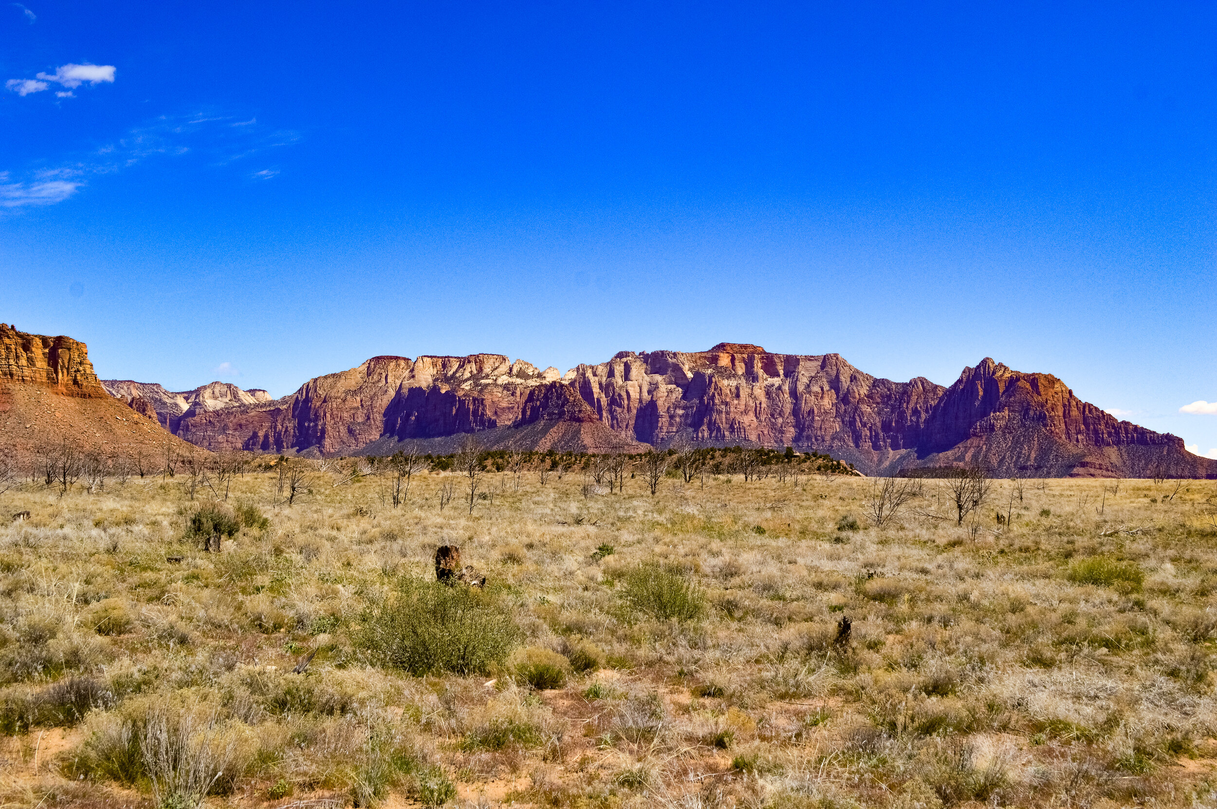
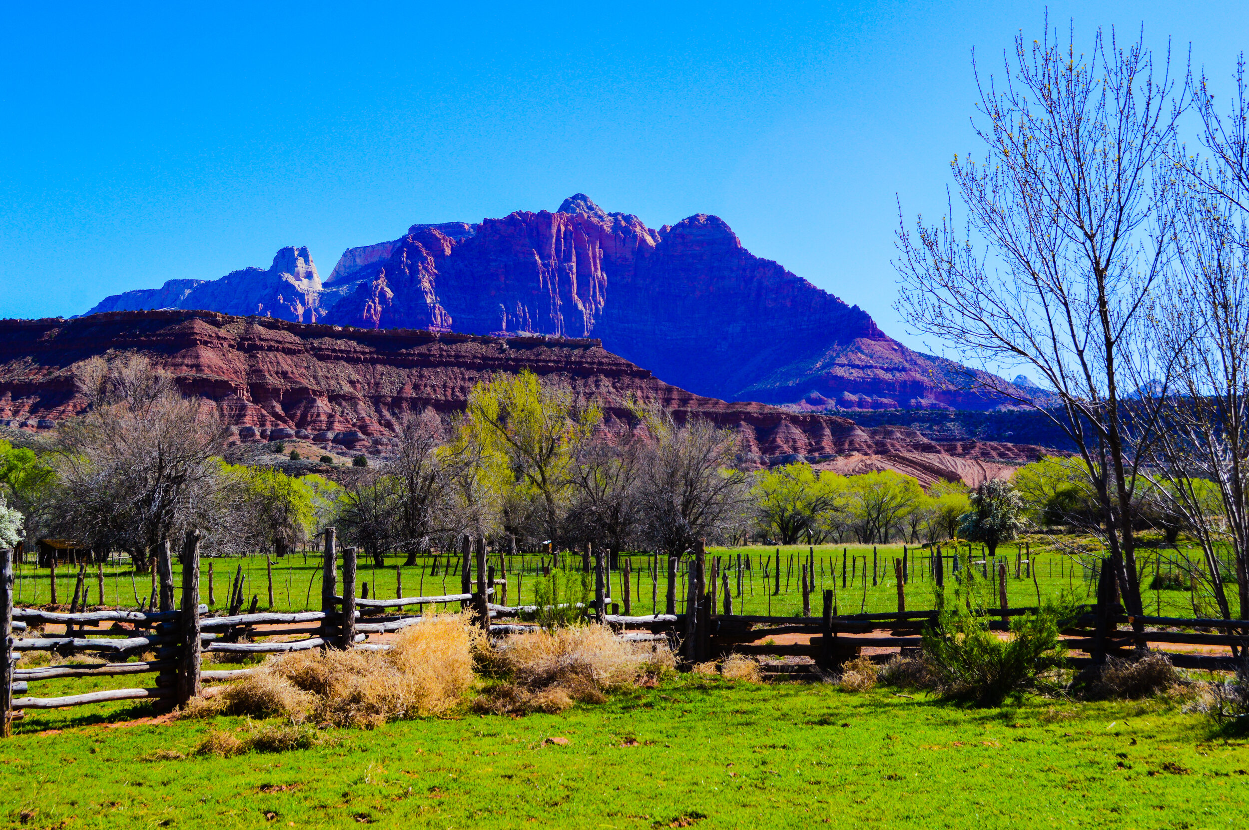
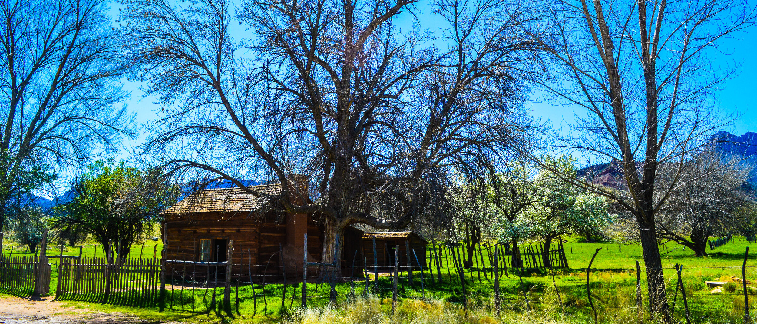
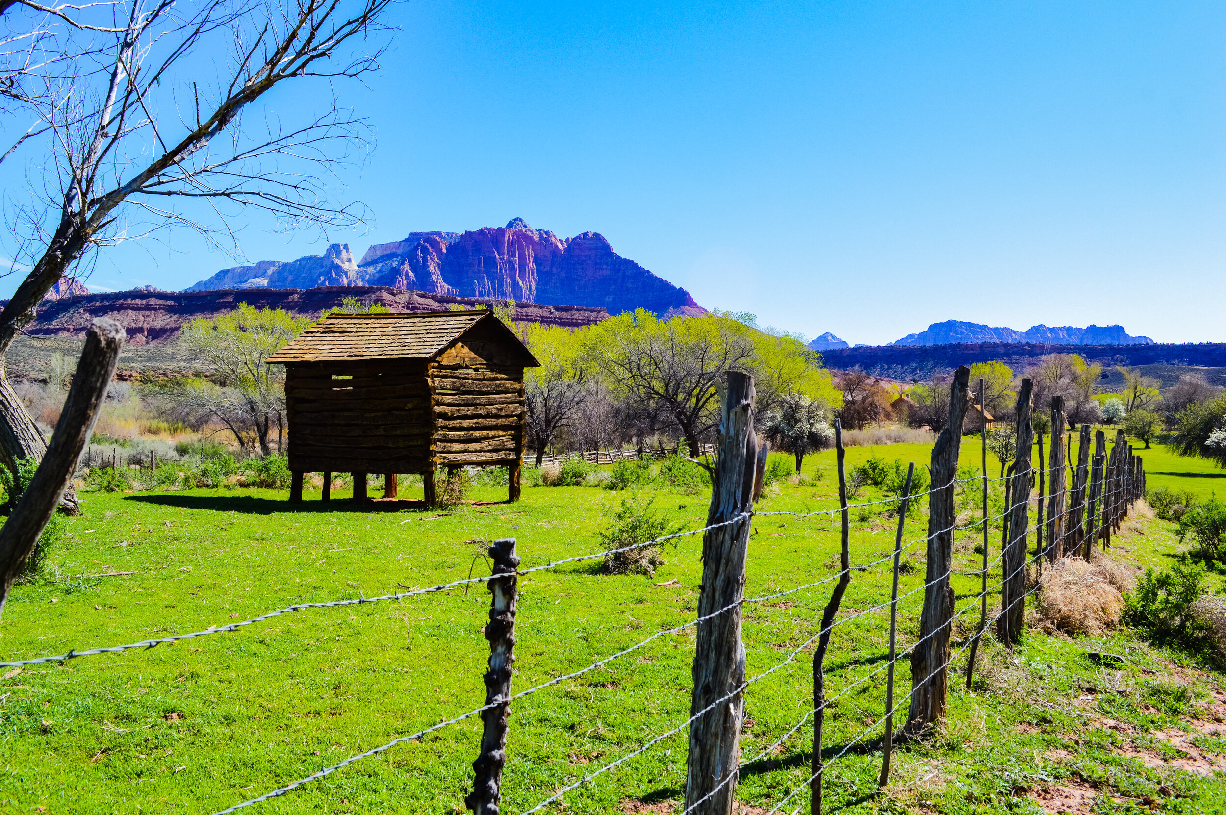
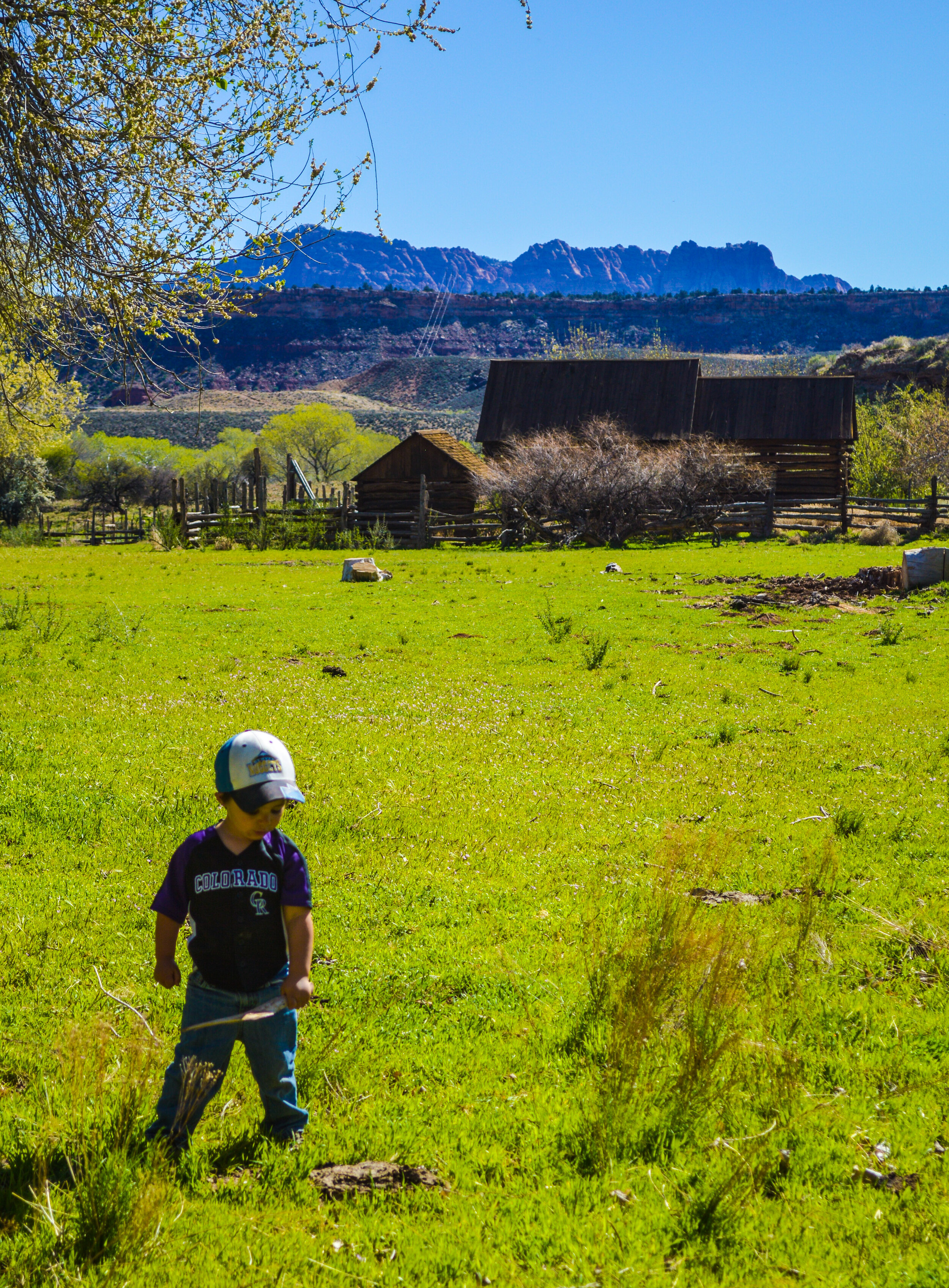
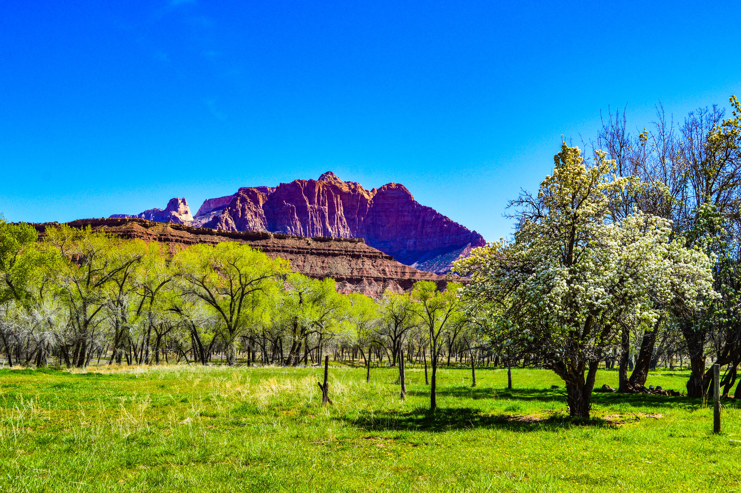
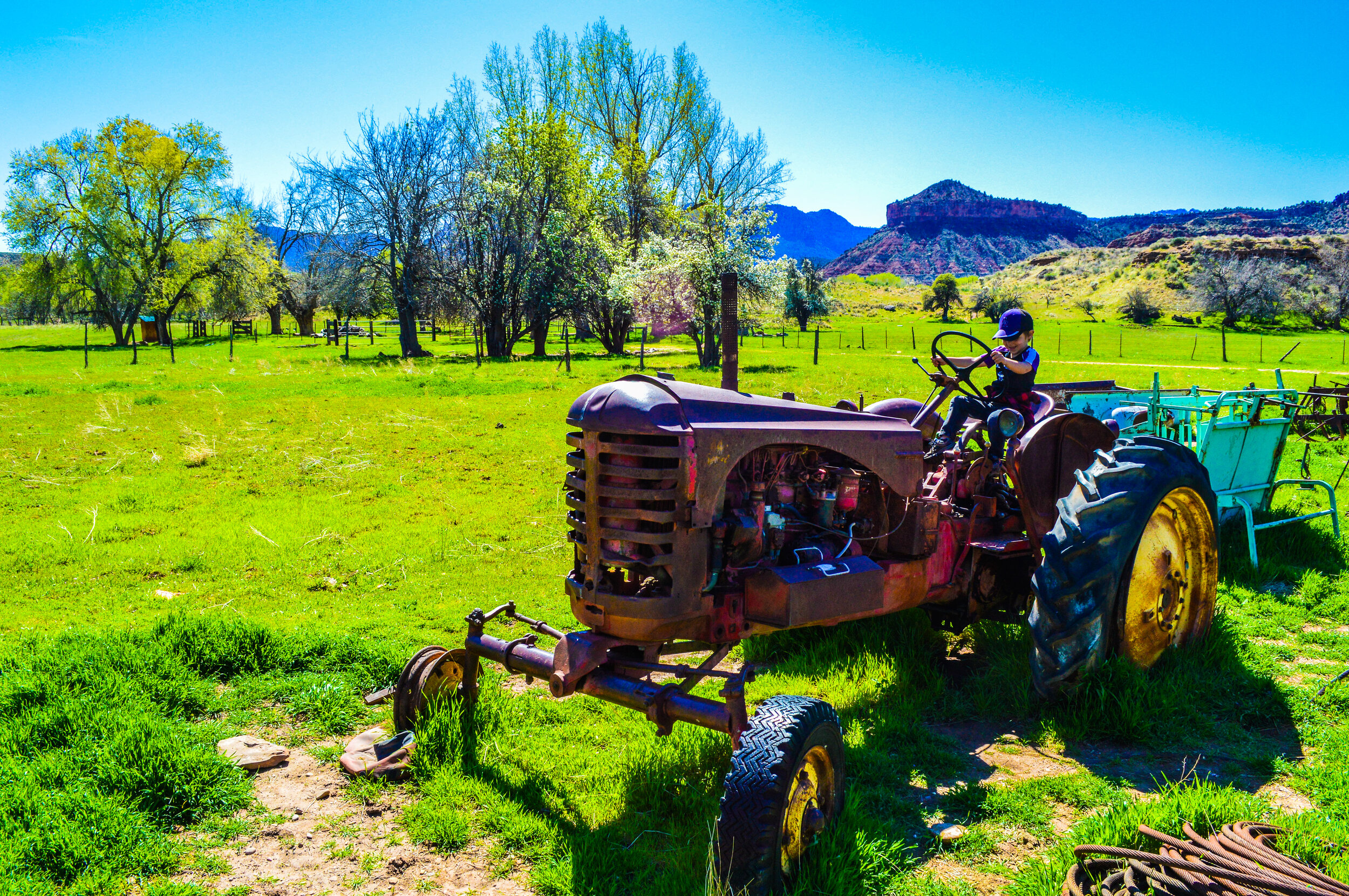
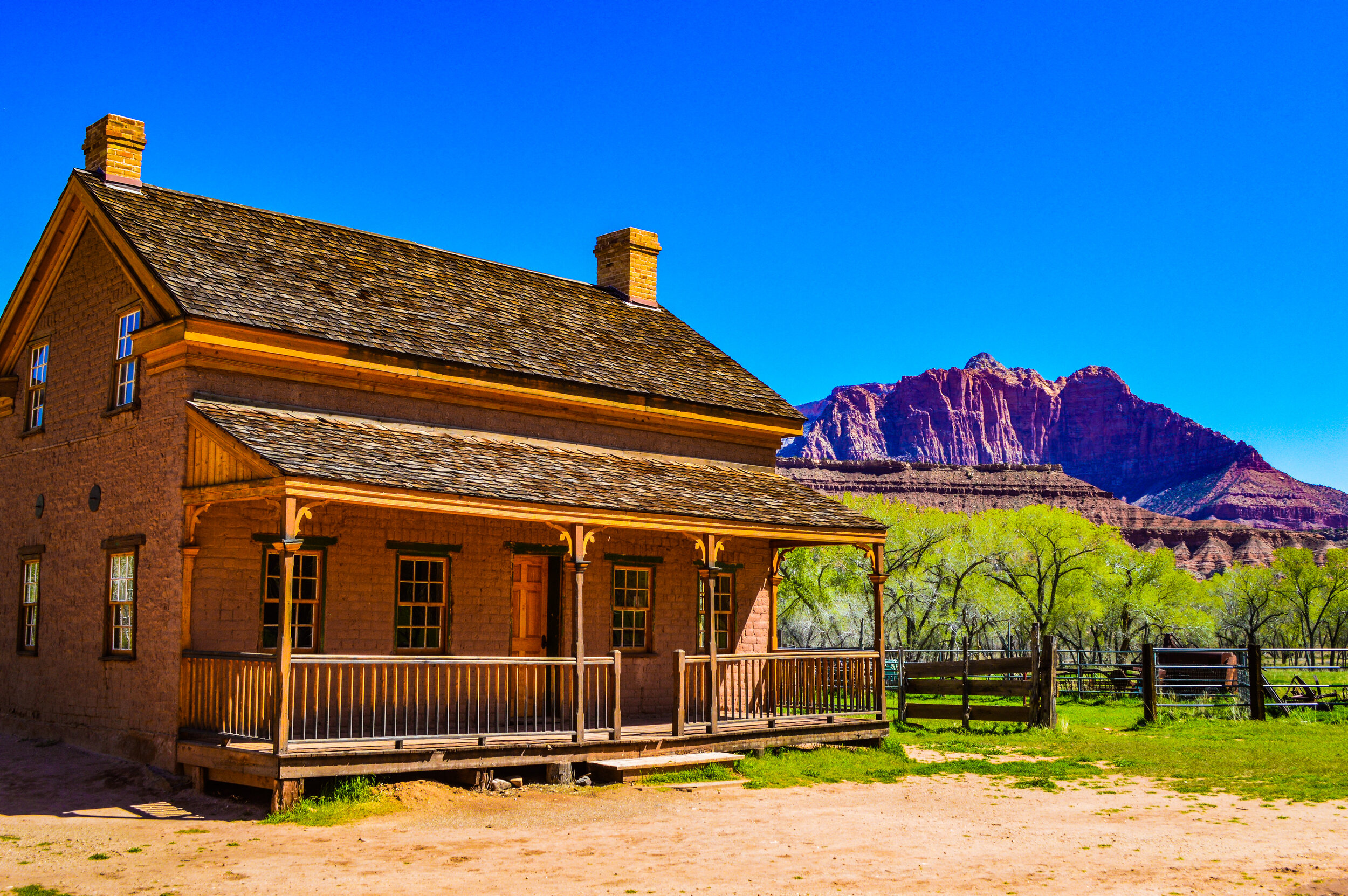
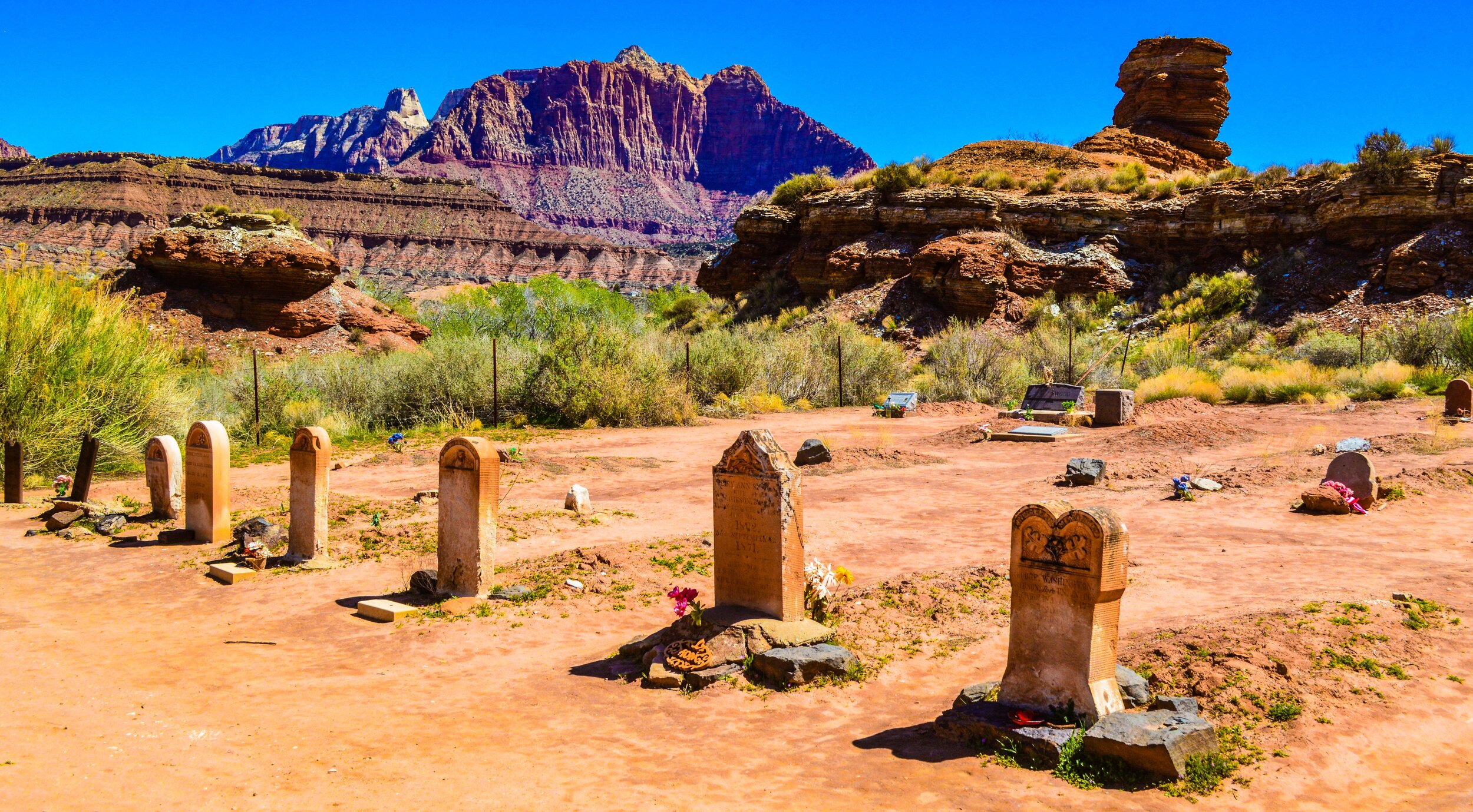
One of our favorite adventures included a trip to Grafton Ghost Town, just south of the Zion NP boundary. Established in 1895 by Mormon settlers, the last inhabitants left in 1944 due to repeated flooding, attacks by native peoples, and the rather harsh winters. From our springtime perspective, this section of the Virgin Valley seemed like paradise – intense greens from budding trees set against the clear blue sky, with the cliffs of Zion dividing the horizon. The bees were buzzing, the flowers were blooming, we were isolated from people, and our kids were absolutely loving the opportunity to play with old farming equipment and explore the 5 partly restored buildings that are open to the public.
Bryce Canyon
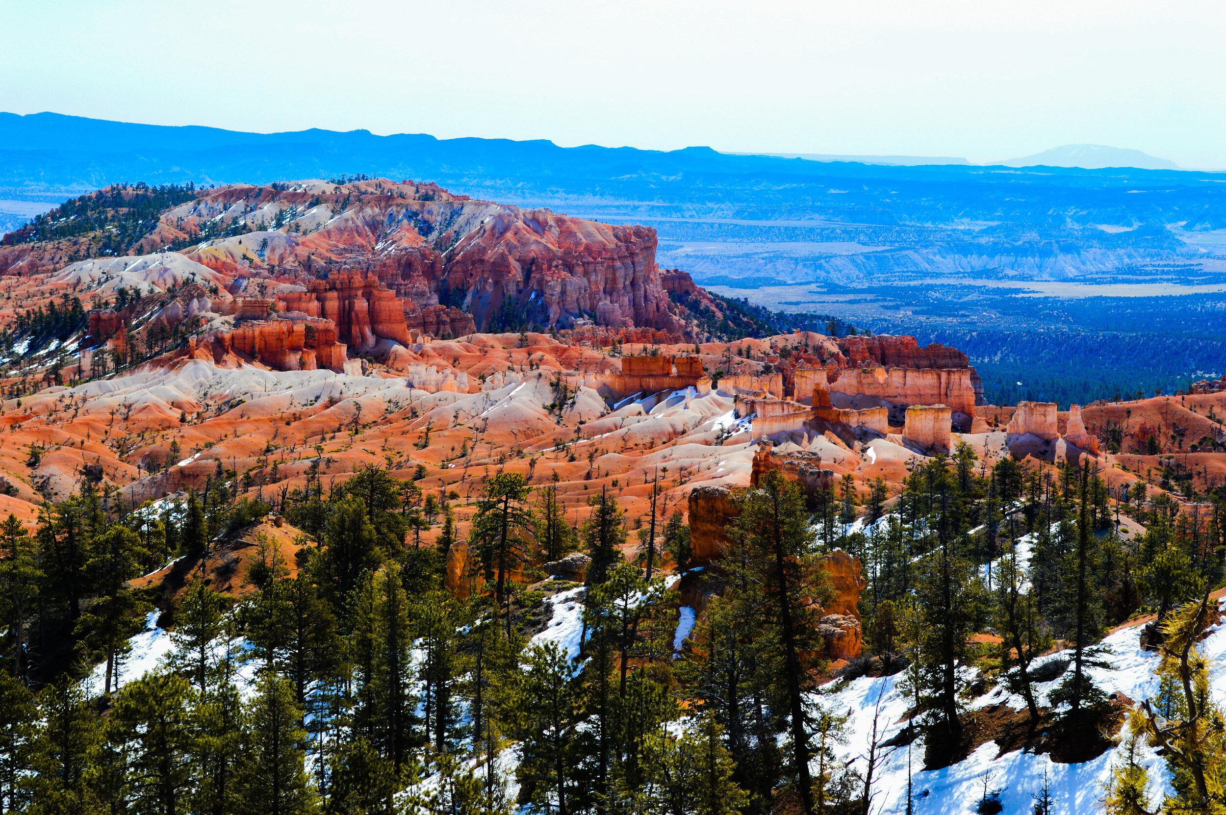
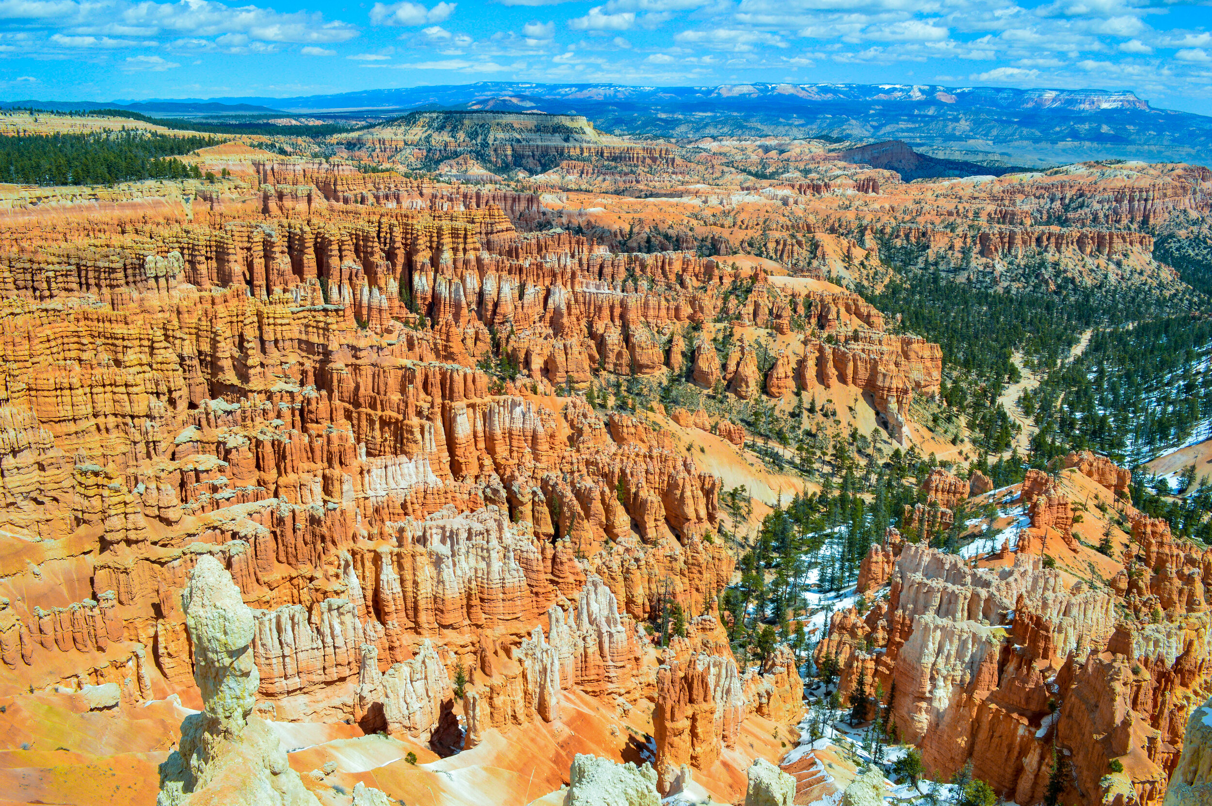
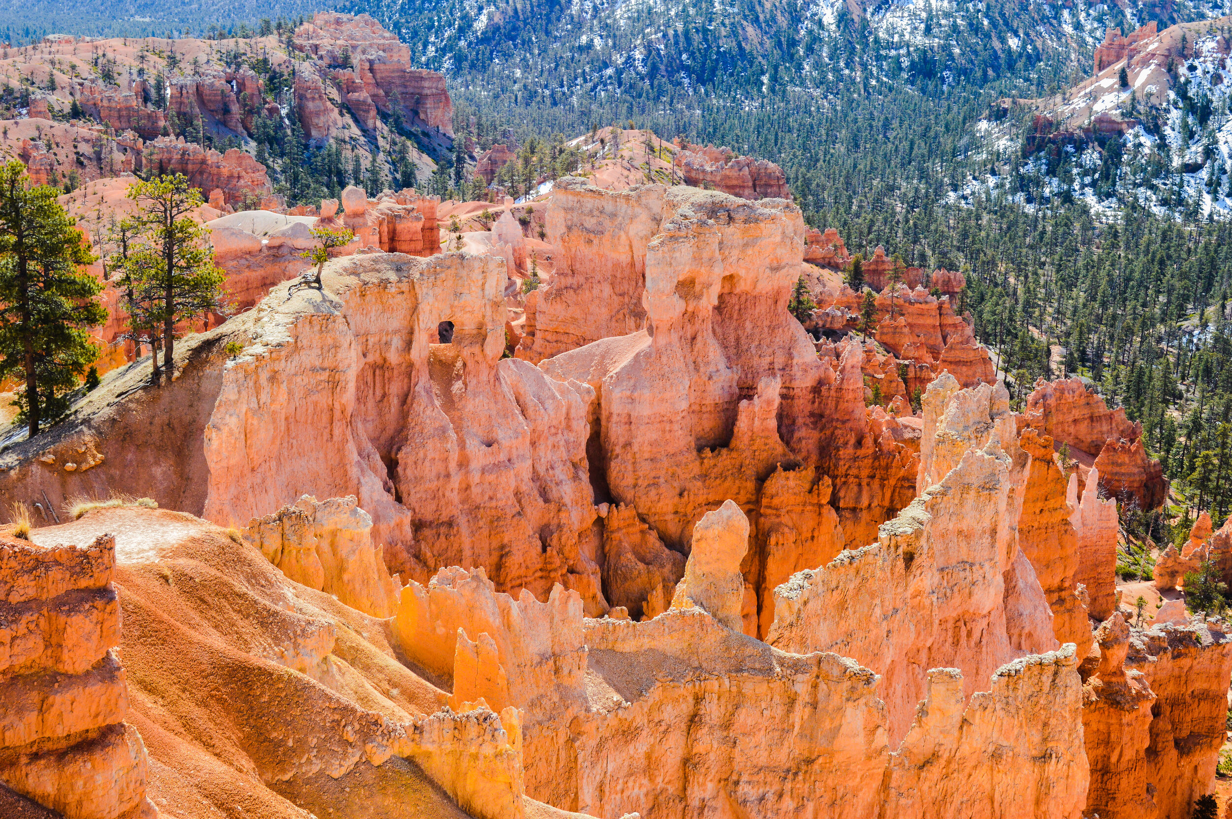
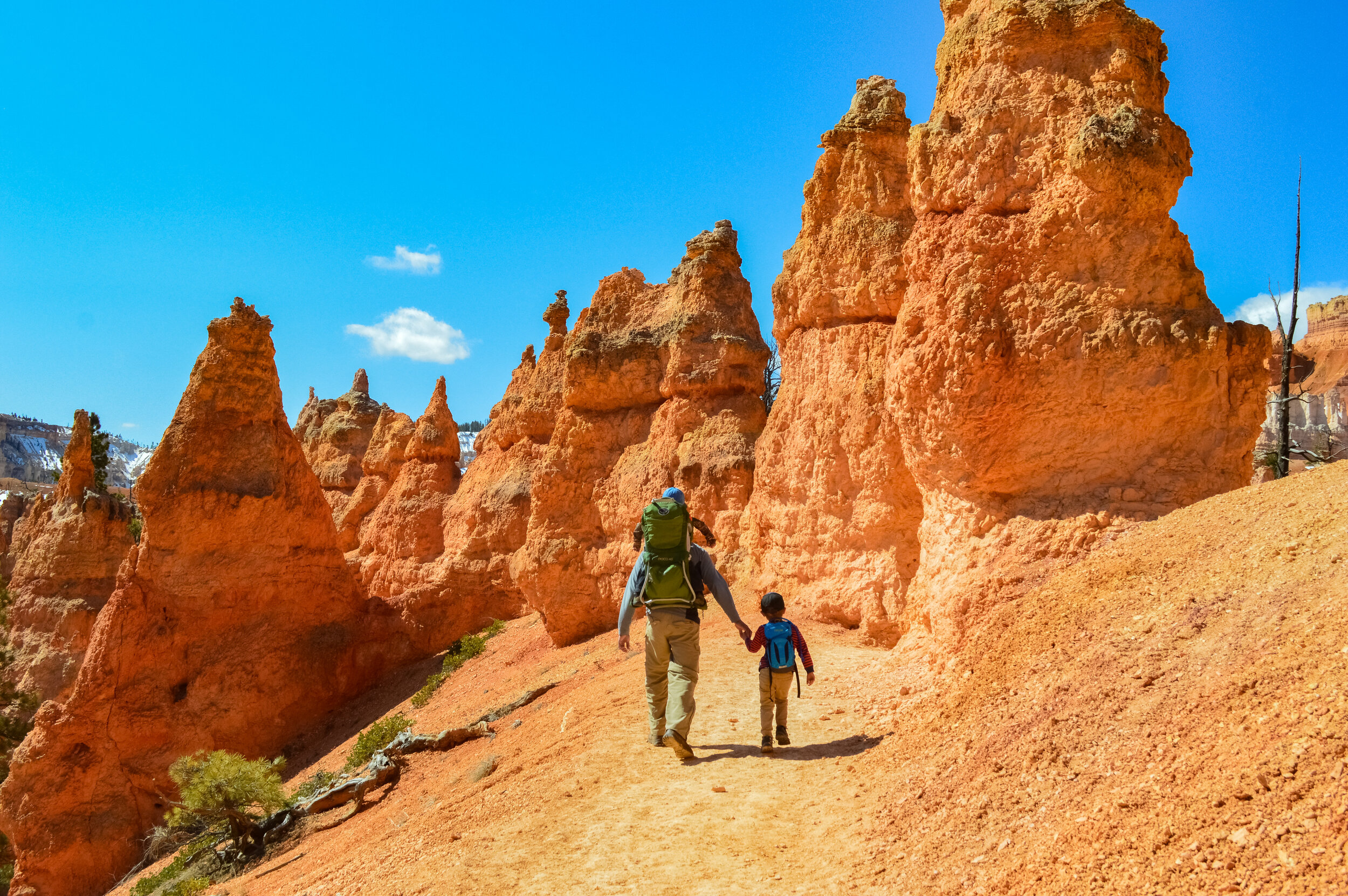
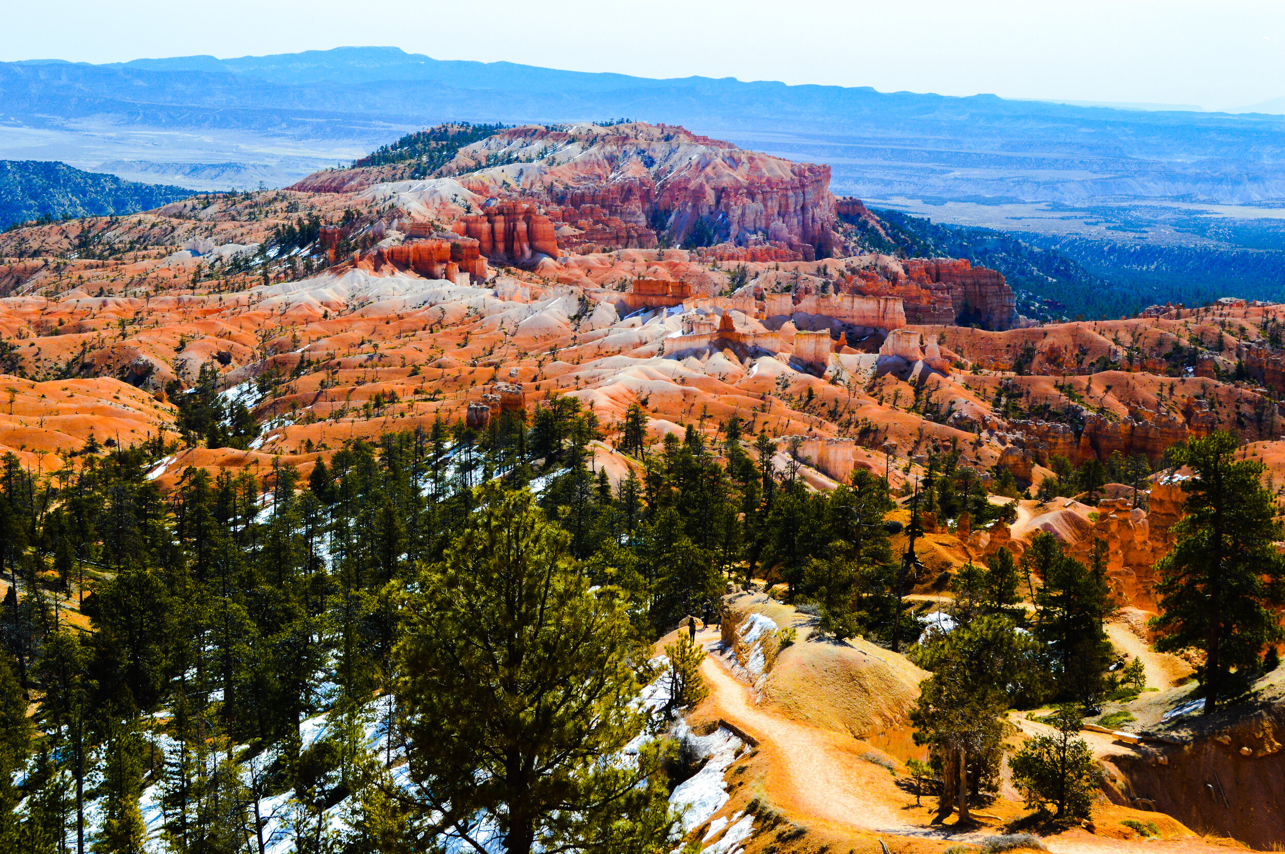
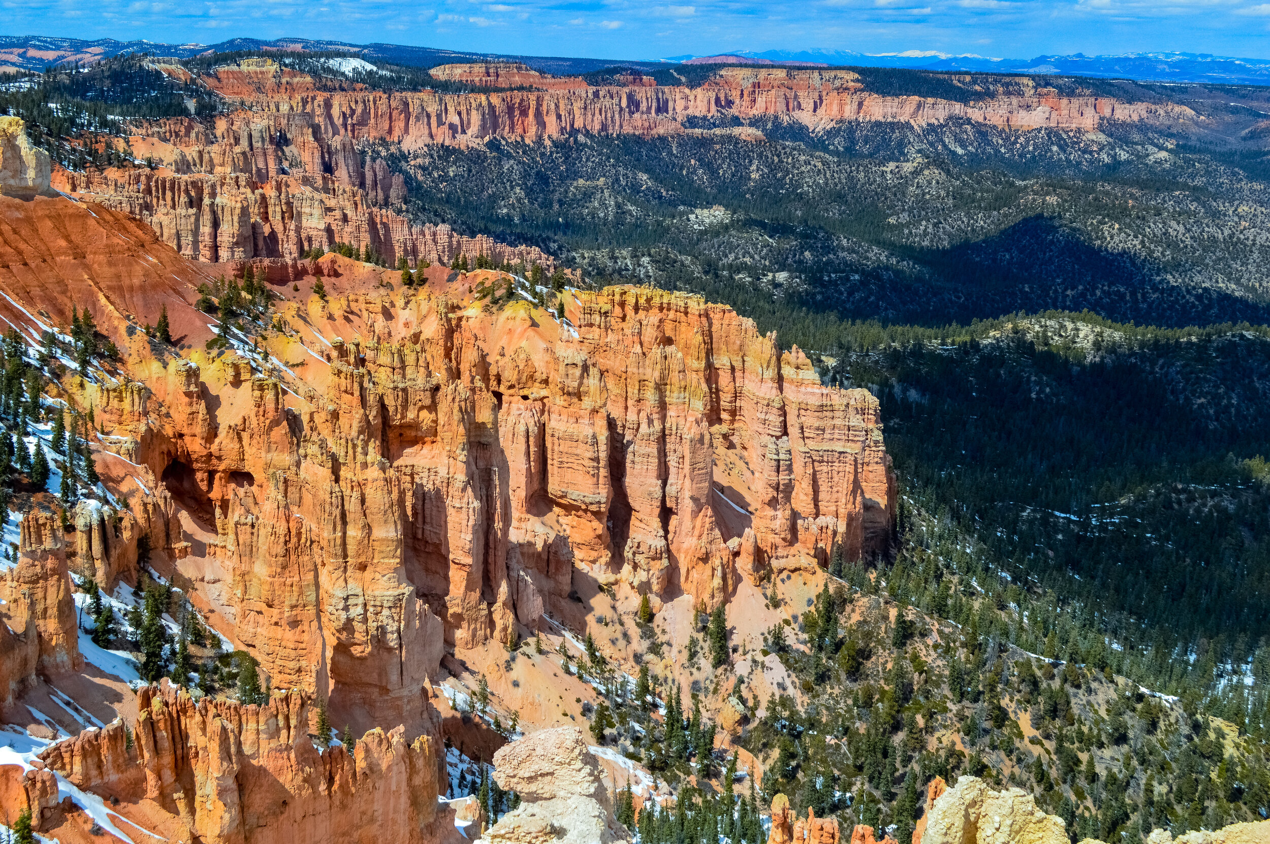
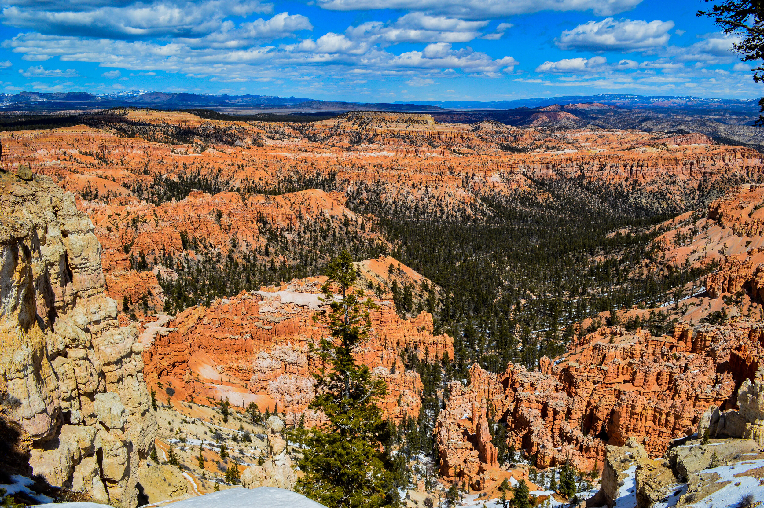
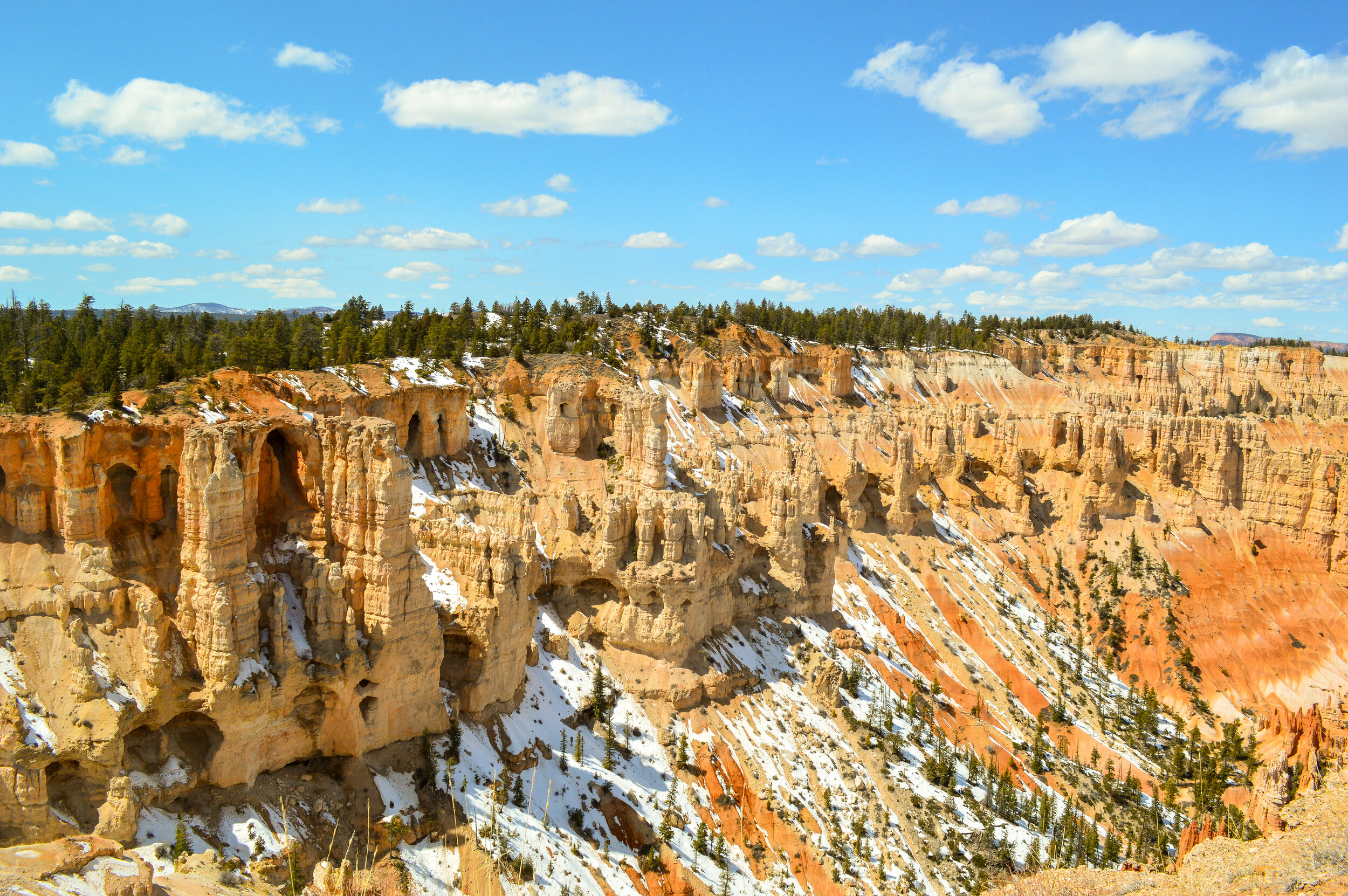
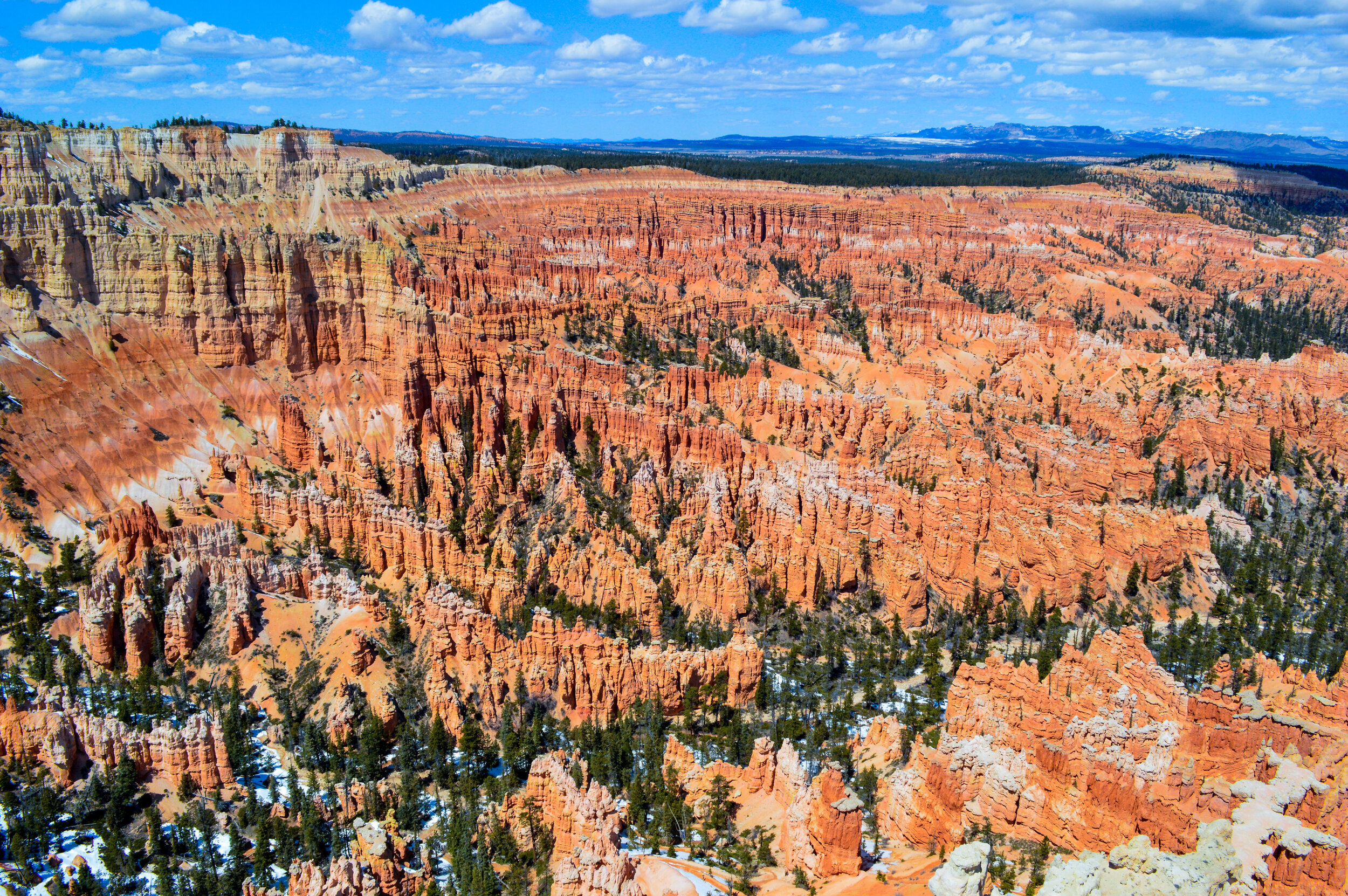
Bryce National Park sits at the top of the Grand Staircase and is known for the world’s largest concentration of colorful hoodoos, many of which dwarf any similar earth pillars. This series of natural horseshoe-shaped amphitheaters was carved more than 40 million years ago and are easy to access along the 18-mile service road that spans the park. The park contains only 52 square miles, and receives significantly lower visitor traffic than Zion, which was much appreciated as we were able to explore as a family in relative isolation.

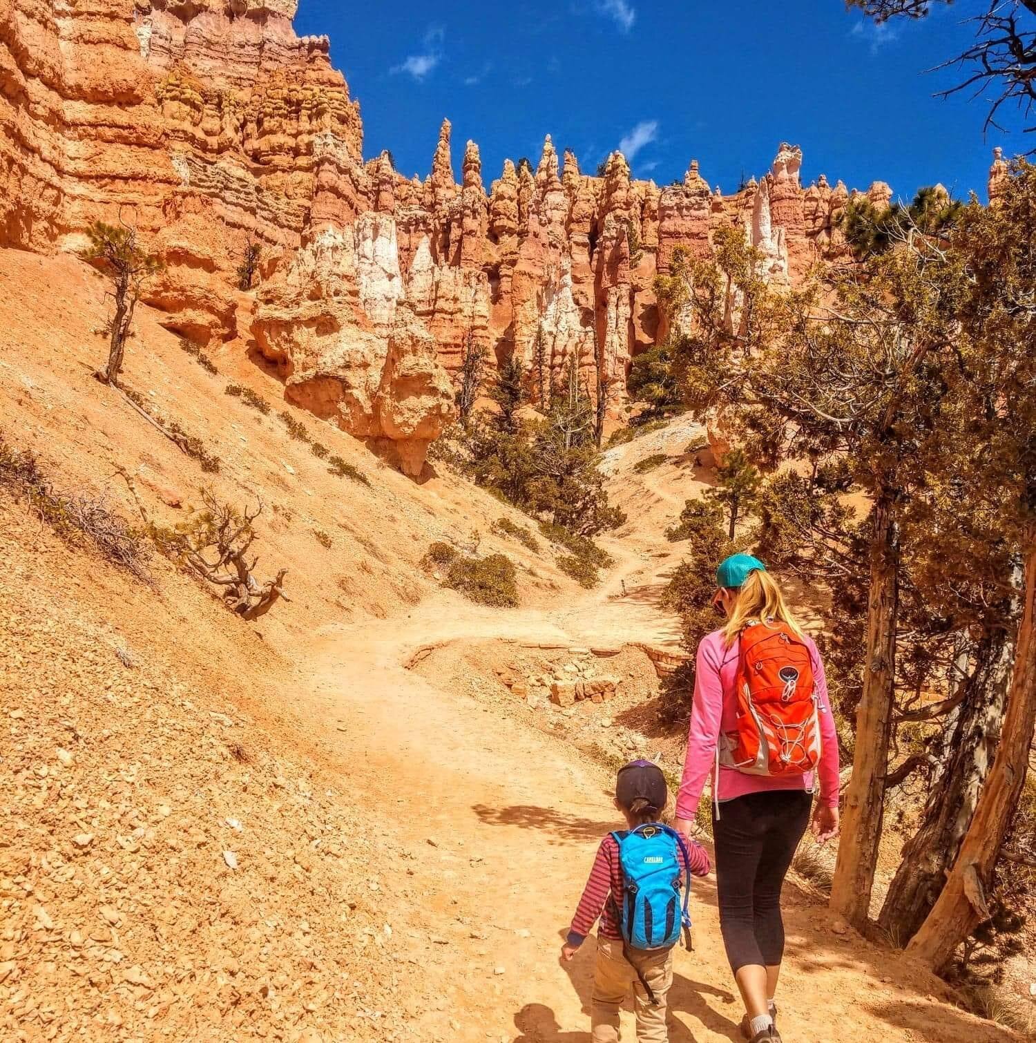
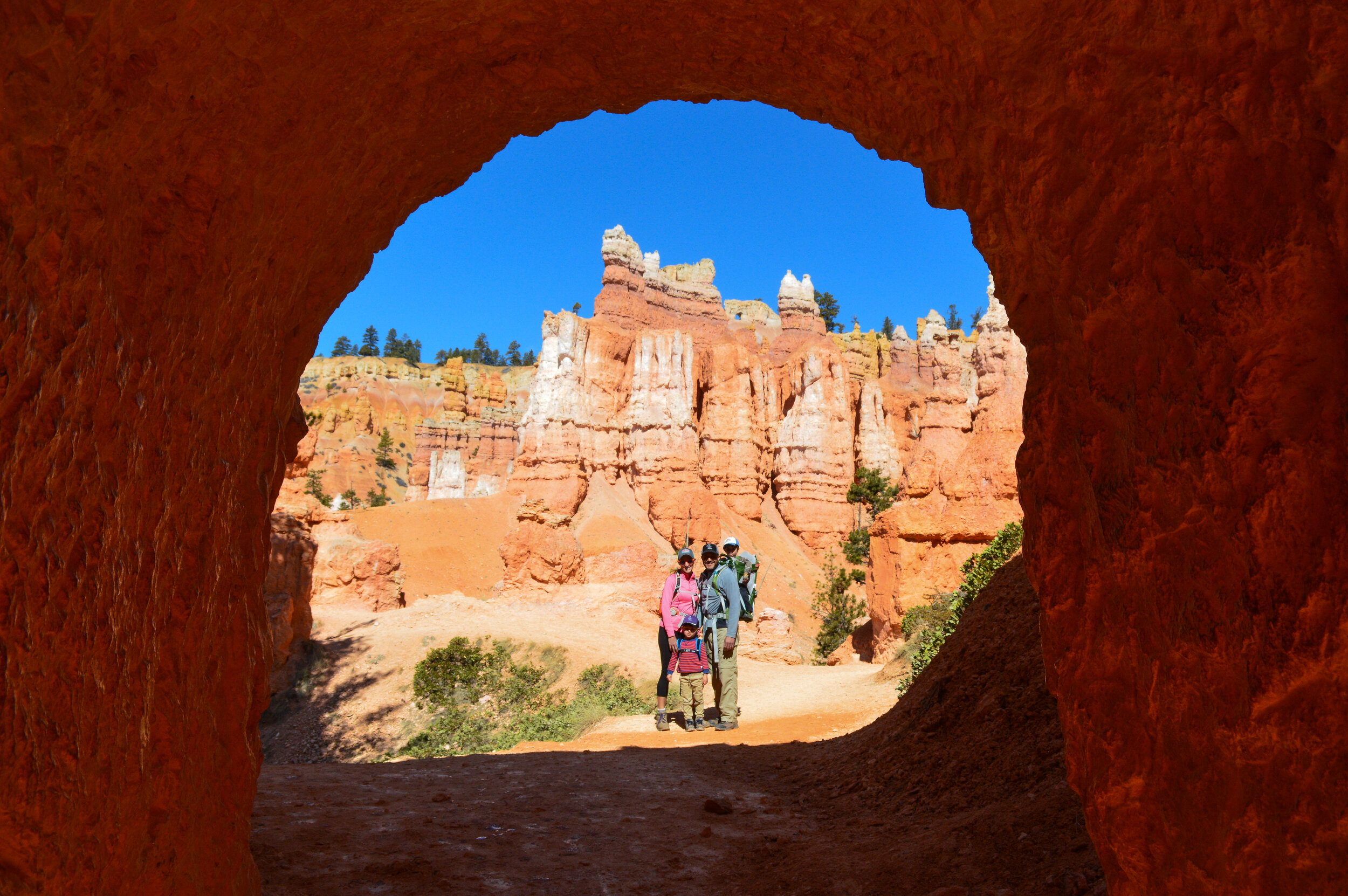
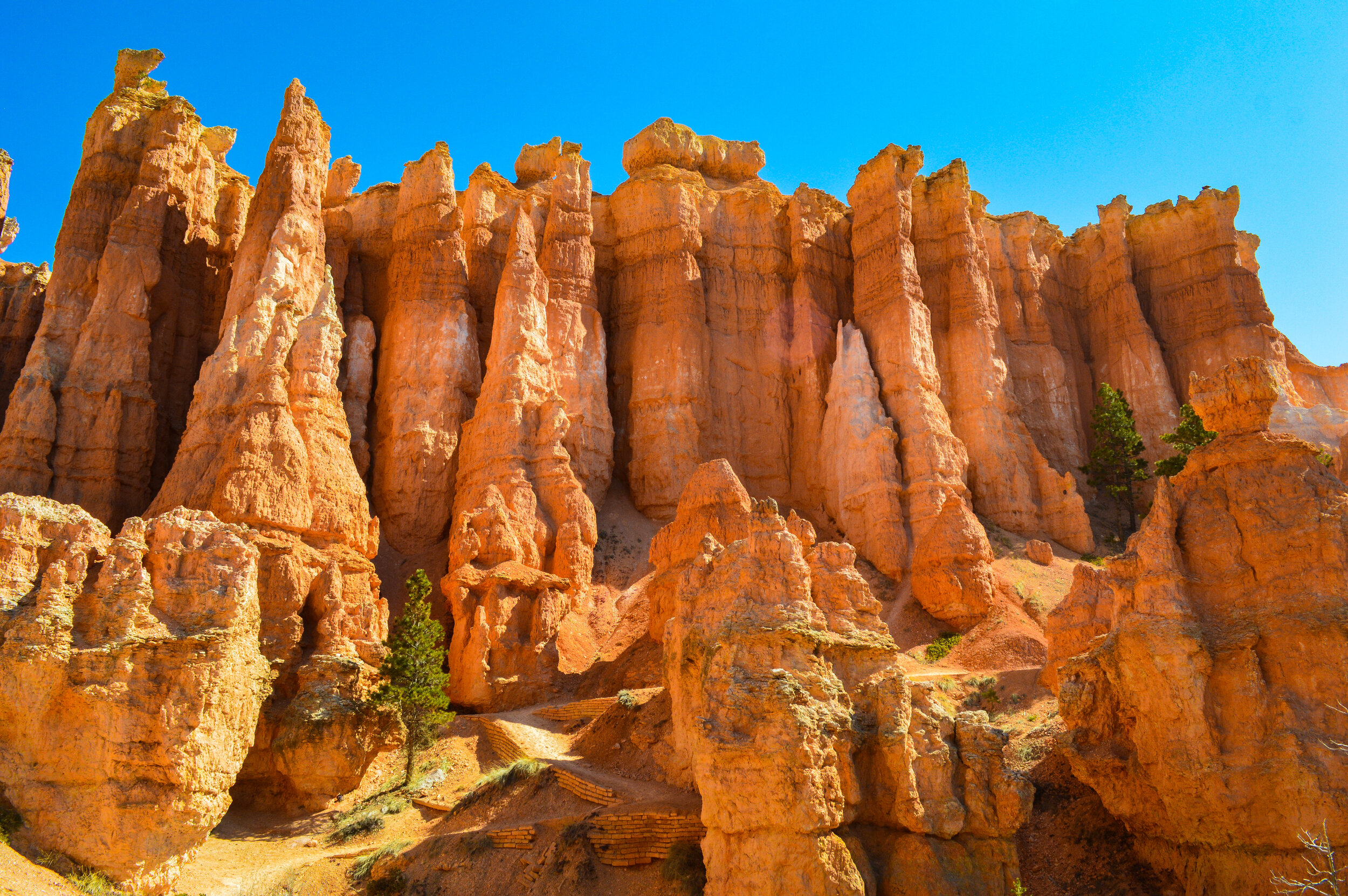
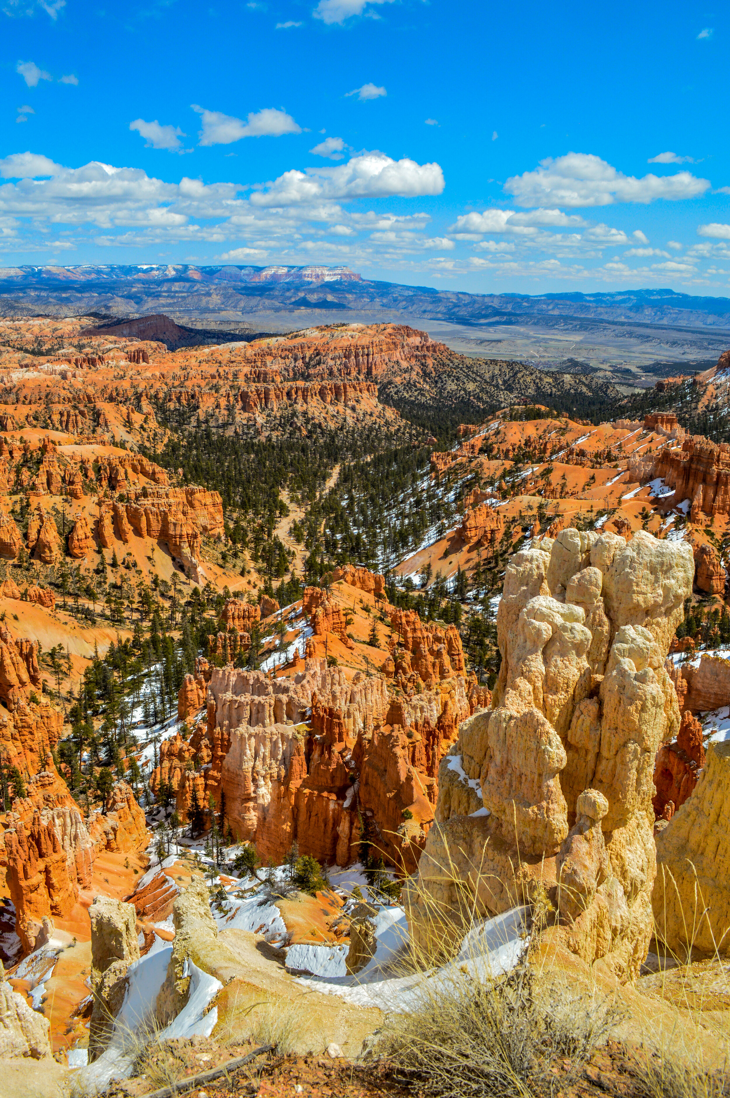
The crown jewel of the park is the Queens Garden Hike, which we combined with the Navajo Loop to hike into the canyon and get up close and personal with the hoodoos. The Paiute people, who lived in the area of Bryce Amphitheater for centuries, believed that the hoodoos existed as living beings in a time before humans. As a surviving elder told park rangers:
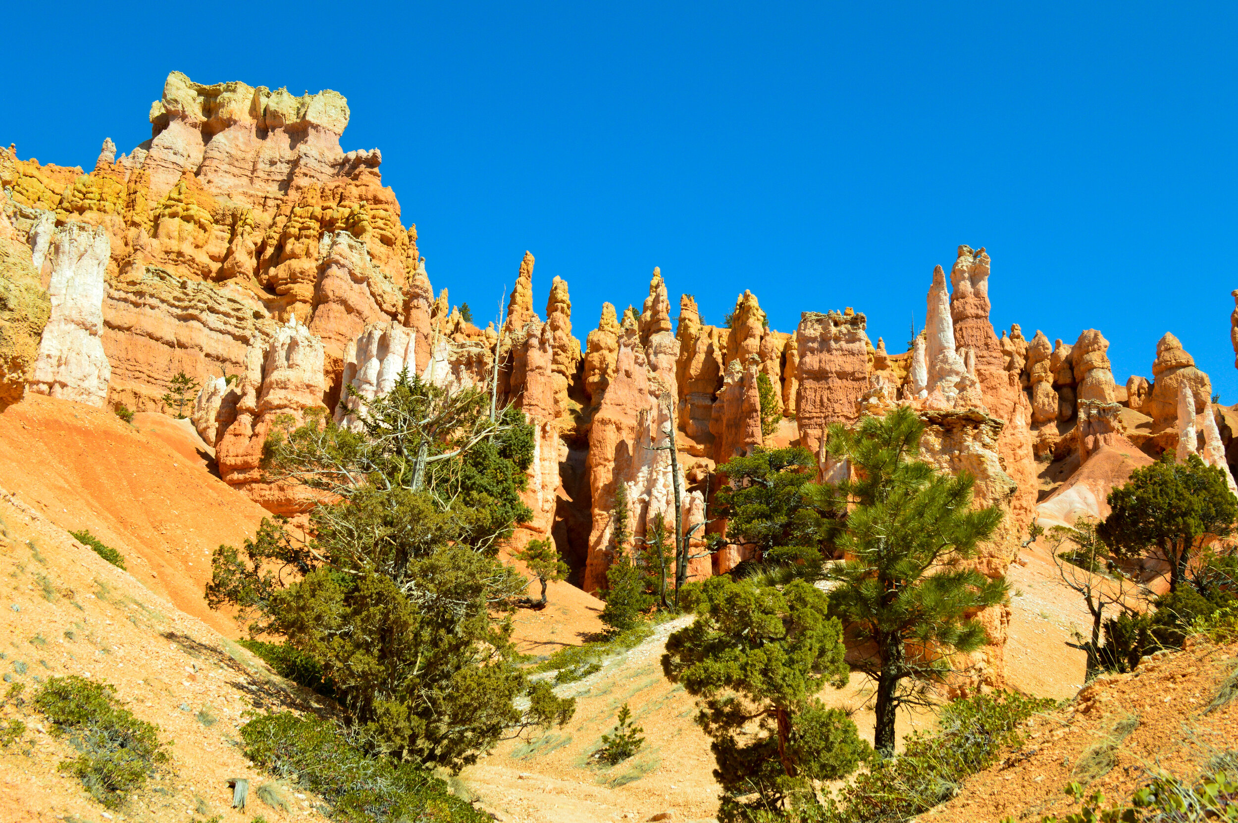
“Before there were any Indians, the Legend People, To-when-an-ung-wa, lived in that place. There were many of them. They were of many kinds—birds, animals, lizards, and such things—but they looked like people. They were not people; they had power to make themselves look that way. For some reason the Legend People in that place were bad; they did something that was not good, perhaps a fight, perhaps some stole something .... the tale is not clear at this point. Because they were bad, Coyote turned them all into rocks. You can see them in that place now, all turned into rocks; some standing in rows, some sitting down, some holding onto others. You can see their faces, with paint on them just as they were before they became rocks. The name of that place is Angka-ku-wass-a-wits (translated to “red painted faces”). This is the story the people tell.”
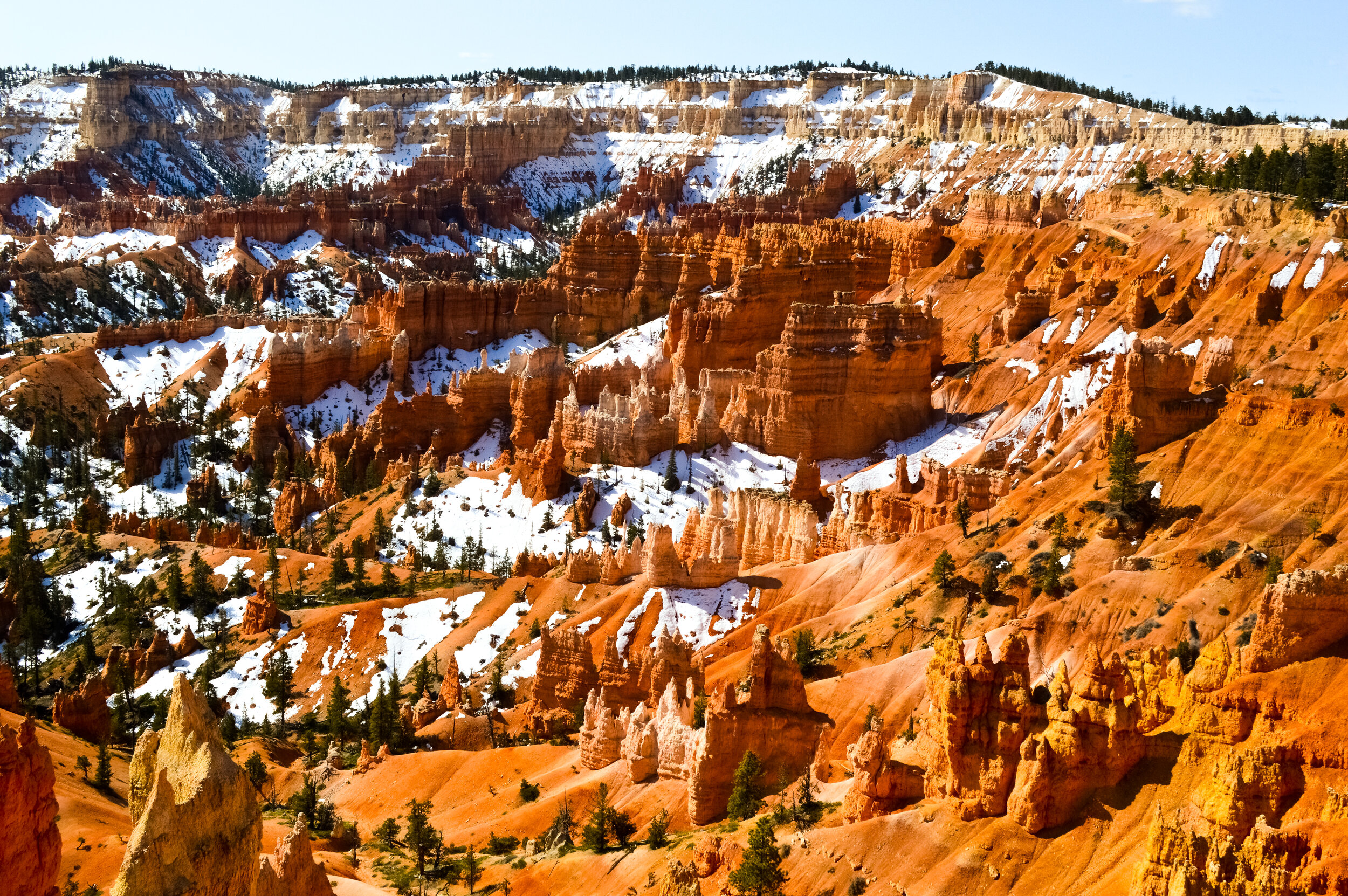
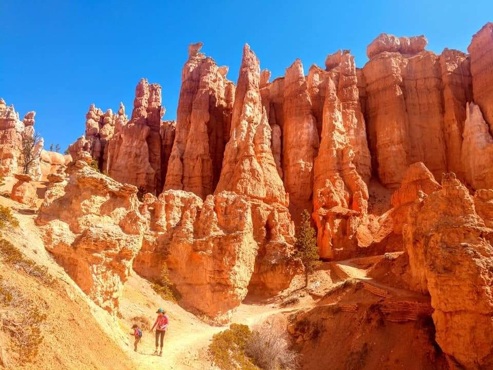
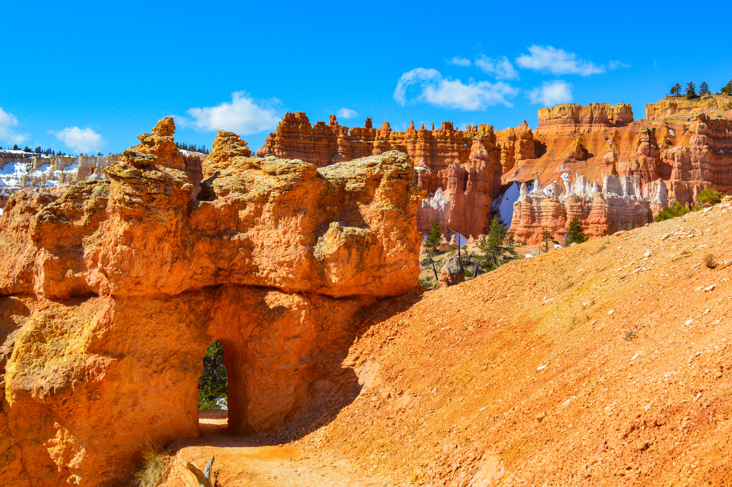
Indeed, these spindly hoodoos seem to almost adorn stone helmets, making the resemblance to petrified humans easy to see. From one of the many viewpoints along the rim, the reddish and purple pastel cliffs offer a contrast to the windows, walls and arches of Queens Garden and Bryce Amphitheater – it seems almost other-worldly in person. If I were to see pictures without the context of this being Bryce NP, it’s easy to confuse with images of Mars! While a recent snow blocked longer hikes along the “pygmy” forested rim, our family loved taking the scenic drive thru the park, picnicking at Rainbow Point, and hiking thru the reds, yellows, and whites of these ever-changing rock sculptures.


Shortly after our family day, Bryce NP closed down followed closely by a nation-wide shutdown of national parks. Many of our upcoming reservations had been auto-cancelled and we were suddenly without a plan or direction. We still had several weeks planned in the small town we were staying at, and our focus now became enjoying the area around us while we figured out what was next.
This trip has been a continual exercise in practicing flexibility and being able to pivot when the plans change. But after all, “the best laid plans of mice and men often go awry," do they not?


