Capital Reef and Goblin Valley

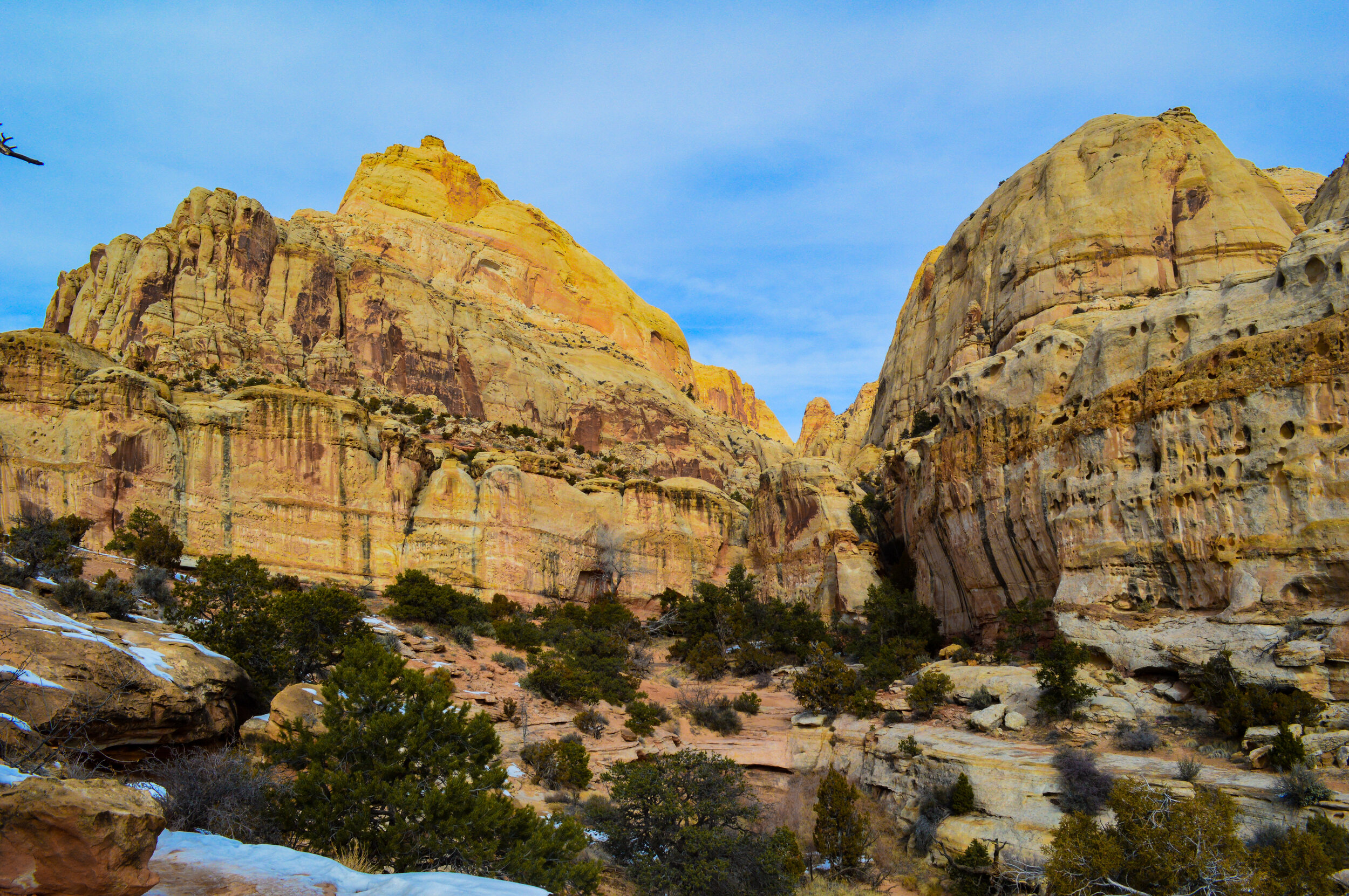
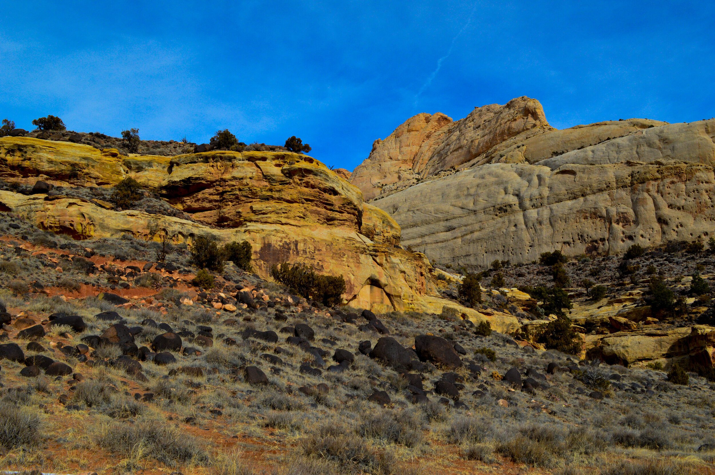
Our family made the 2.5 hour drive out to Capital Reef NP for a short overnight stay to see this colorful mishmash of zigzagging canyons. While it seems that most of the national parks in Utah have been defined by their topography, Capital Reef is truly defined by its geology. Striking shale layers within the vibrantly toned red and white sandstone cliffs define Capitol Reef’s walls, and the white dome formations in Navajo sandstone inspired the park’s name. This 70-mile-long, 10-mile-wide park provides a variety of activities, but our family found a few short hikes and several short 4wd roads the best way to experience the area with the time we had.

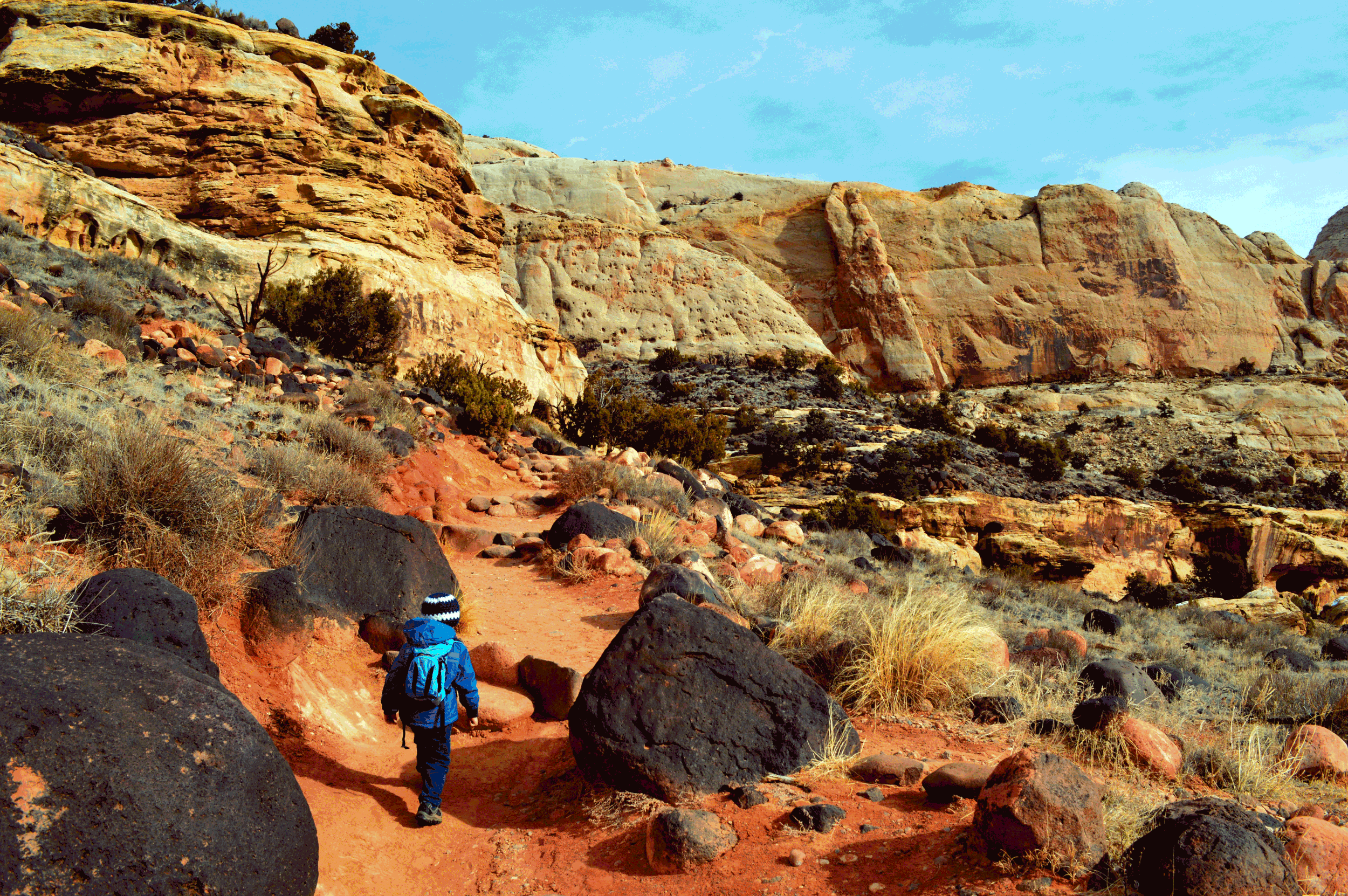
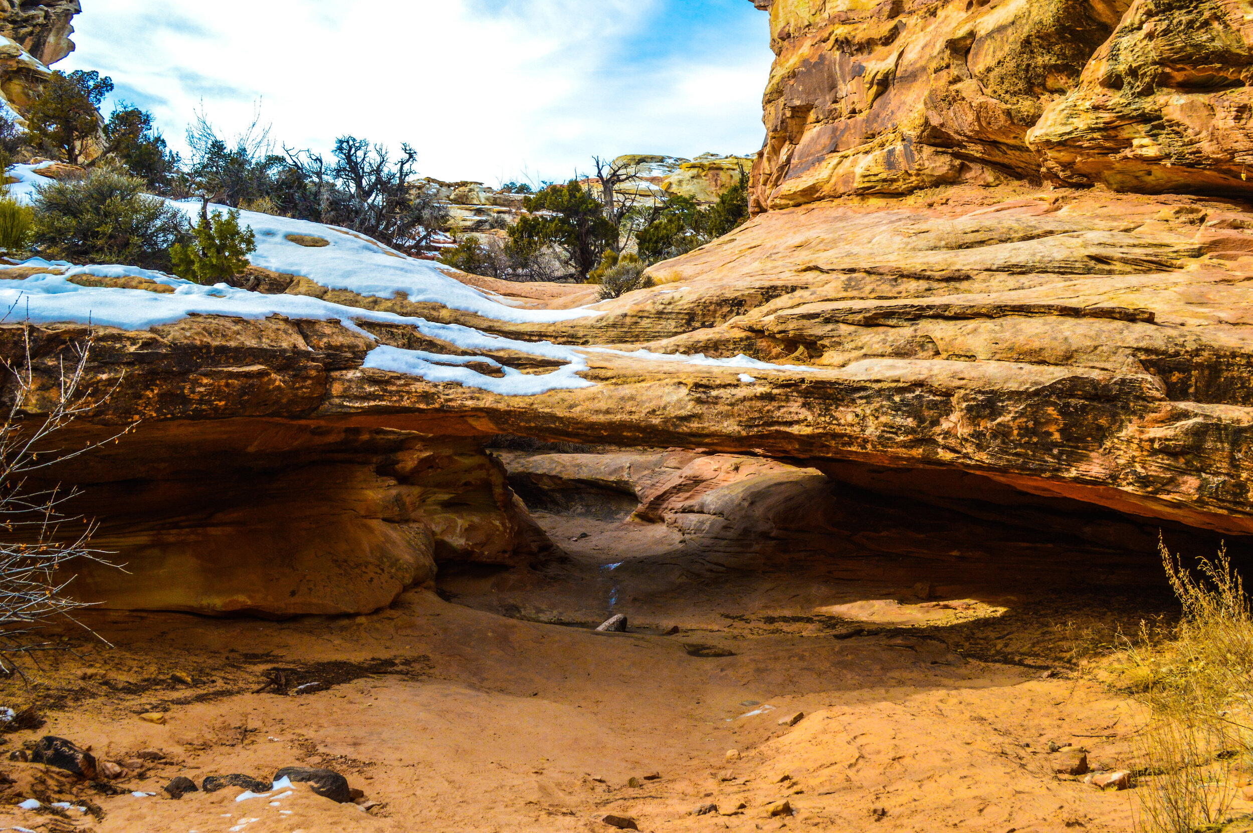
The hike to Hickman Bridge is certainly one of the more popular hikes in the park, and the 400 ft of elevation gain was a great climb for our kiddos. The trail is littered with dark volcanic basalt boulders that stand out against the layer cake appearance of the cliffs, and were fun to climb over and around as we made our way to the natural bridge. About halfway into the hike, there is a smaller natural bridge – Nels Johnson Natural Bridge. The kids almost preferred this bridge as they could climb under/over it. This bridge was named after one of the earliest homesteaders of Fruita, which as we found was a pretty important part of this area.

Hickman Natural Bridge
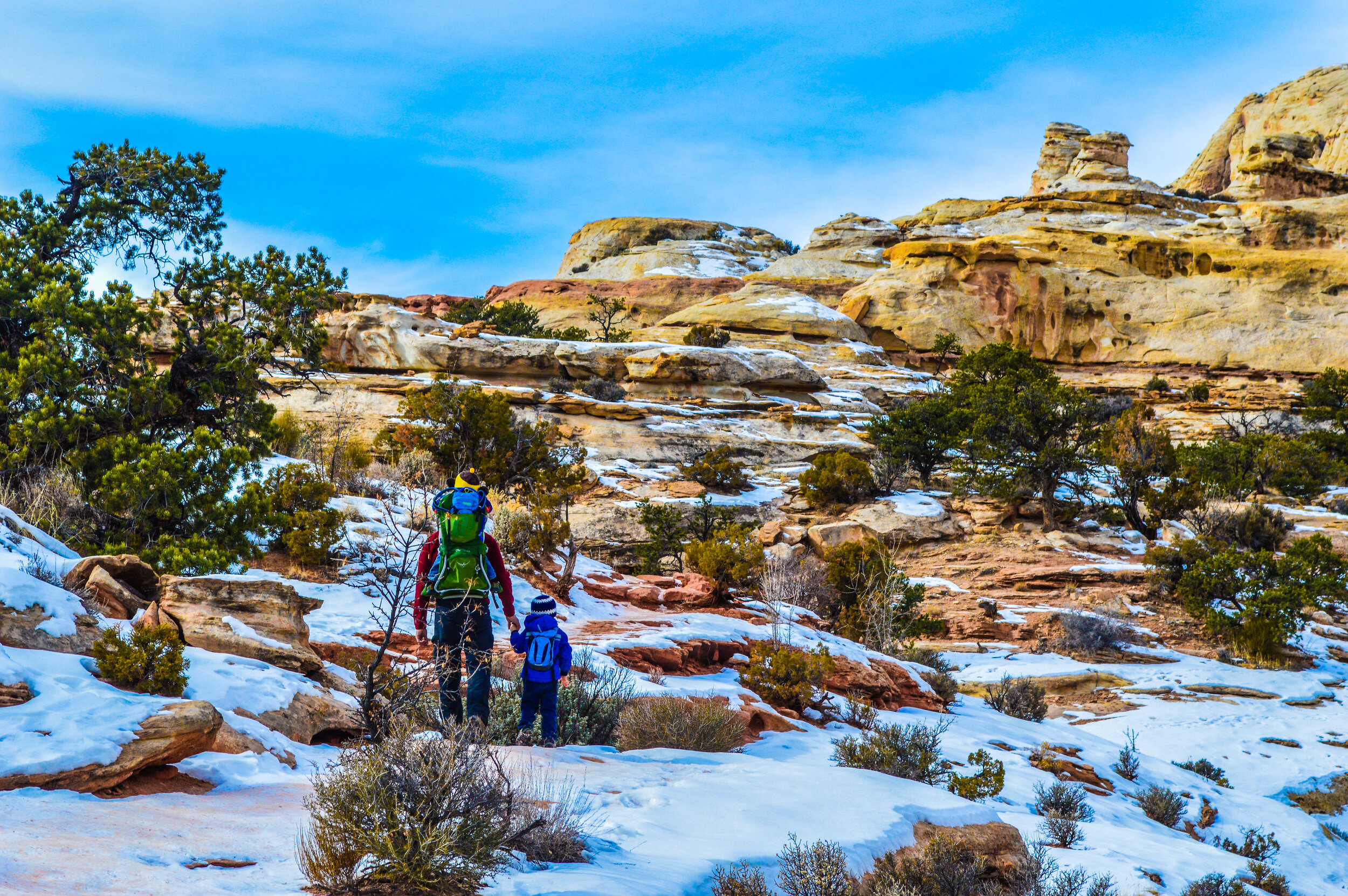
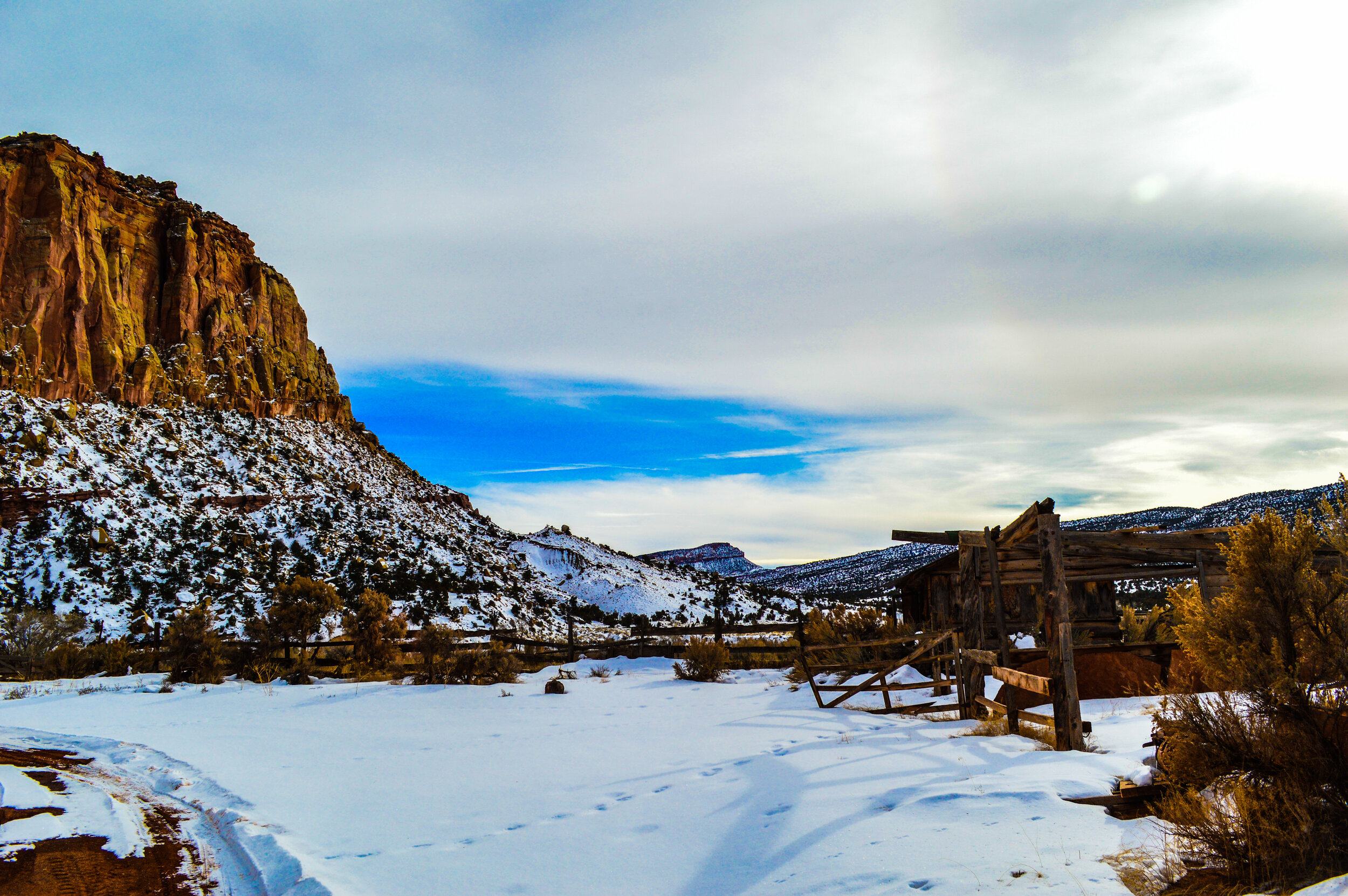
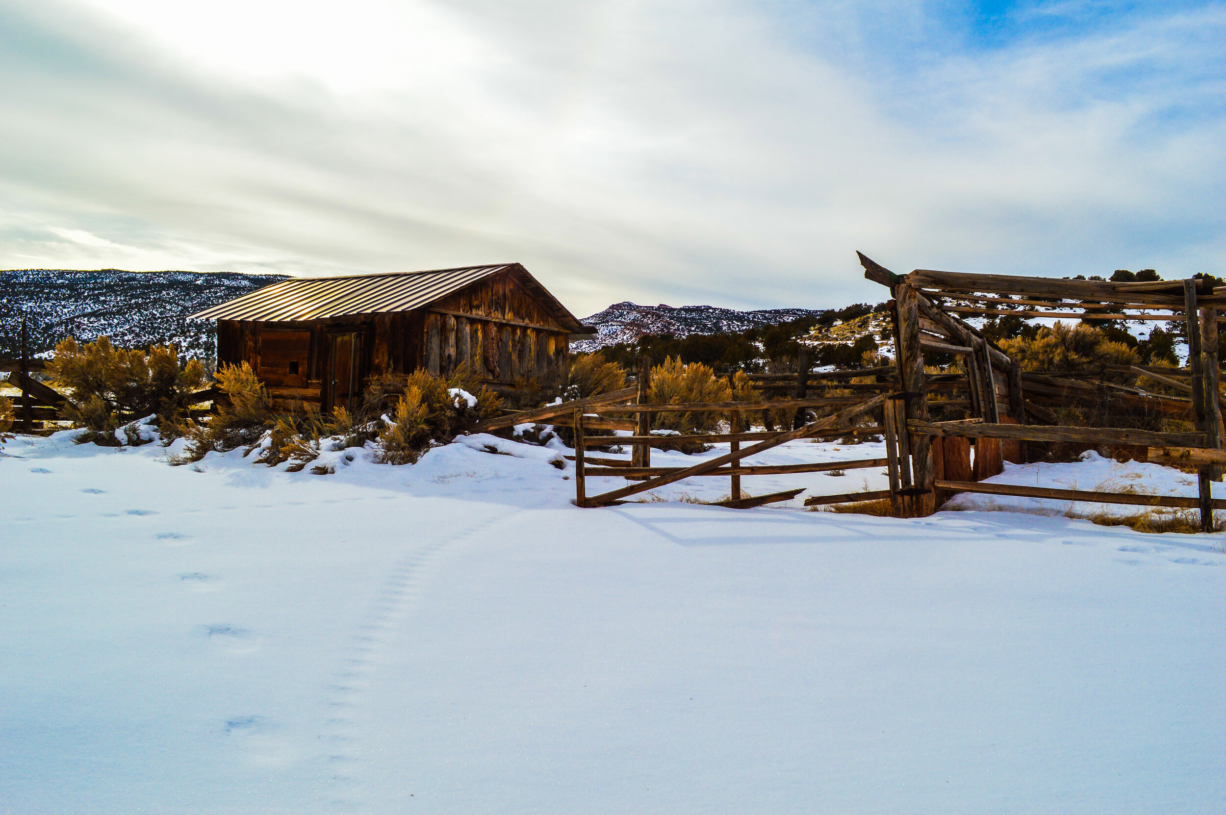
Driving along Hwy 24 thru the park and taking the Scenic Drive route was a fantastic way for our family to see the main geologic feature that defines this park – the Waterpocket Fold, a 100-mile long wrinkle in the Earth’s crust. The Scenic Drive road also passes thru the abandoned town of Fruita, where early homesteaders farmed vegetables and fruit orchards along the junction of the Freemon River and Sulphur Creek. This area was once known as a local Eden, boasting more than 3,000 heirloom trees, many of which are still standing, and over 100 years old. As we drove thru, seeing new-fallen snow cloak the Navajo sandstone dunes, this town appeared as a forgotten ghost town – something quite striking to the dizzyingly steep, sandstone walls.

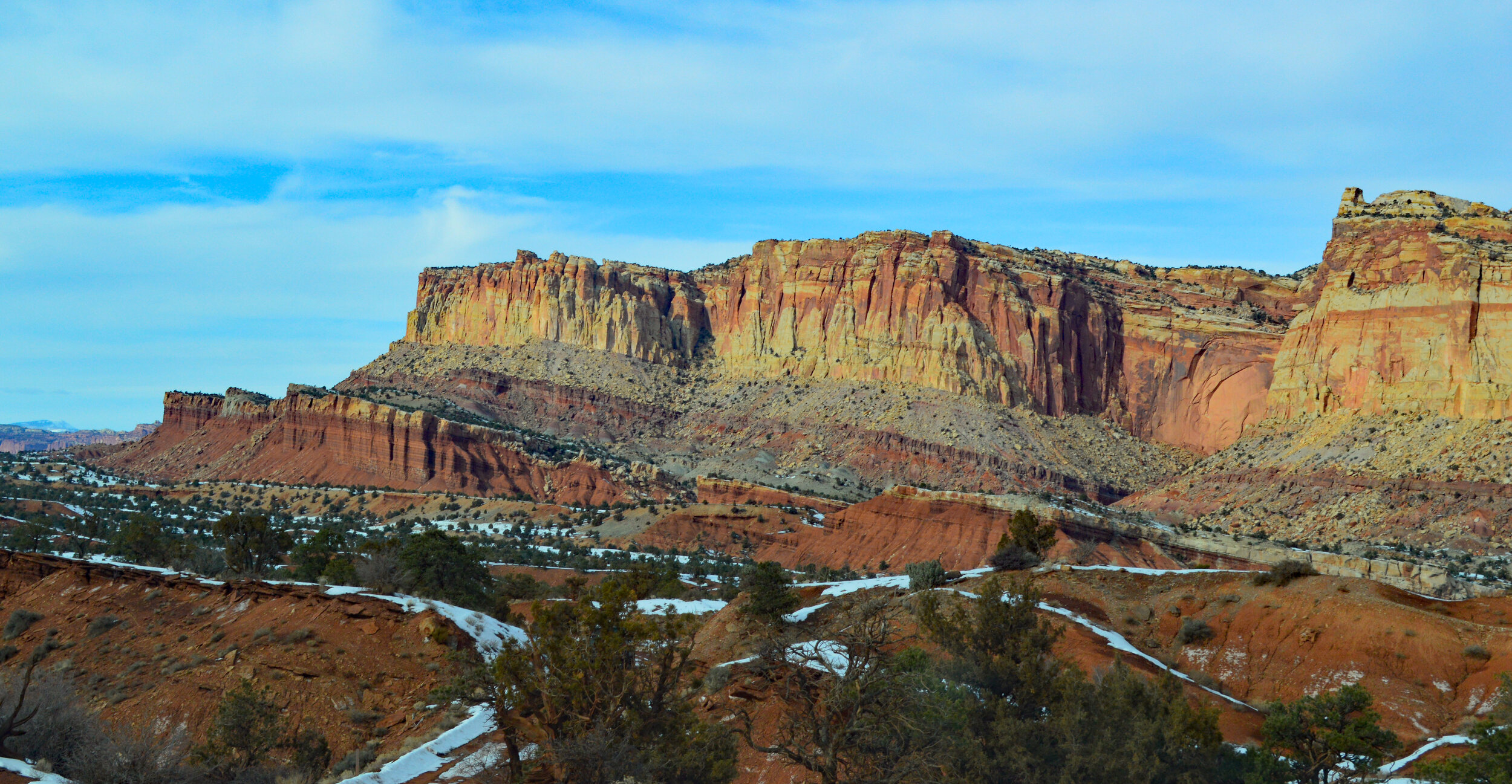
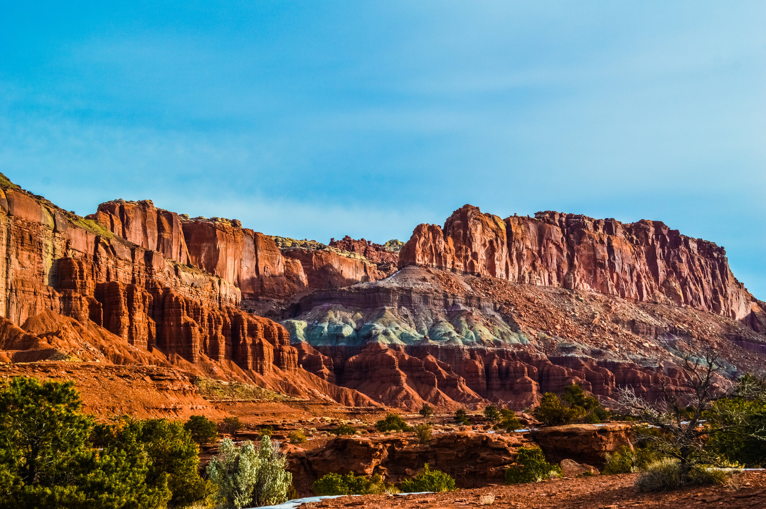
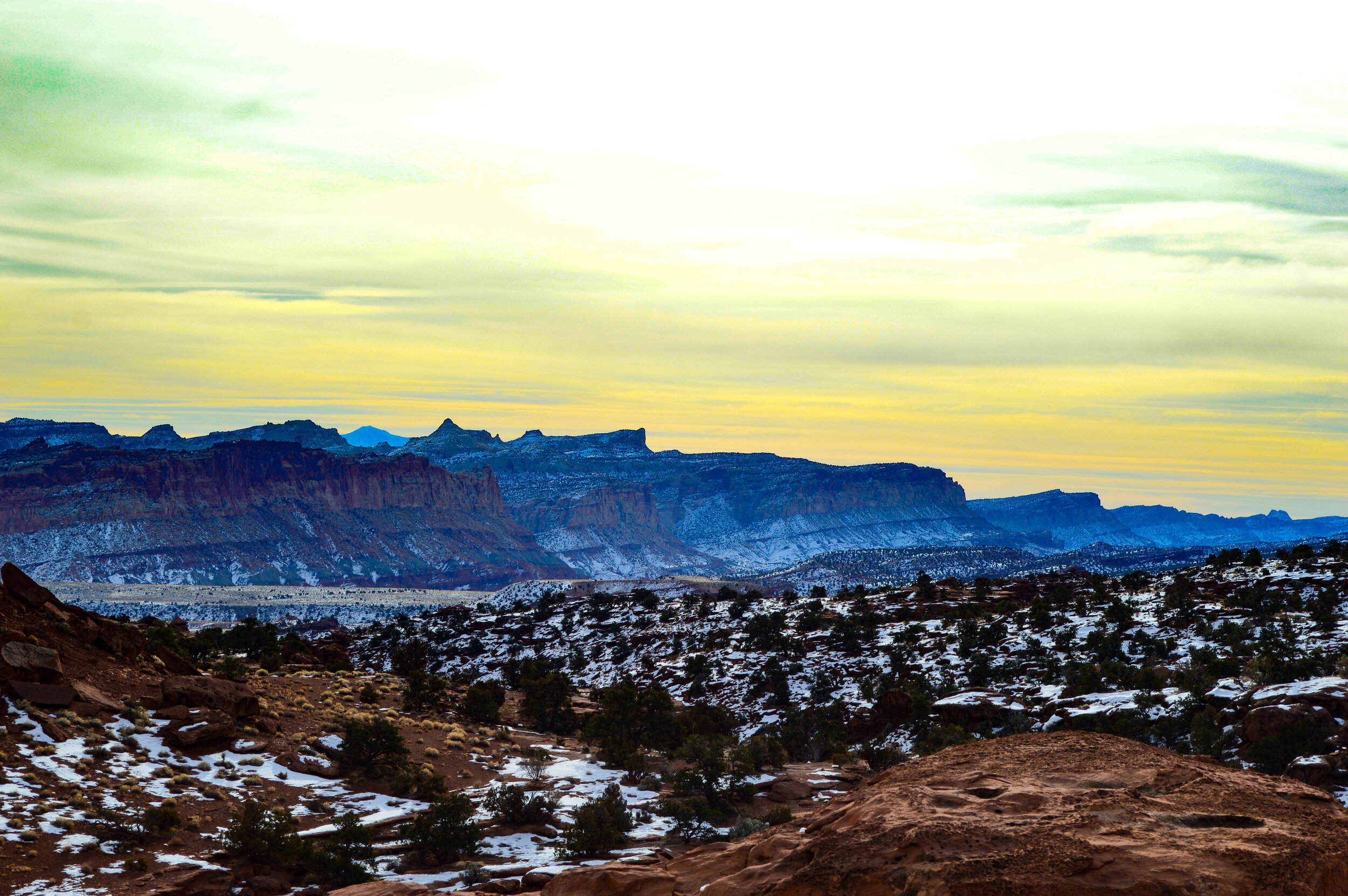
Waterpocket Fold
I would recommend visiting this park in the summer to gain a full appreciation for the bounty it has to offer. Unfortunately, much of the Waterpocket Fold is only accessible via longer off road trails or backcountry camping - something we were not prepared to do during these cold snowy months. Additionally, visitors can hunt for fossils or pick fruit from the orchards to interact a bit more with the Fruita Historic District.
San Rafael Reef
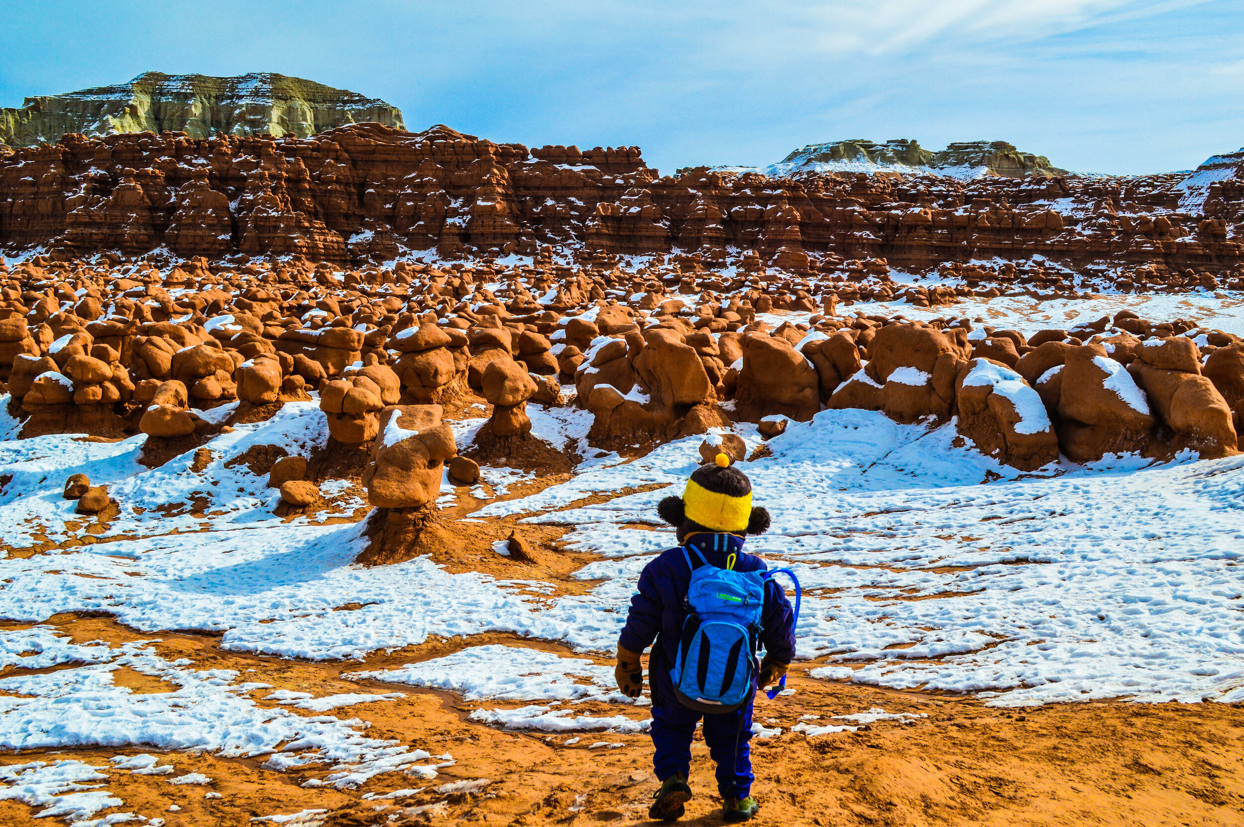
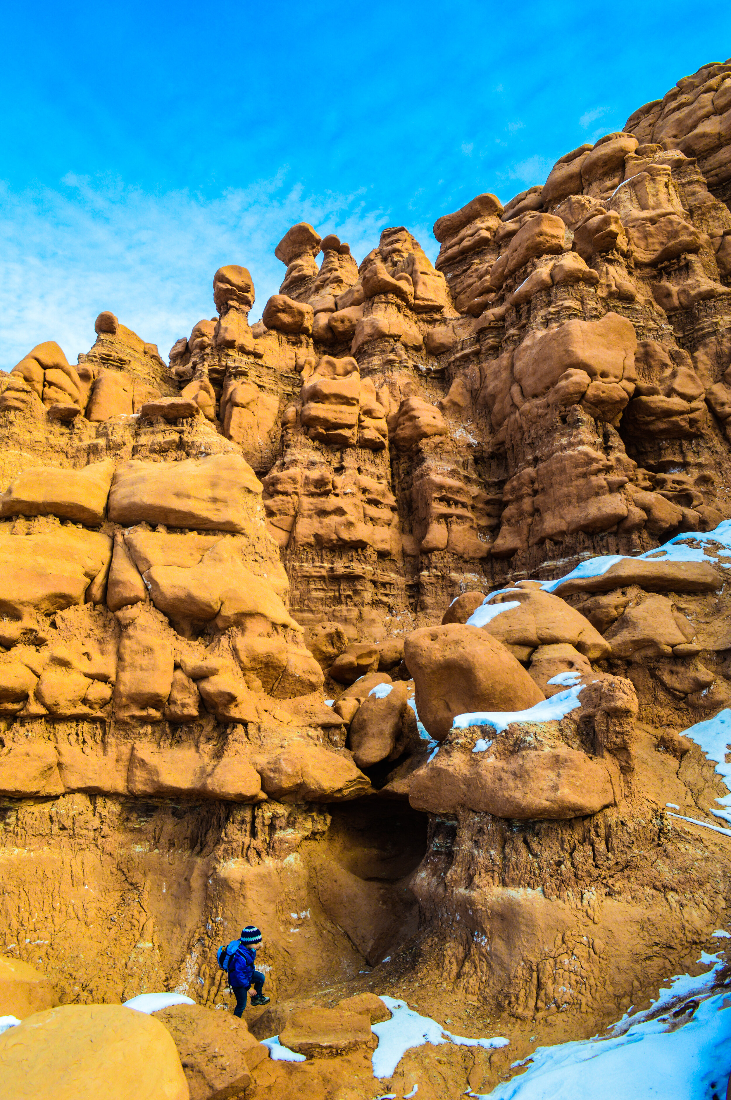
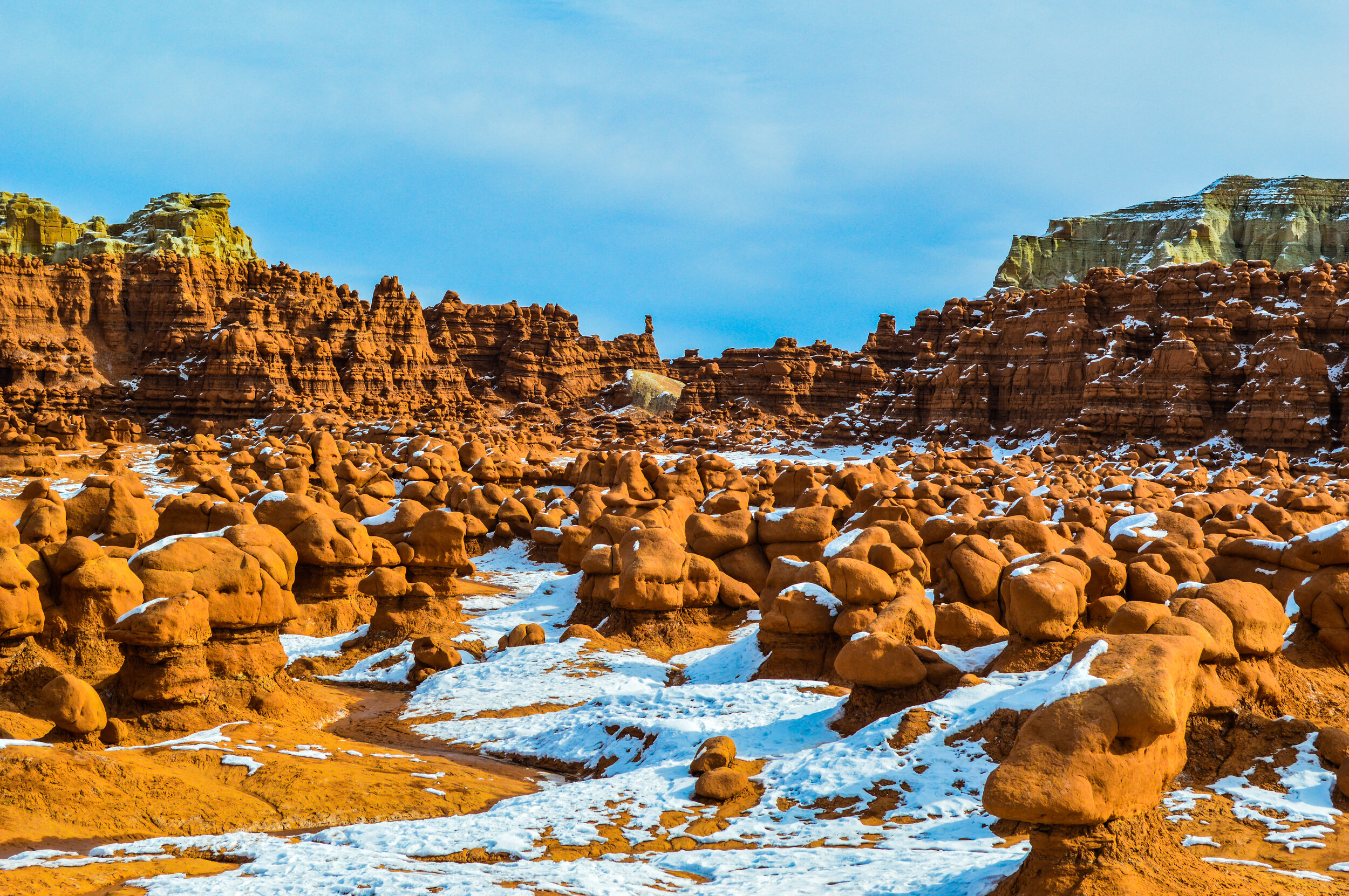
On our drive home, we took a few minutes to stop by a nearby state park – Goblin Valley. While not a national park, Goblin Valley is definitely a favorite for our kids. The strange landscape, unlike any others in Utah, is covered in sandstone “goblins” and is often compared to Mars. This maze-like park is open to the public to crawl, climb, and generally play with the hoodoos, mushrooms, and goblins, which is exactly what my kiddos did. Whereas with national parks we are clear with the kids about staying on the trail, Goblin Valley allowed the kids to run free and explore on their own terms. Located near the San Rafael Reef, this park was a very welcomed pit stop. I keep thinking we have seen some of the most interesting, oddly shaped geologic formations Utah has to offer, and yet with parks like this, it is clear there is still so much left to discover.