
Moab

While Arches, Canyonlands, and Capital Reef have been incredible stops on our journey, I want to focus this post on Moab. Moab has been a really special city for our family – between the small-town culture to the multitude of family and adult solo hikes, this city is absolutely worth a stop on anyone’s trip thru Utah. To be honest, Moab provided some of our favorite hikes of the past month.
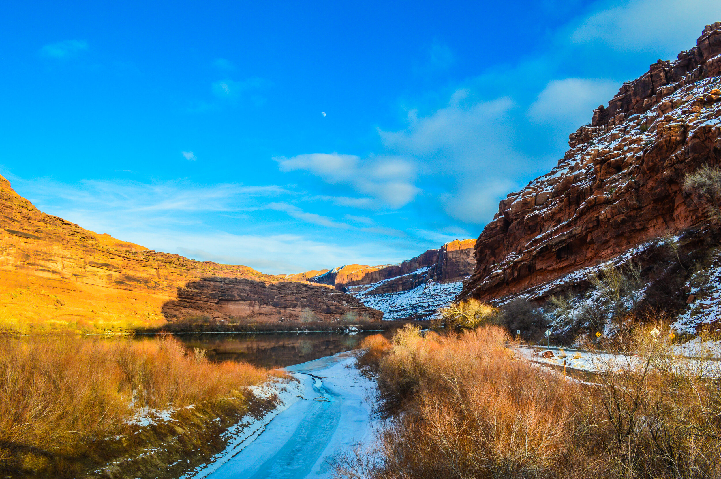
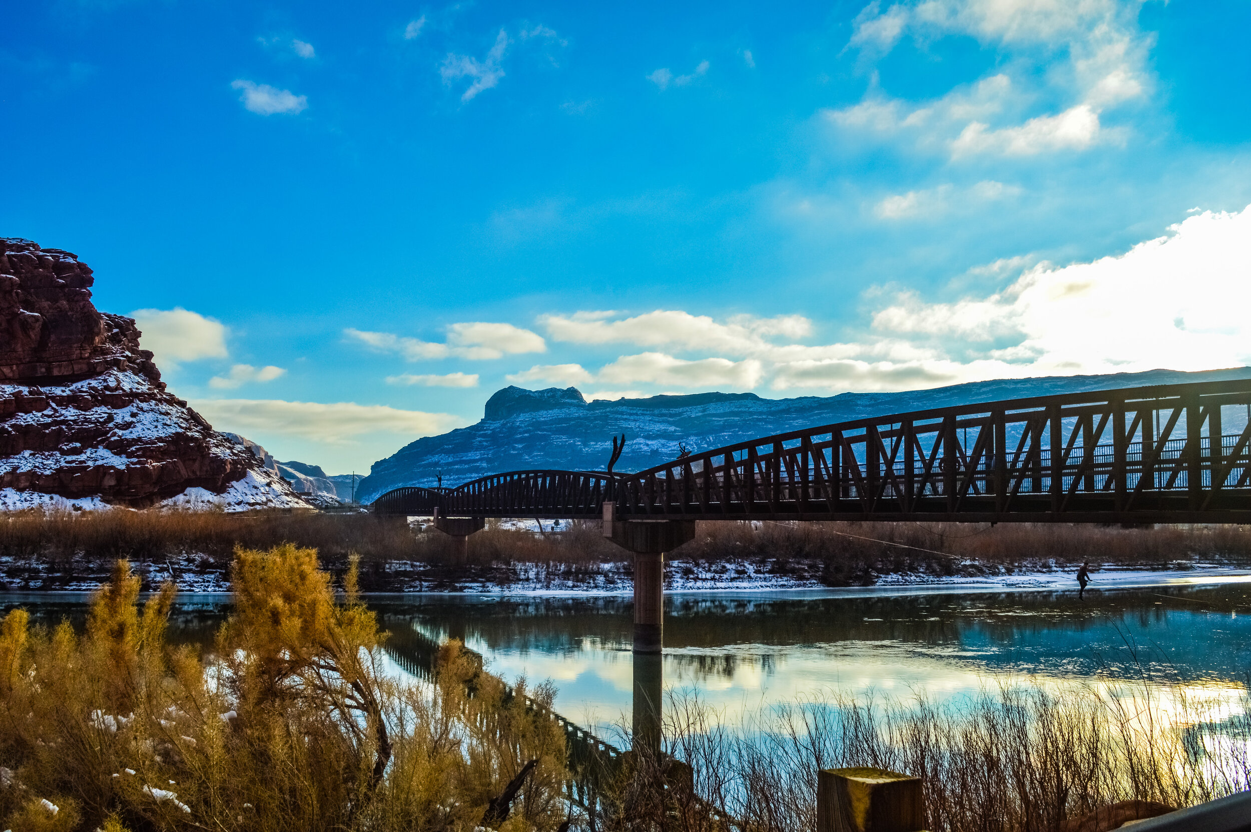
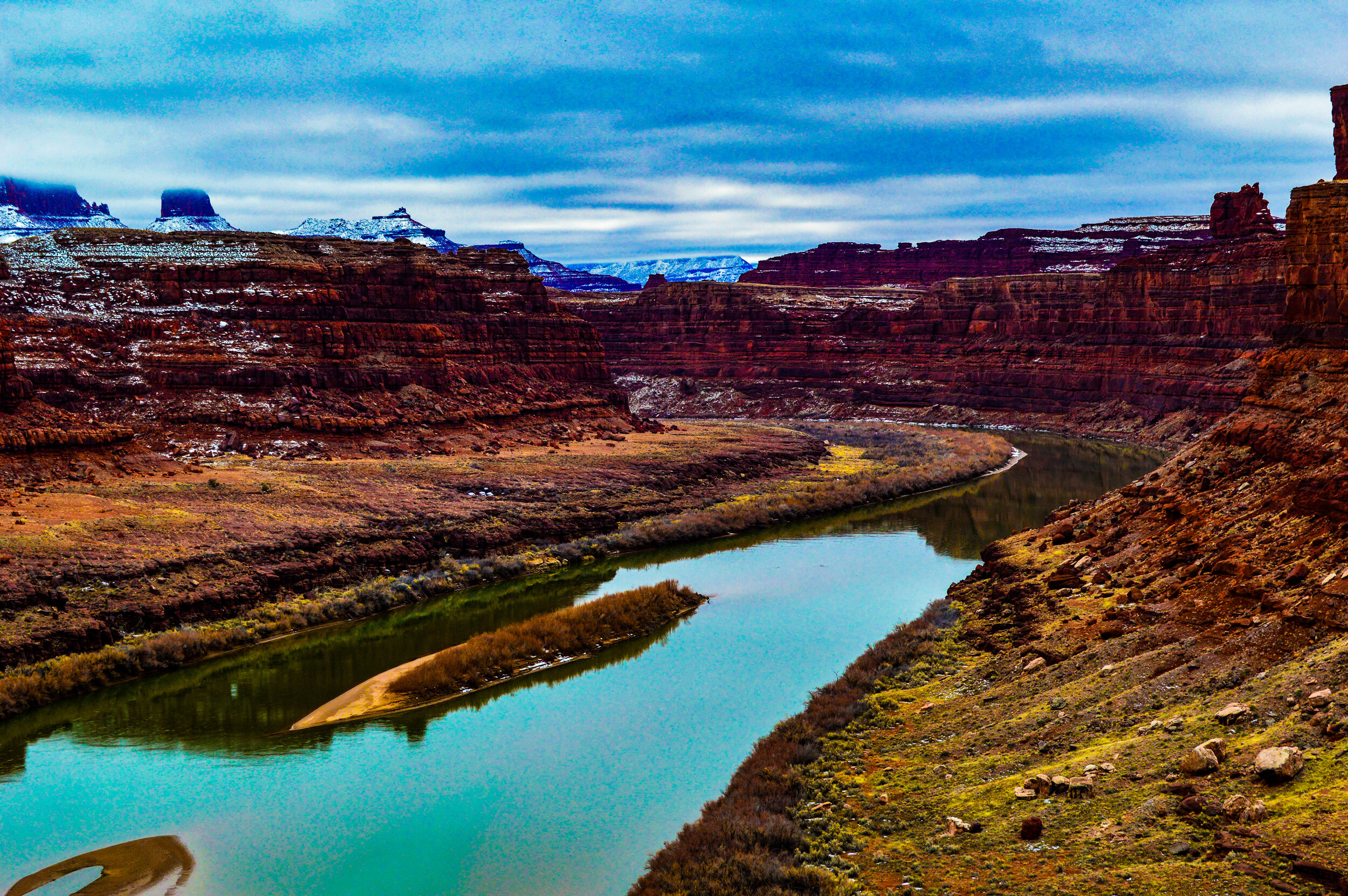
When we first arrived in the Moab area, we looked for a hike that would be easy for the kids, but provide a preview of the geological structures we would be seeing throughout some of the national parks. Lions Park was across the street from the RV park we were staying at, and was the perfect first family hike after a long travel day across state lines. This scenic park is across the Colorado River from Arches, and follows Negro Bill’s Canyon, offering several connections to hikes throughout Moab and Arches. With little to no elevation gain, lots of open space for the kids to throw rocks/play in the river/get muddy, and spectacular views, this park felt like it was made for our family!

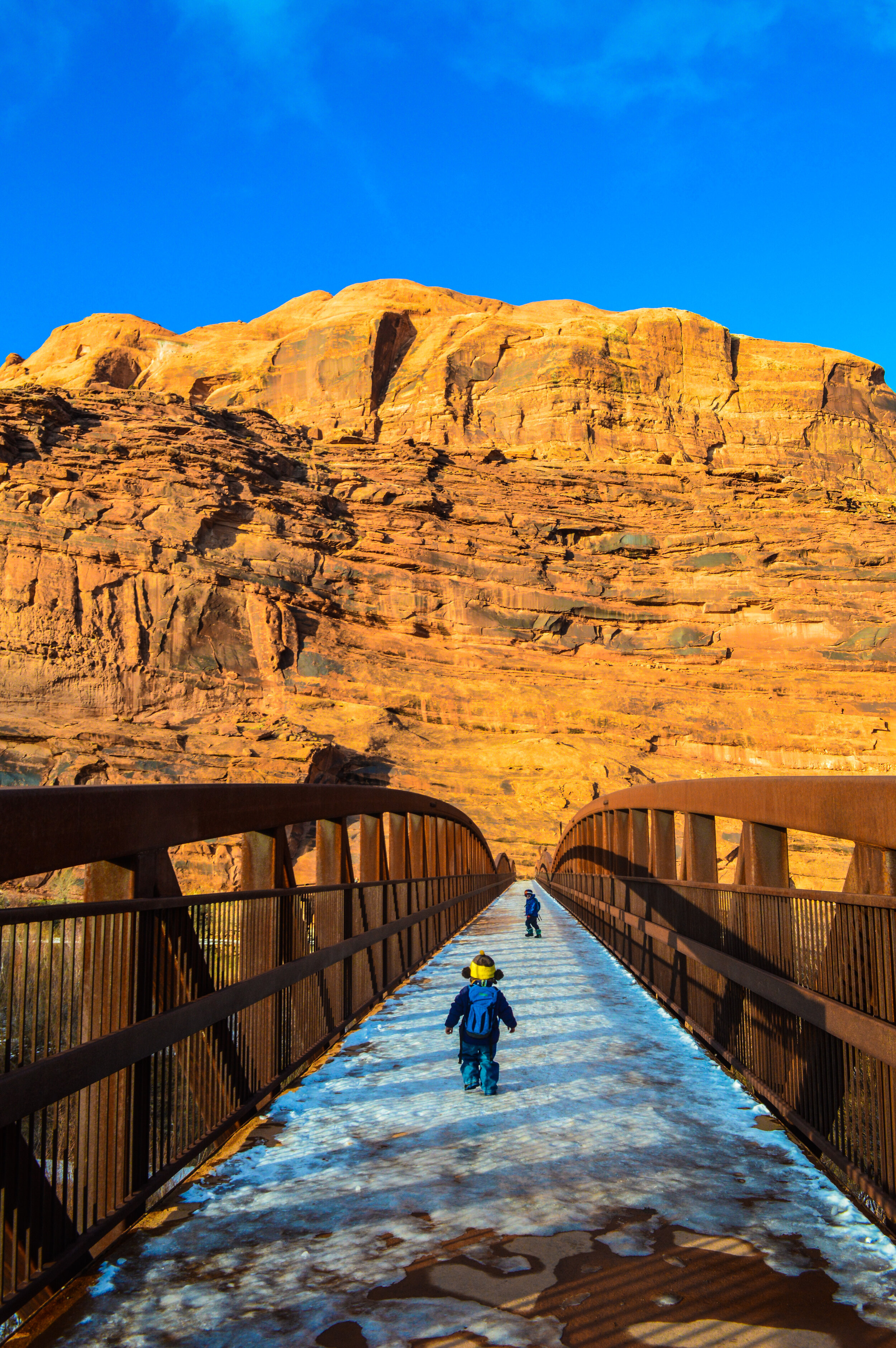
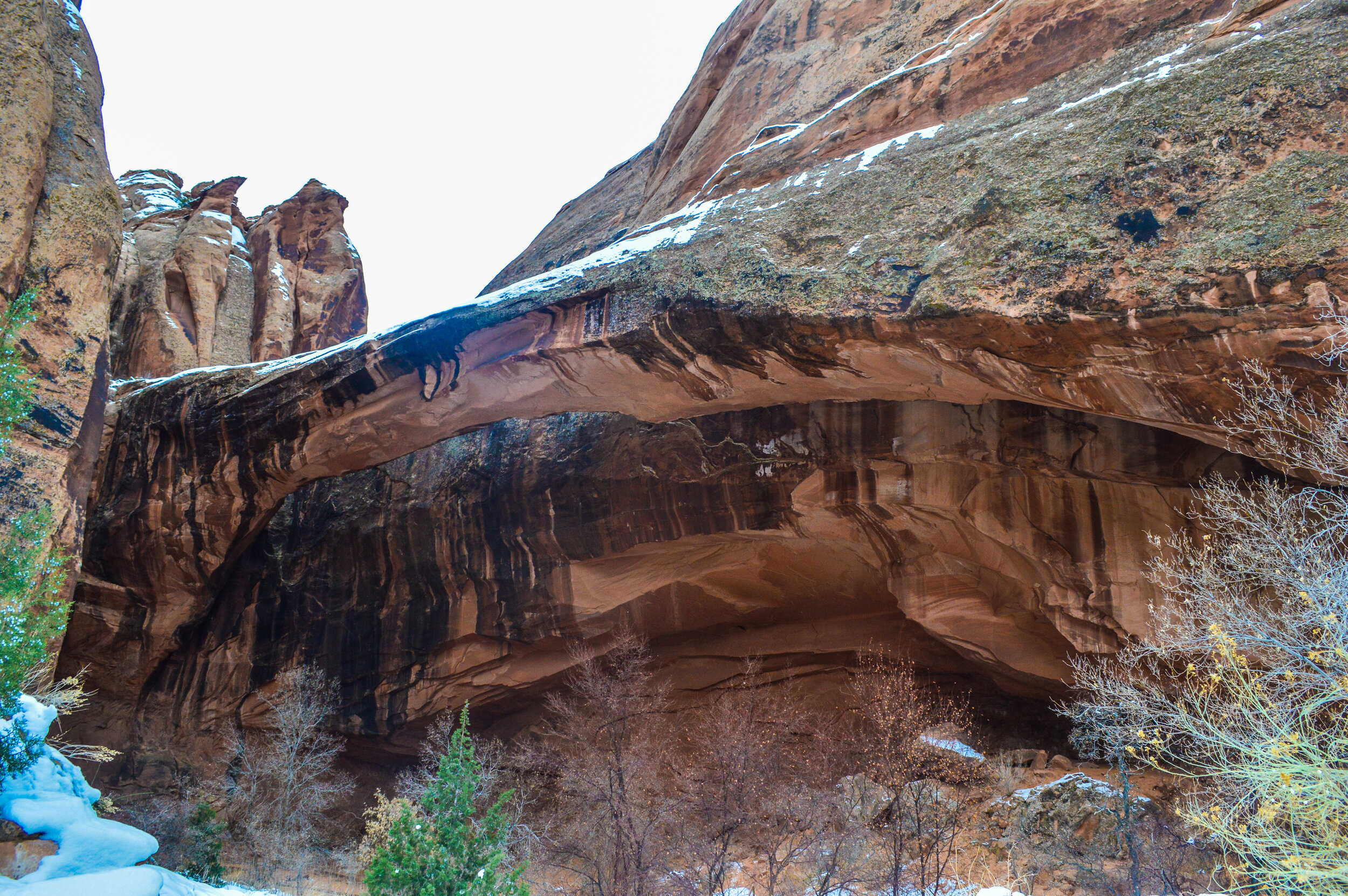
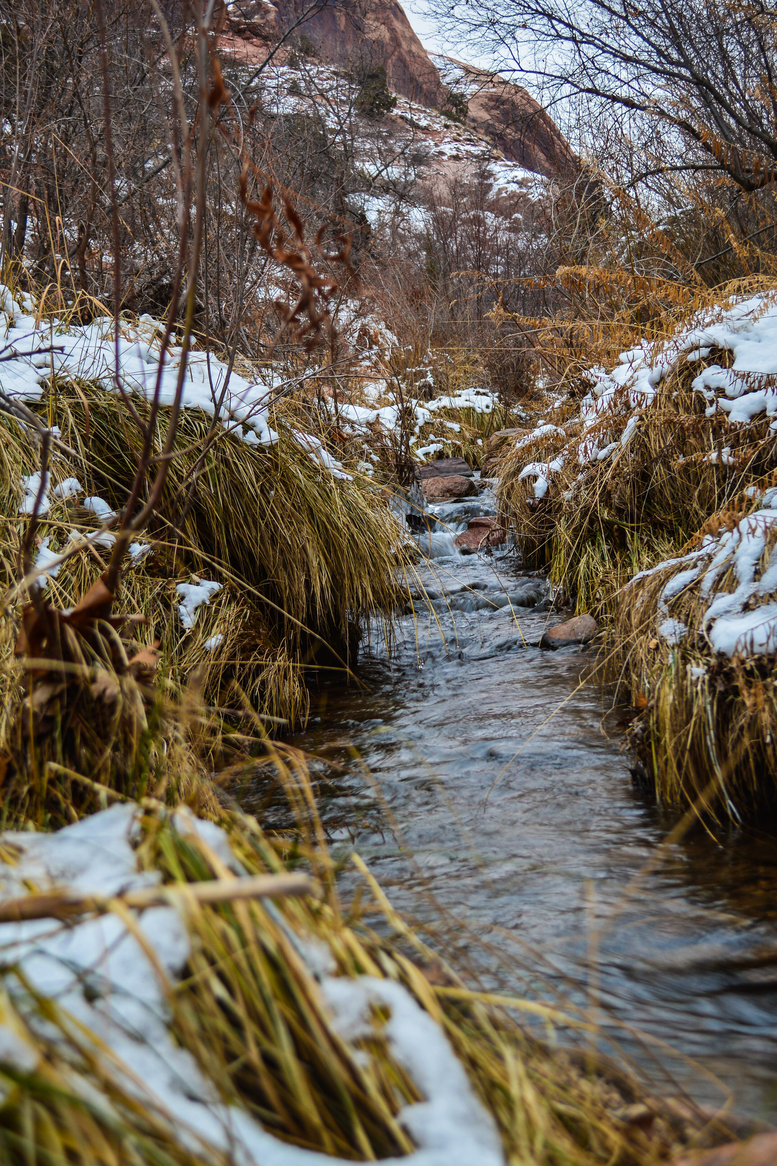
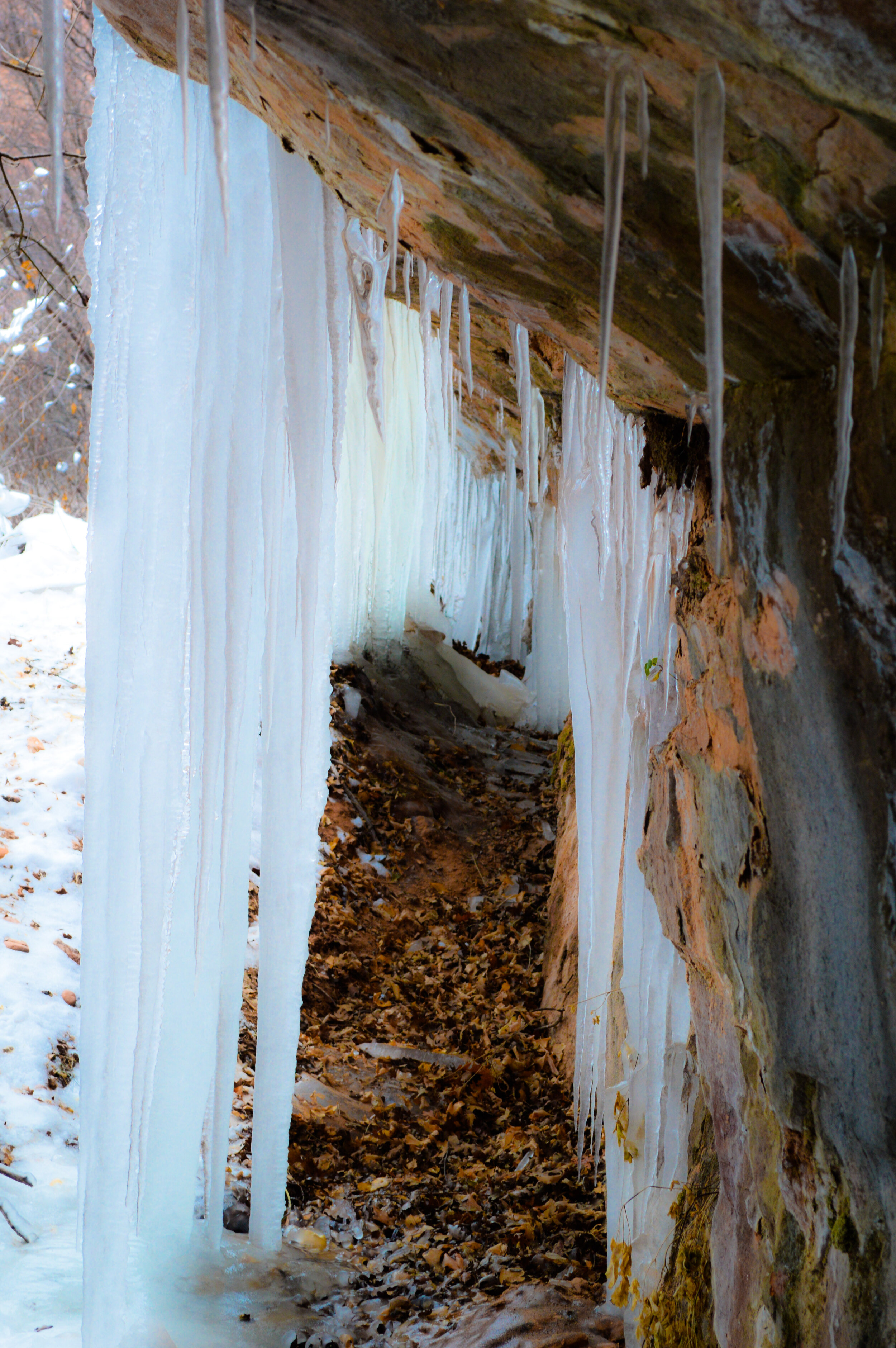
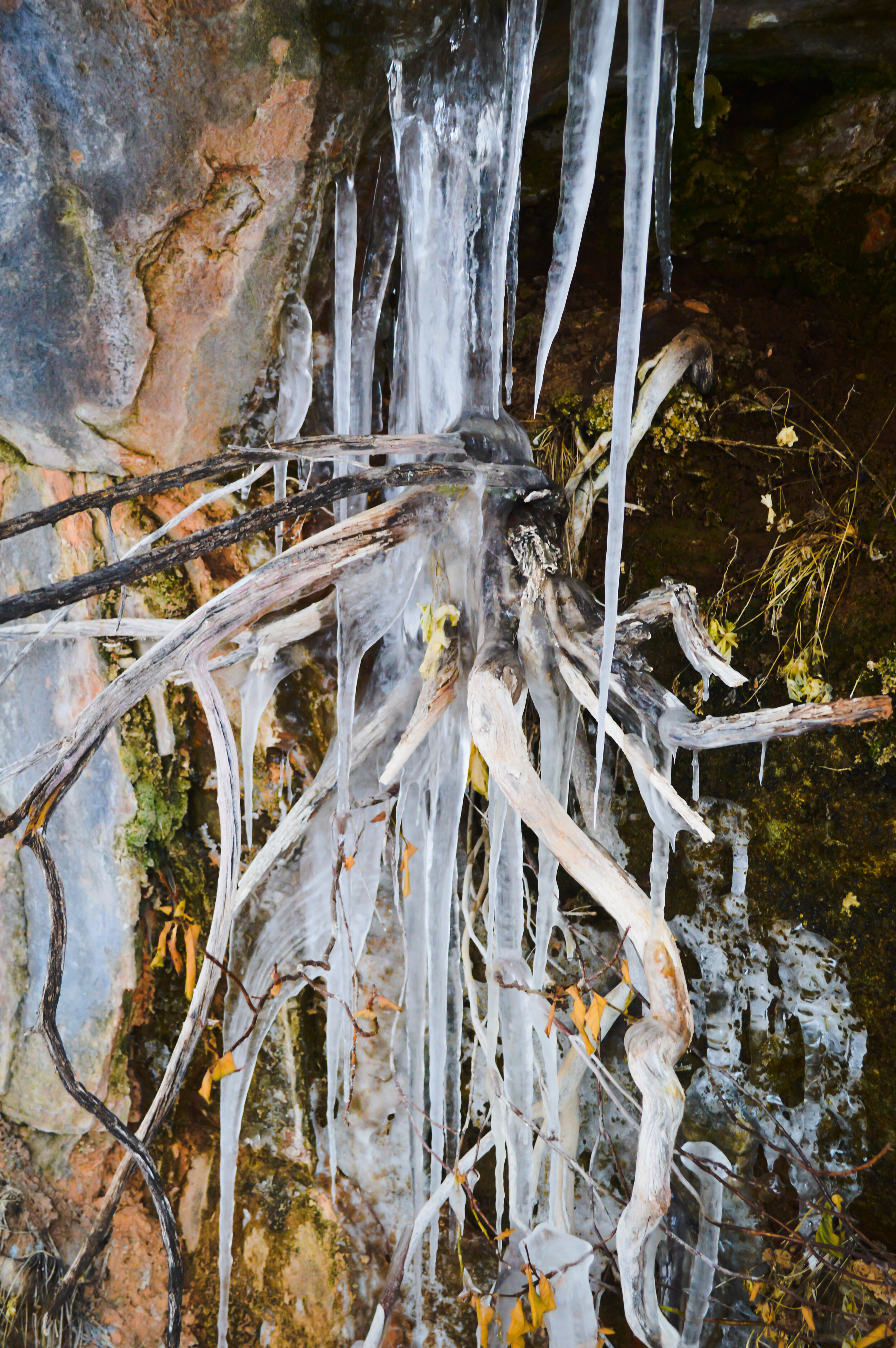
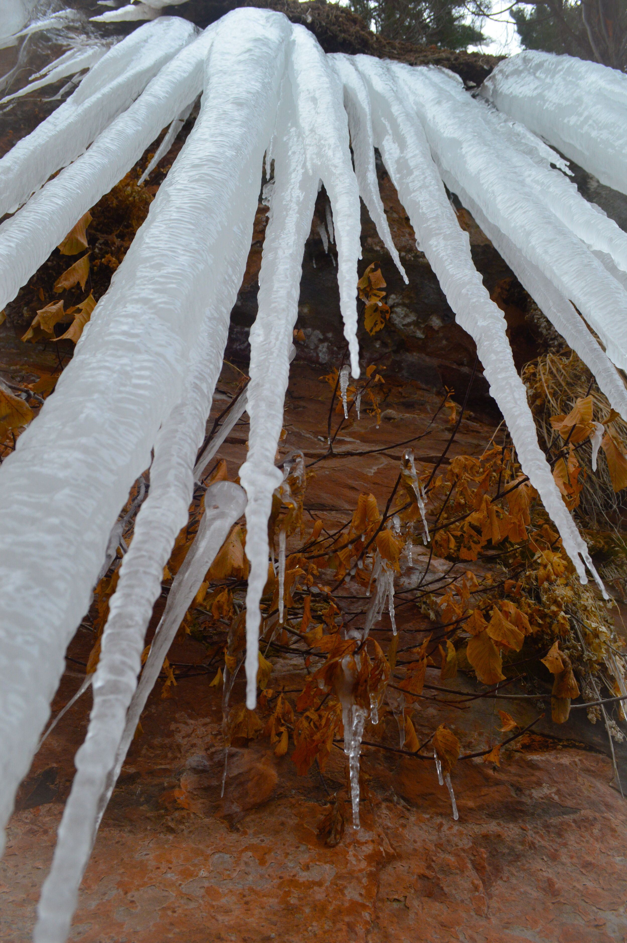
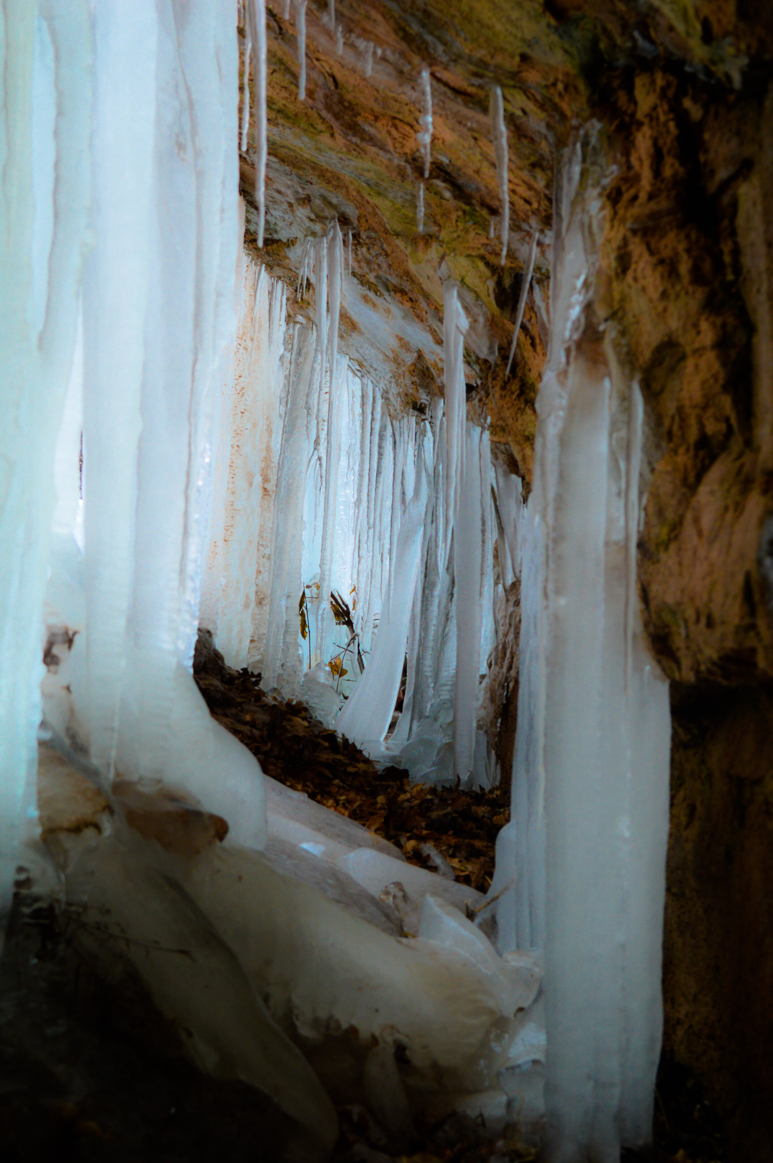
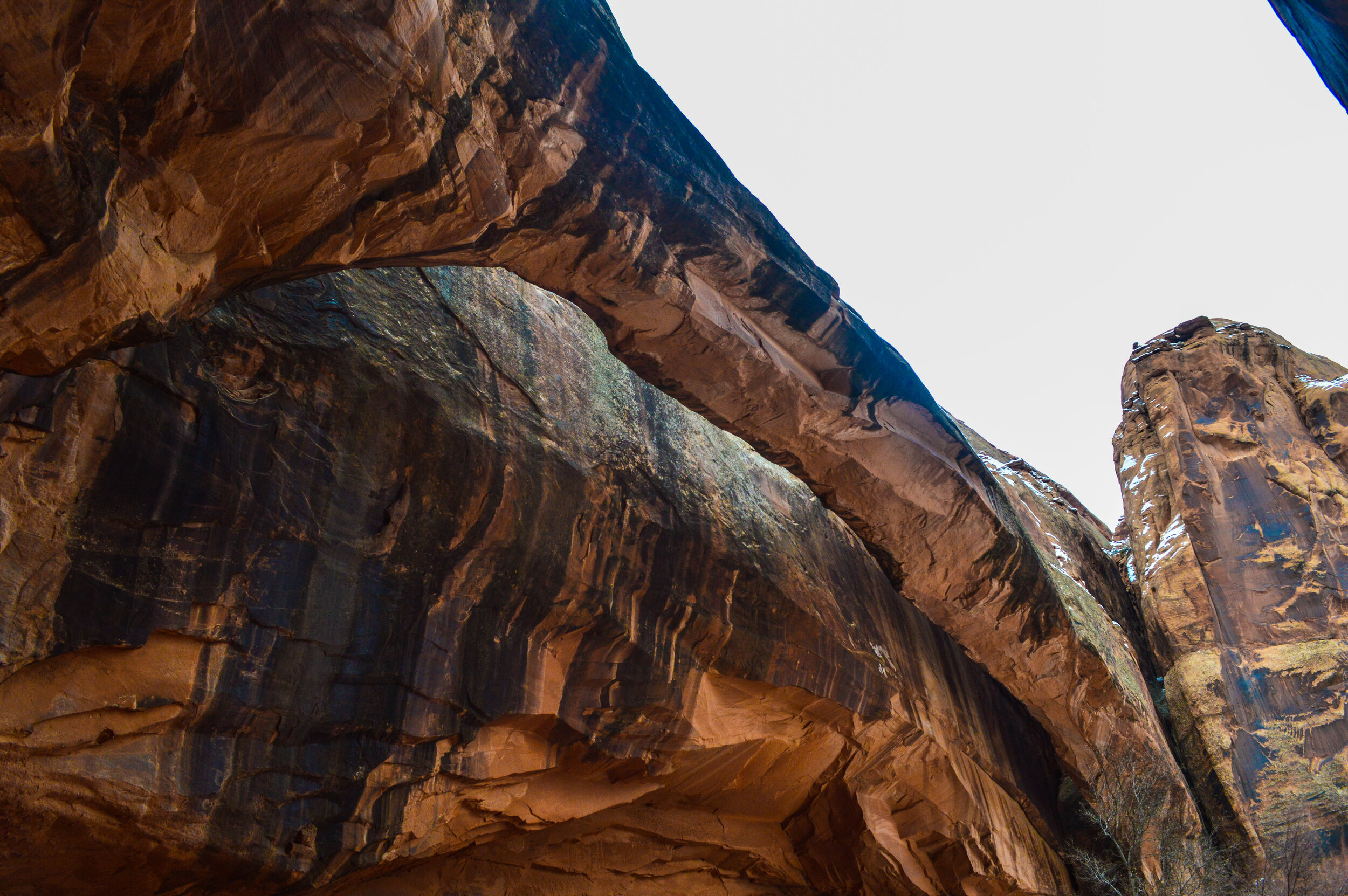
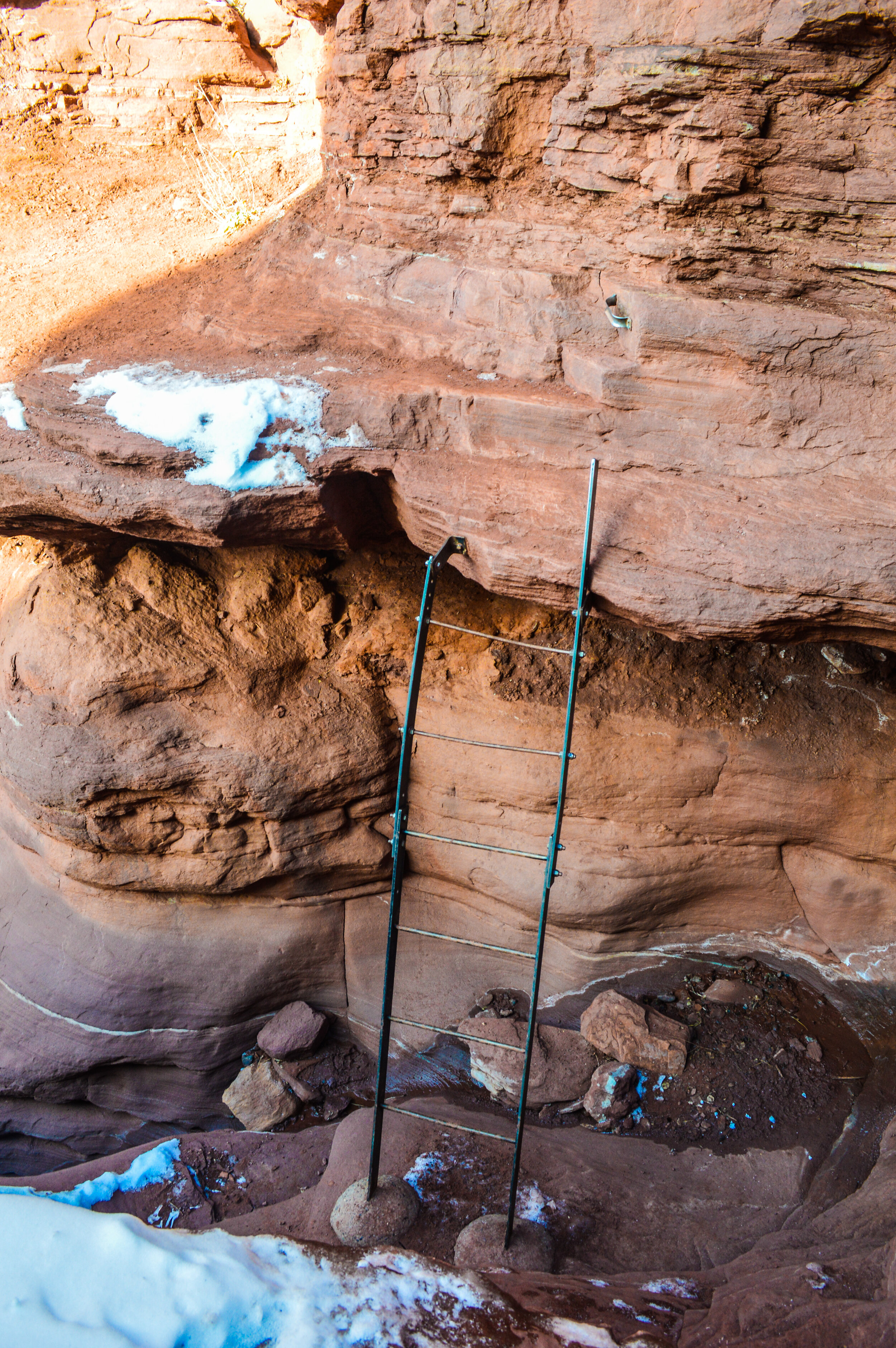
Continuing along the Colorado River, a longer, but more scenic hike is to Morning Glory Bridge. With only 300 total feet of elevation gain, this 4.5-mile hike was an excellent early morning adult solo hike thru the canyon. The bridge itself is 243 ft, making it the 6th longest natural rock span in the US . The bridge is only separated from the cliff wall by 15 ft, so it’s hard to understand the grandness of this structure until you are directly underneath it. With the bridge 75 ft above you, this impressive monolith is breathtaking. While I am sure this is a popular hike in the summer, allowing you to walk up most of the canyon in the river, the winter weather created some breathtaking frozen waterfalls and ice structures. With 10 water crossings each way, there was plenty of opportunity to take in the wonder of 15ft icicles hanging from the cliffs.
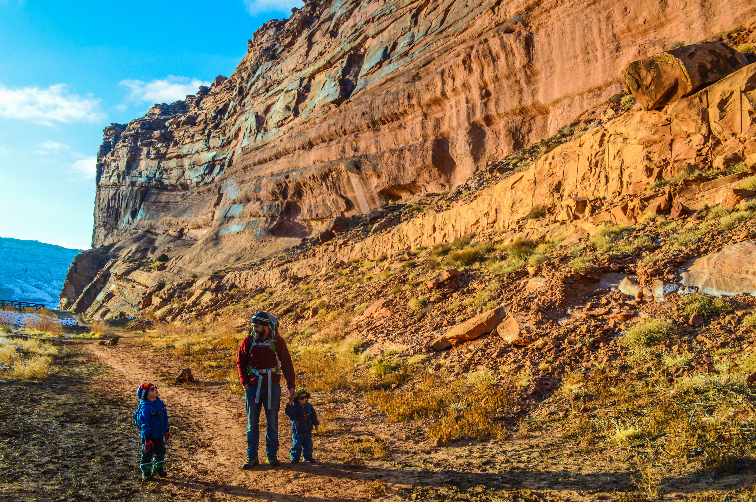
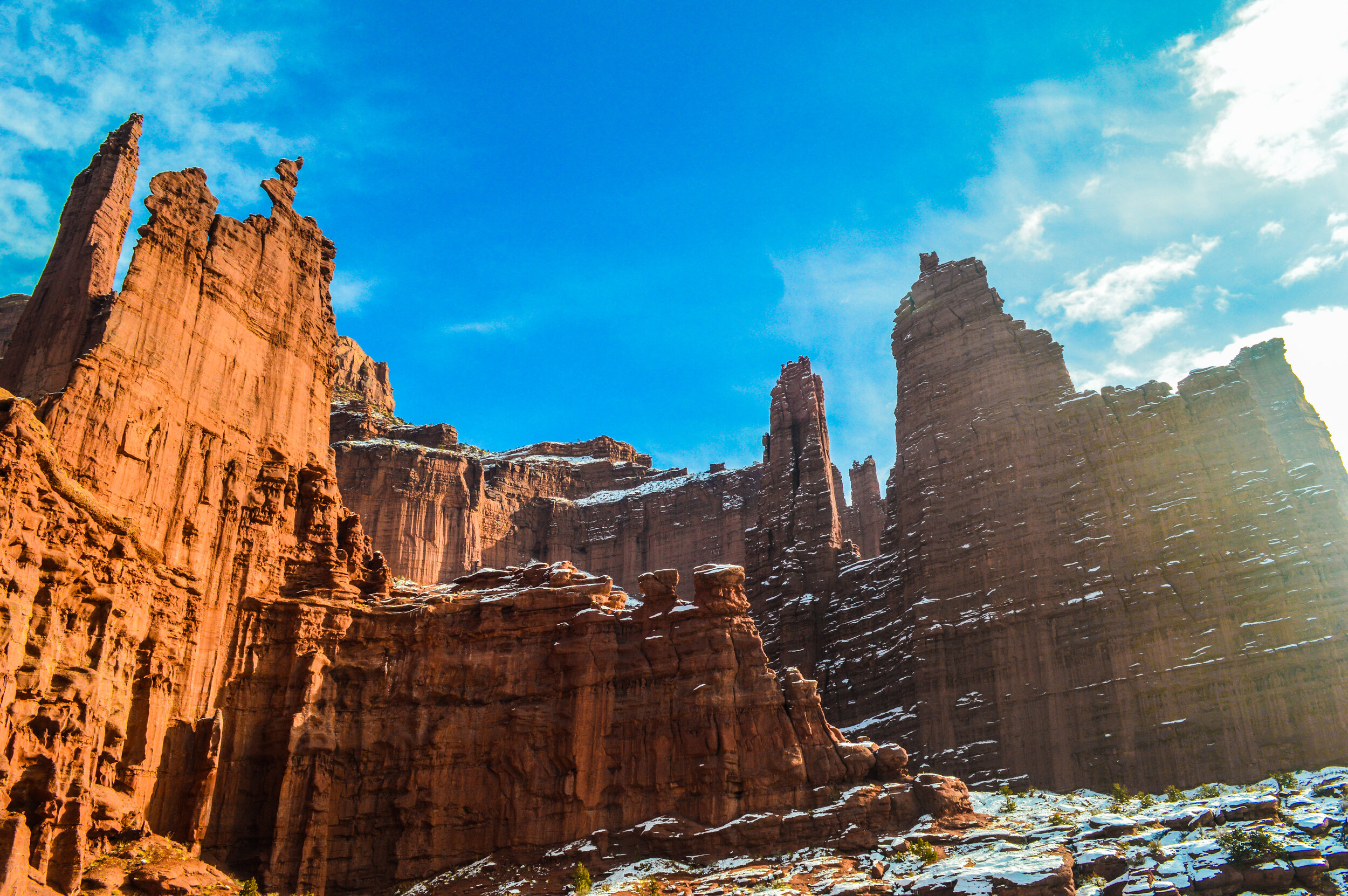
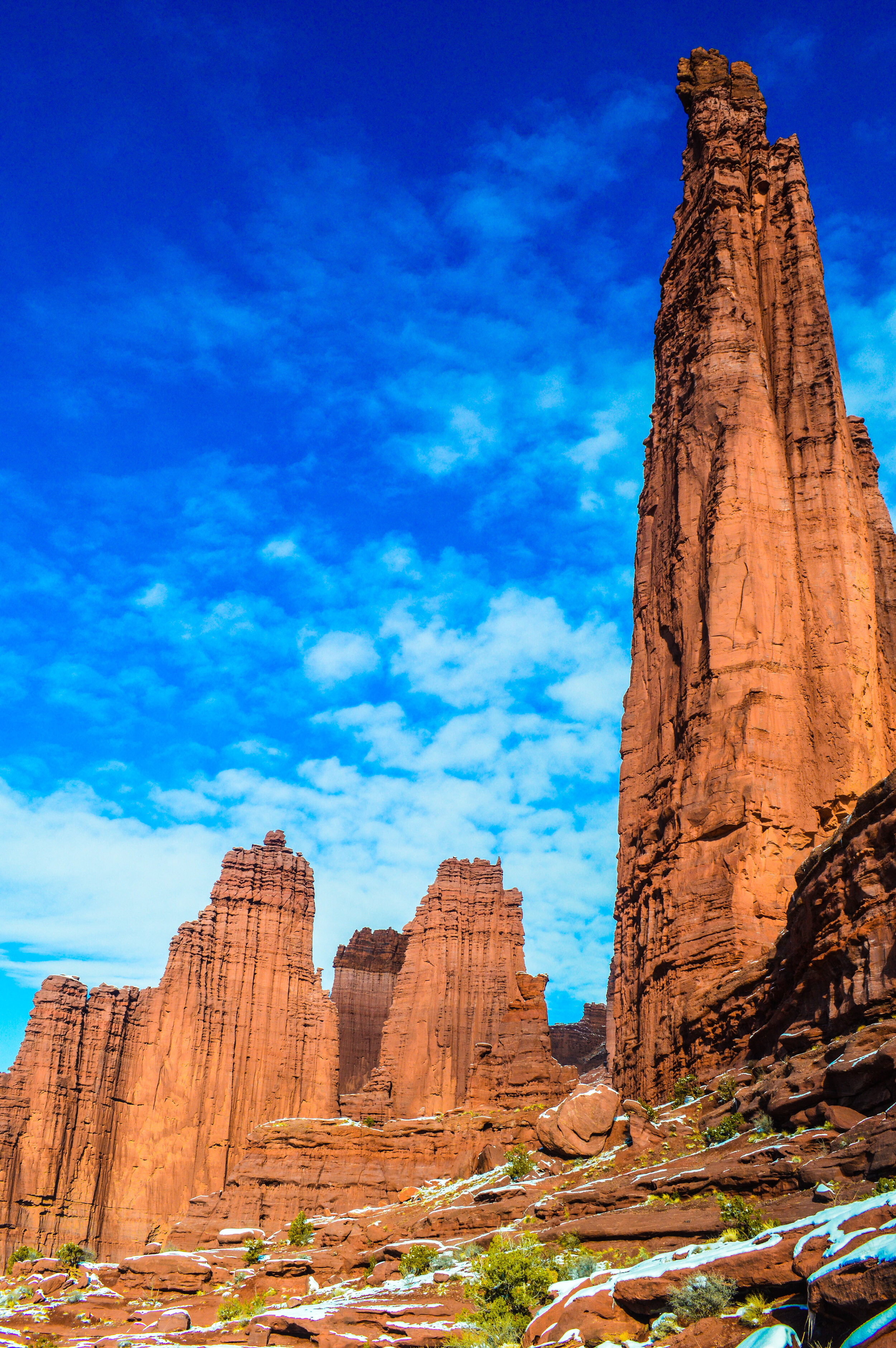
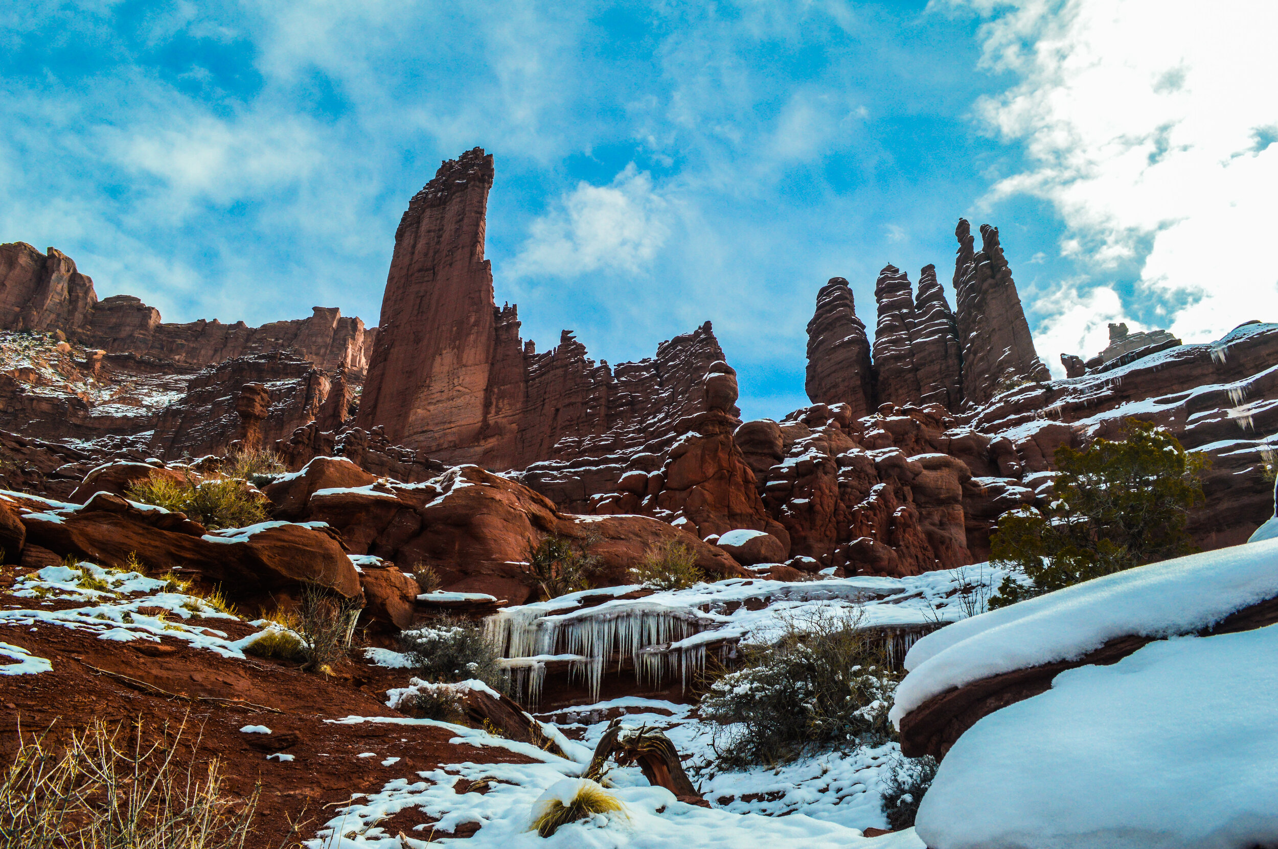
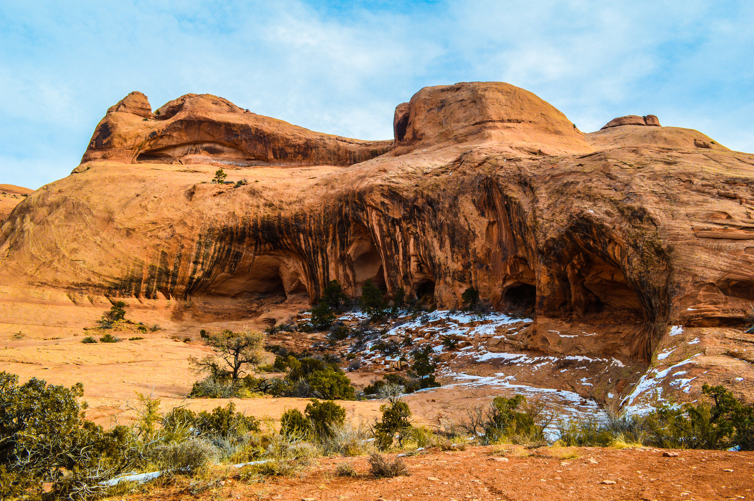
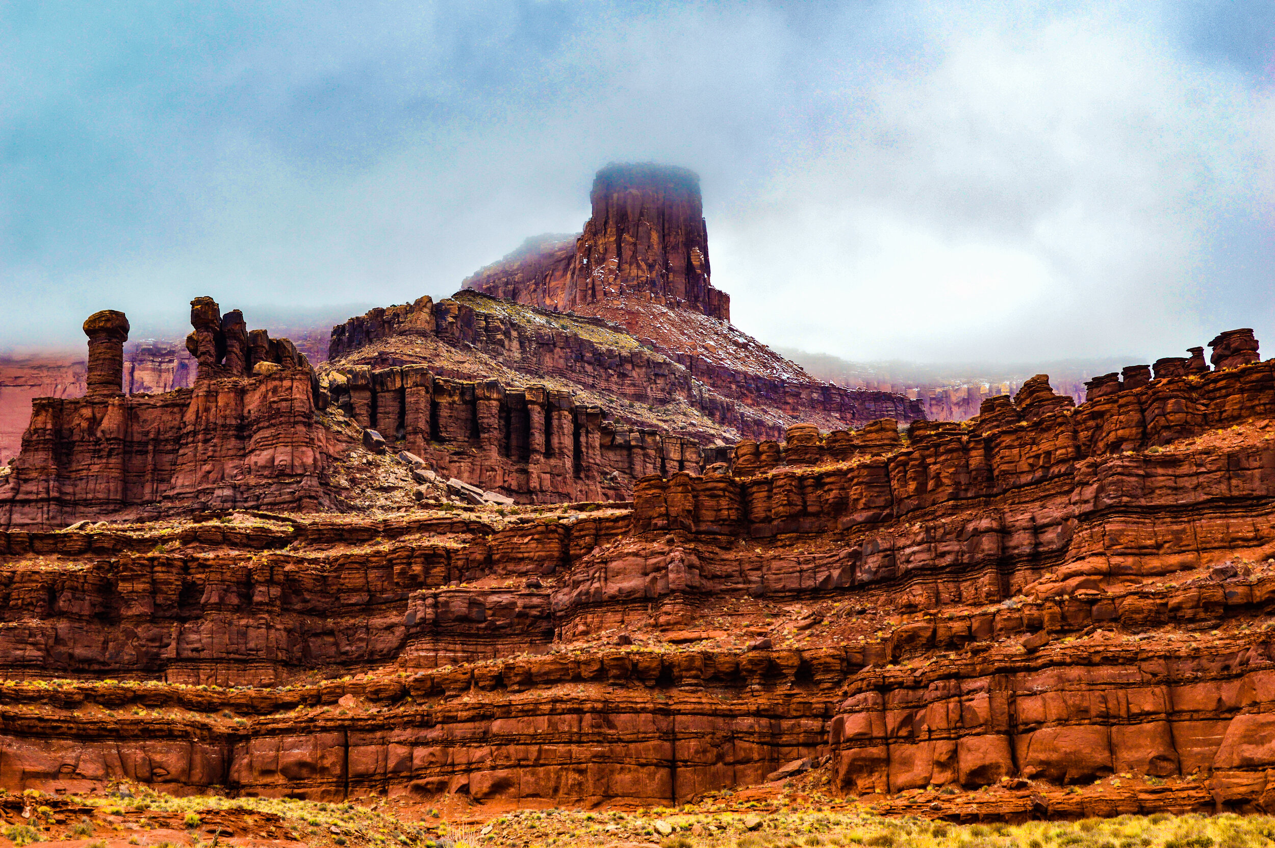
Another isolated and totally stunning hike along the base of The Titan mountain peak, is Fisher Towers. While this is a high trafficked trail in the summer, the winter weather made the trail hard to follow which added an element of adventure as we climbed thru the canyon. As you approach the towers, it’s easy to be awe-struck by the size, which is only amplified as the trail weaves you up and thru the structures. Being secluded and surrounded by the towers on one side, and the Moab fault on the other, there was not a single mile of this hike that did not offer breathtaking views.


Speaking of the Moab fault, it would be impossible to talk about Moab and not mention the primary geologic feature that extends the entirety of Moab and throughout the Moab-Spanish valley! The Moab Rim Trail takes you nearly 2,000 ft up the Moab Fault, running along a ledge of purplish sandstone among the cliffs of the Colorado River. This anticline is made mostly of slickrock which might sound like good news to experienced hikers, but the brutal stair-step features and relentless angle make you earn that view from the top. All I can recommend is that you eat your Wheaties before you attempt this trail, and get yourself a lower body massage when you complete it!
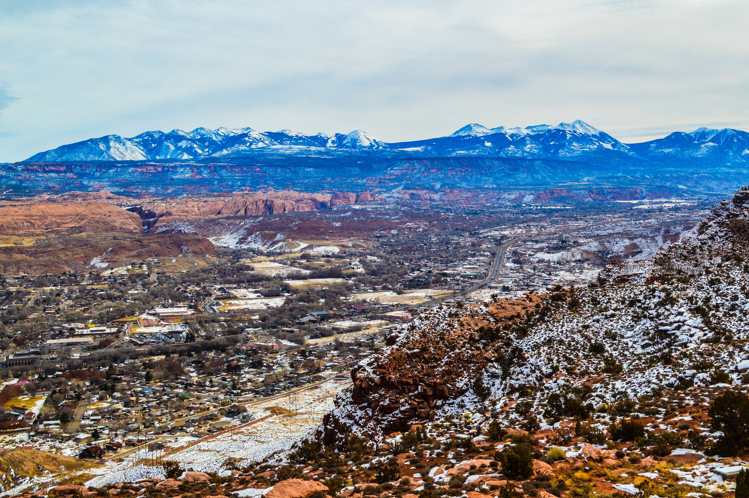
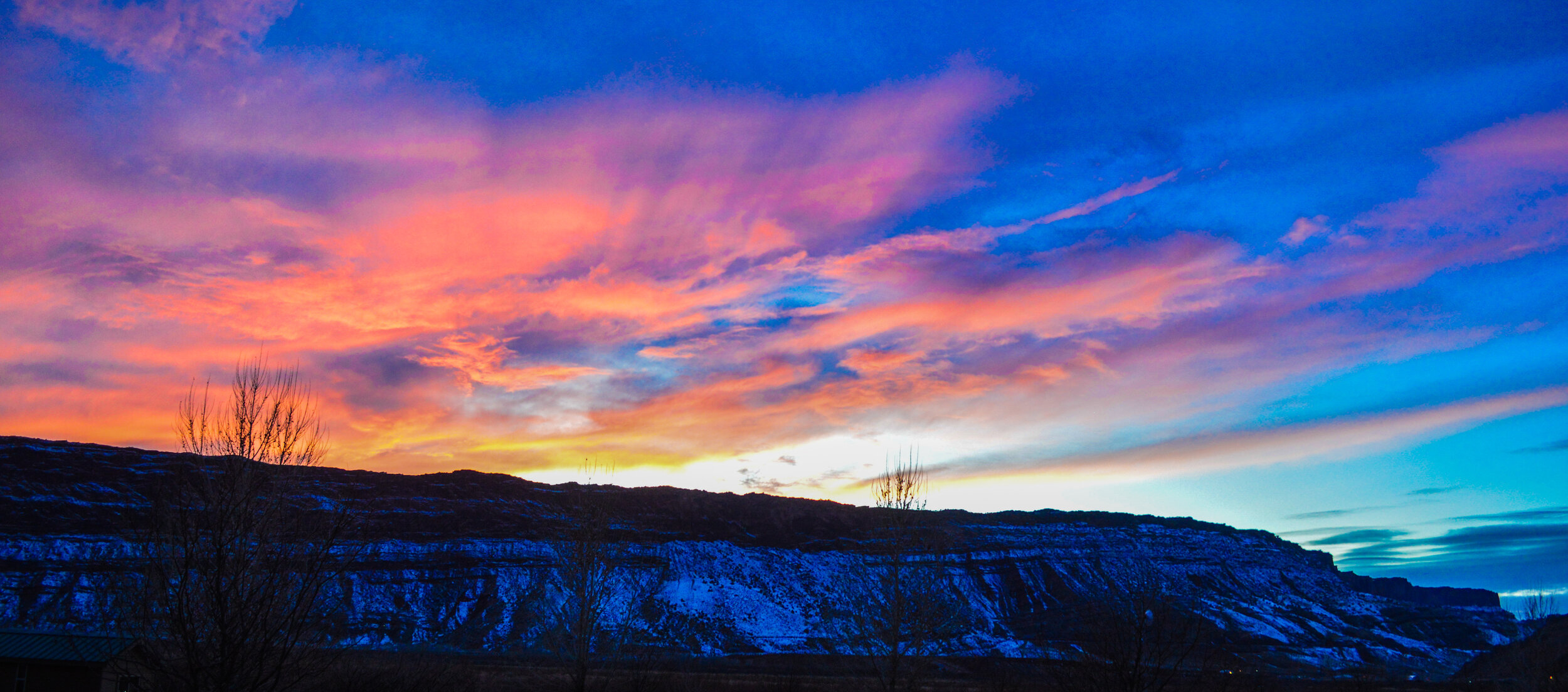
Moab Fault from our campsite
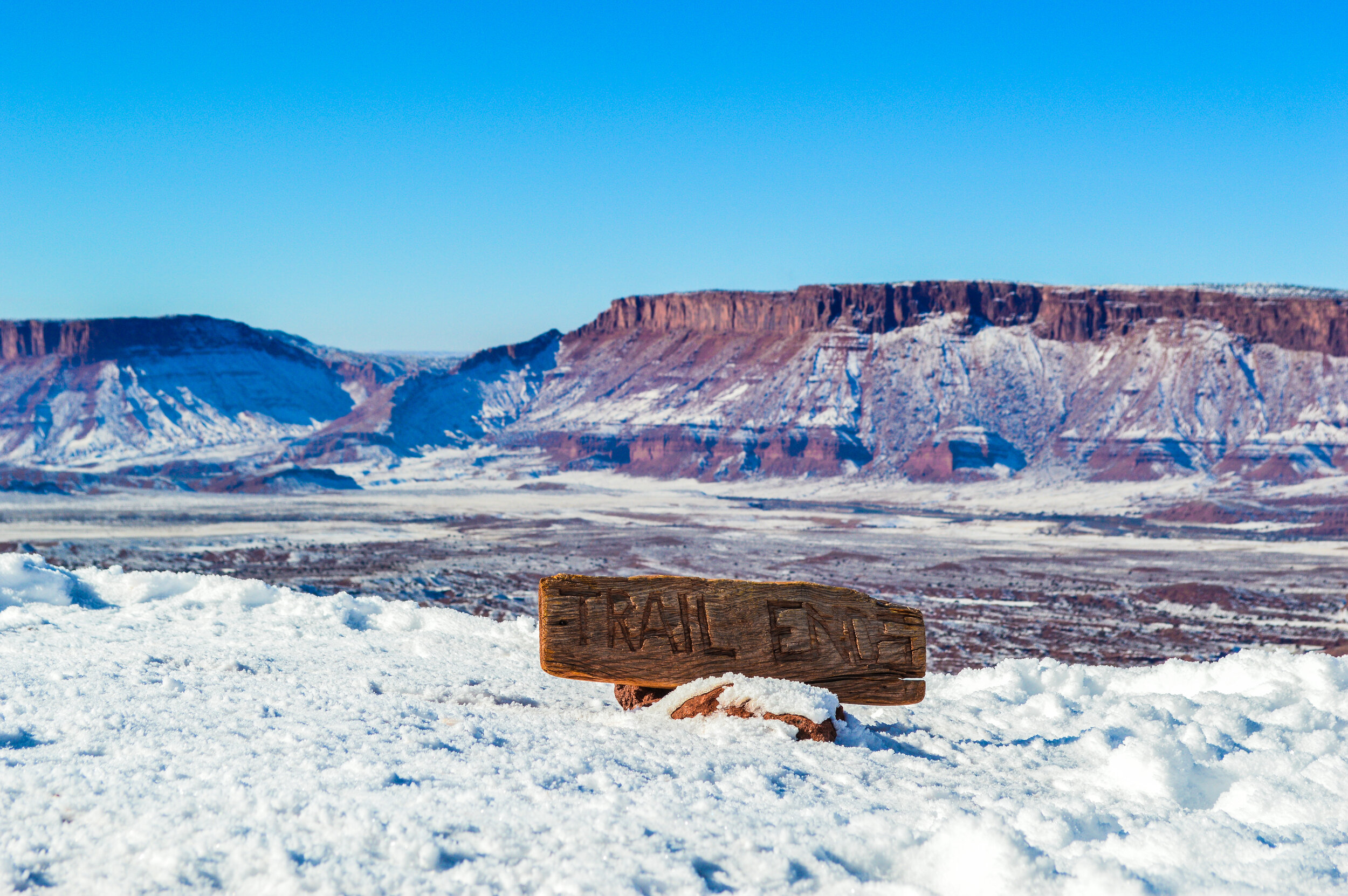
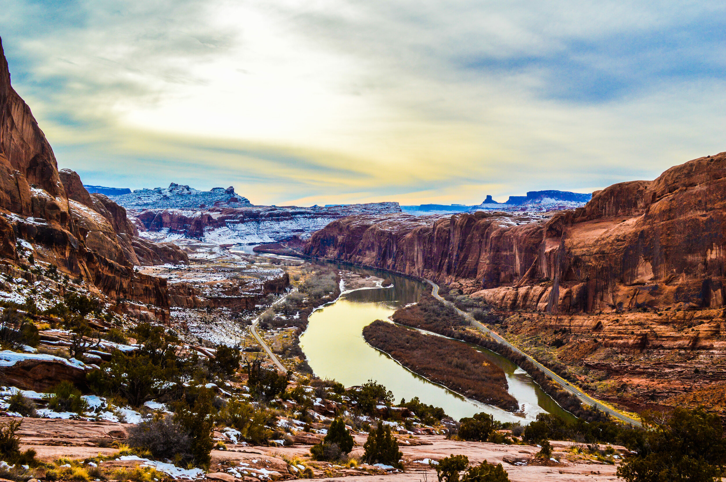
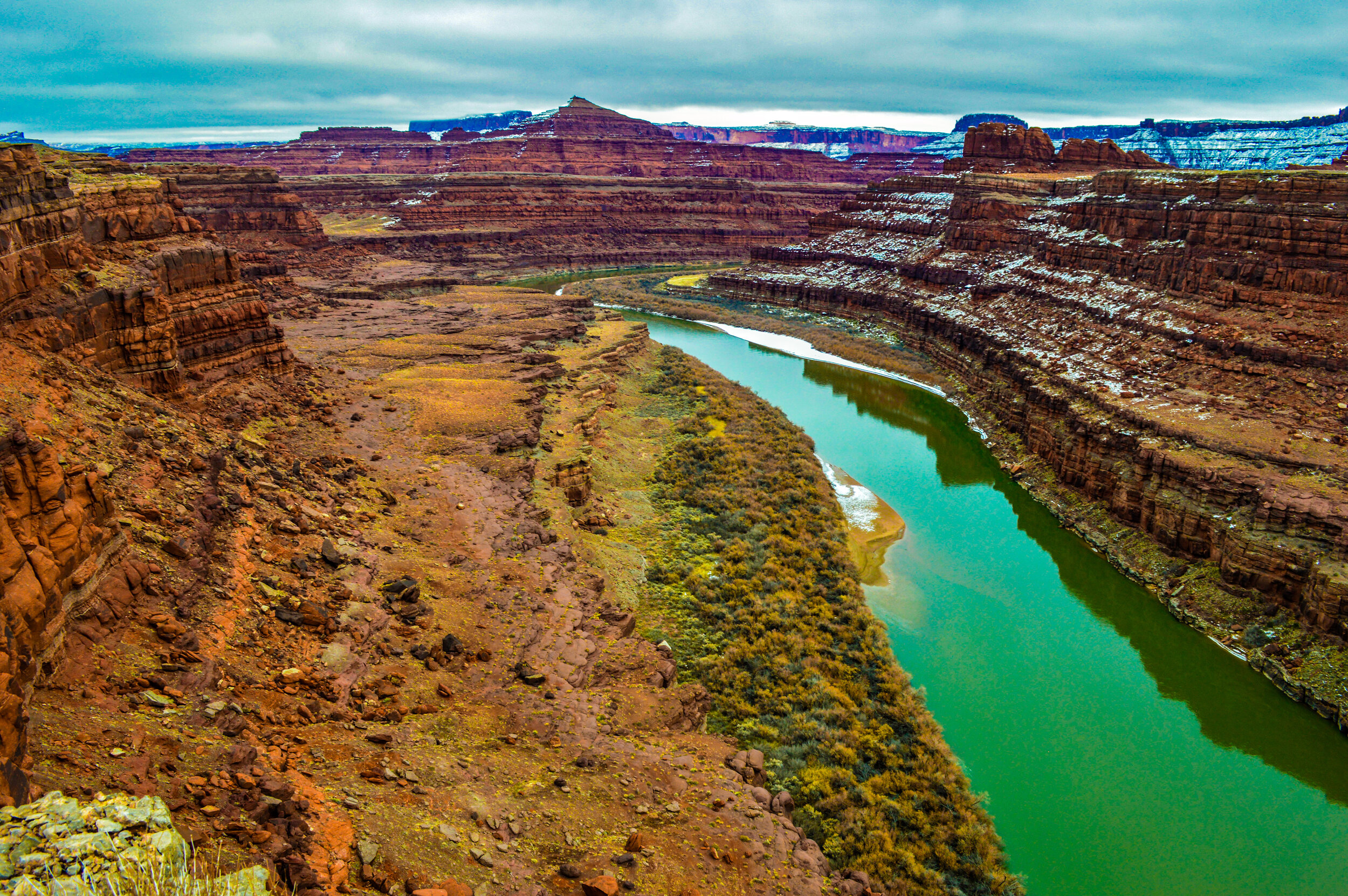
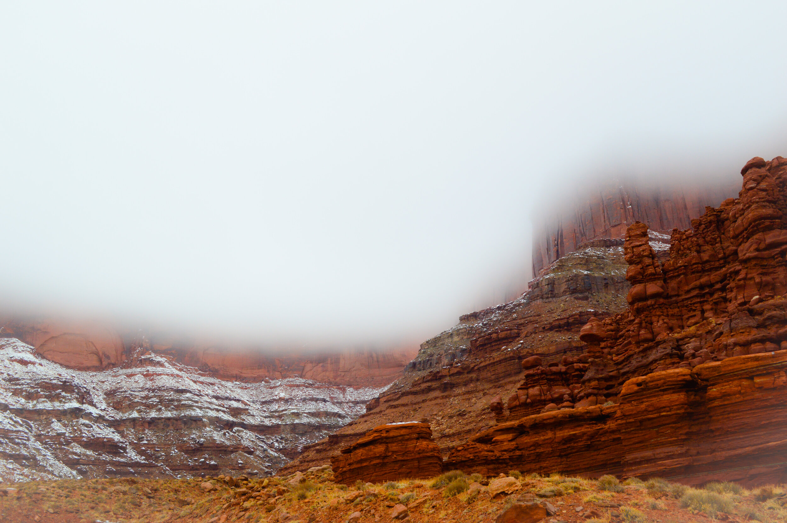
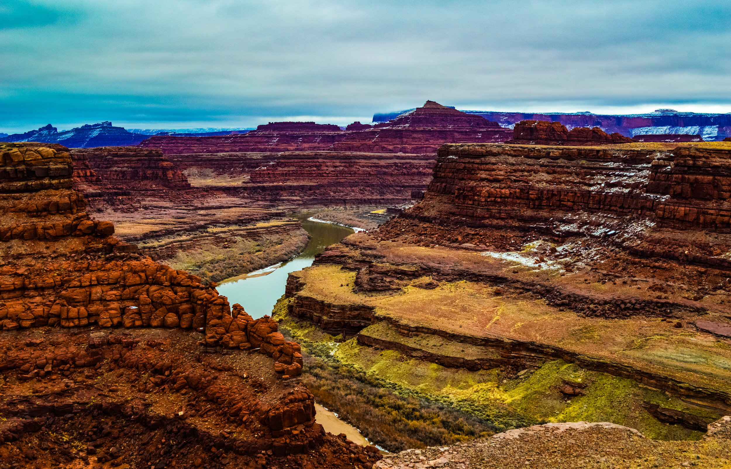
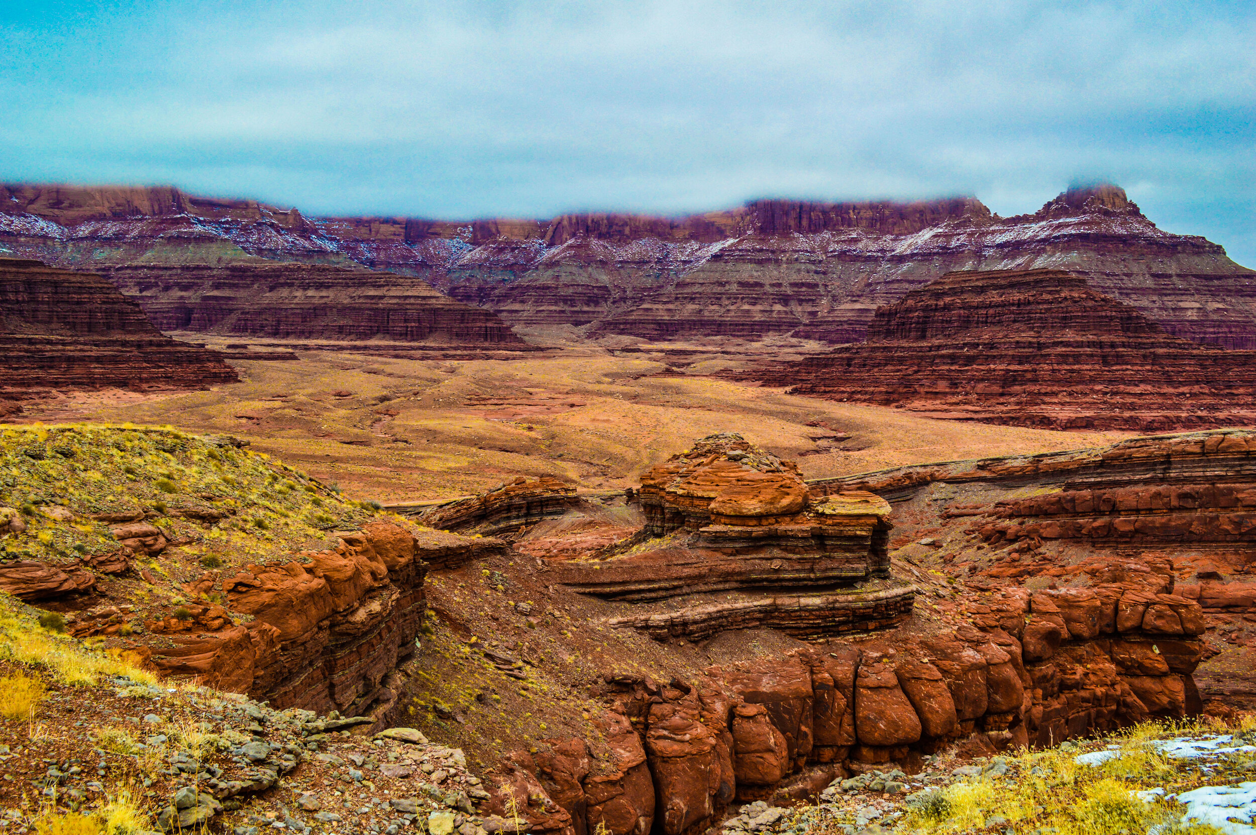
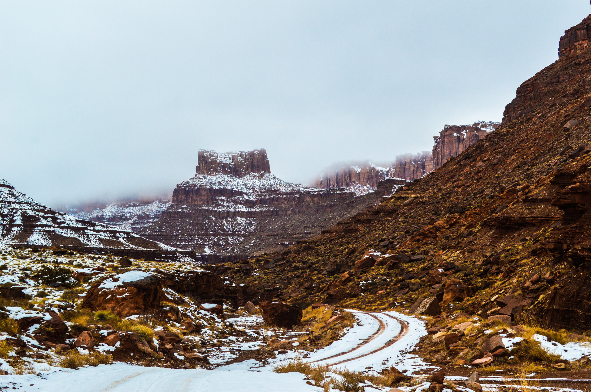
Deadhorse Point State Park is another “must-do” when visiting Moab. Unfortunately for us, while we were staying in Moab we were in the midst of a pretty epic weather inversion, which meant that each time we tried to visit Deadhorse we were surrounded by fog so thick you had but 10 ft of visibility. Seeing the cliffs from inside Deadhorse were impossible. We simply could not leave Moab without experiencing this beautiful mesa with views of both Canyonlands, and the Colorado River 2,000 ft below. So what do you do when the weather gives you lemons? You rent a Jeep, and pulverize those lemons on Potash Road :) Potash Road, also known as Wall Street, follows towering sandstone cliffs on one side, and the Colorado Rivier along the other for 17 miles thru the back side of Deadhorse and into Canyonlands. This sheer-walled Wingate canyon includes sandstone arches like Corona Arch (which we had the pleasure of hiking to), petroglyphs, narrow side canyons popular for rock climbing, and even dinosaur footprints! Driving this 4WD track allowed us to sneak into the canyons of Deadhorse, beneath the extreme fog, and find our own slice of desert solitude before crossing into Shafer Basin and Canyonlands.
The only downside to visiting Moab in the winter (outside of the weather inversion) was large parts of the main town strip were closed for the season. The few shops that were open however were clearly geared towards locals, and certainly allowed us to establish more intimate connections with folks that weren’t just simply passing thru. I think it was these connections that helped to make Moab feel more like a second home, not just a stop on the larger trip.


